Ojstrica Trail in the Kamnik Alps
About Ojstrica Trail
In the summer of 2019, I spent several days in beautiful Slovenia and of course I wanted to do as much hiking as possible, especially because my opportunities for hiking and mountaineering were very limited in the winter and spring. For my “warm-up” adventure in Slovenia I decided to climb Ojstrica, a 2350 meters high mountain in the Kamnik – Savinja Alps. Ojstrica is a very beautiful mountain even though it doesn’t attract as many hikers as more famous Slovenian mountains such as Triglav, Kanin etc. Nevertheless, this also means that the trail is not very crowded which is good because it allows you to set your own tempo without scrambling your way past slower hikers or “queuing” up a narrow pass.
There are several trails leading to the peak and I decided to take the trail that starts close to Planina Podvezak. This is also the most popular trail to the top because it requires less ascent than the others. Nevertheless, the trail is physically demanding (15 kilometers in distance and 1100 meters in ascent) and requires scrambling at some points. As there is also a danger of falling rocks beneath the peak, it’s good if you bring a climbing helmet with you. Note that in any other season than the height of summer, this is a complicated ascent due to snow/ice and should be done only by experienced mountaineers who know how to use crampons and ice axes properly.
Ojstrica Trail Details
Physical Difficulty
Medium
Technical Difficulty
Demanding
Duration
7h 30 min
Distance
14.88 km
(9.25 mi.)
Ascent
1100 m
(3609 ft.)
Descent
1087 m
(3566 ft.)
Highest Point
2350 m
(7710 ft.)
Lowest Point
1351 m
(4432 ft.)
Date of the Hike Date when we did this hike ?
July 2019
Weather On the day when we did this hike ?
Mostly Sunny
Temperature On the day when we did this hike ?
28° C
(82° F)
Wind On the day when we did this hike ?
5 km/h
Warning!
This trail is technically demanding and requires experience with alpine mountaineering and good footwear.
Ojstrica GPS Route and Trail Description
*Click on the chart to see the location on the map
GPX route helps you with the navigation on a hike. It can be used with a smartphone, handheld GPS device or a GPS watch.About GPX Route
Reaching the starting point
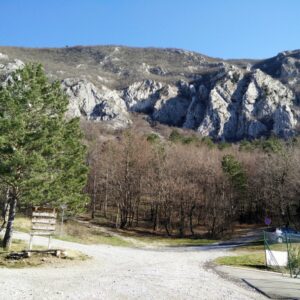
The trail starts at the Podvezak parking lot at the foot of the Kamnik – Savinja Alps. The parking lot is basically located in the middle of nowhere – the closest town to the parking lot is Kamnik, 60 kilometers or so away. As the parking lot is so remote, it’s obviously not accessible by public transport. However, you can easily reach the parking lot by car. The last couple of kilometers of the road are not in perfect condition (gravel road with many holes) but a 4X4 vehicle is not required. Nevertheless, be sure to drive slow and carefully there. The parking lot is free of charge and relatively big.
To reach the parking lot, you should first drive to the town of Kamnik which lies north of Slovenia’s capital, Ljubljana. From there you should drive towards Stahovica. If you are using Google Maps note that the directions will bypass Stahovica and lead you on a very poor road through the villages of Soteska, Markovo and Studenca. I don’t recommend taking that route, but rather to go towards Stahovica because the road there is in a much better condition. From Stahovica drive towards Podlom and when you reach Podlom, follow the direction signs for Podvolovjek. Soon after Podvolovjek you will see a direction sign for Korosica. Follow the direction sign and after driving for 10 kilometers you will reach the parking lot.
Trail
The trail to Ojstrica is well-marked with direction signs and painted red and white circles on rocks and trees. However, if you don’t feel comfortable navigating your way to the top, you can download my GPS track for free above. The following is a description of the trail.
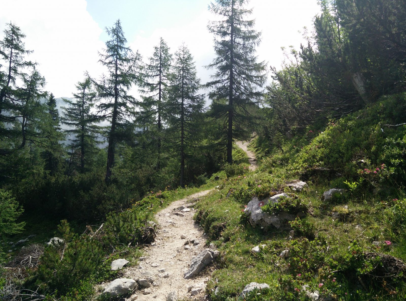
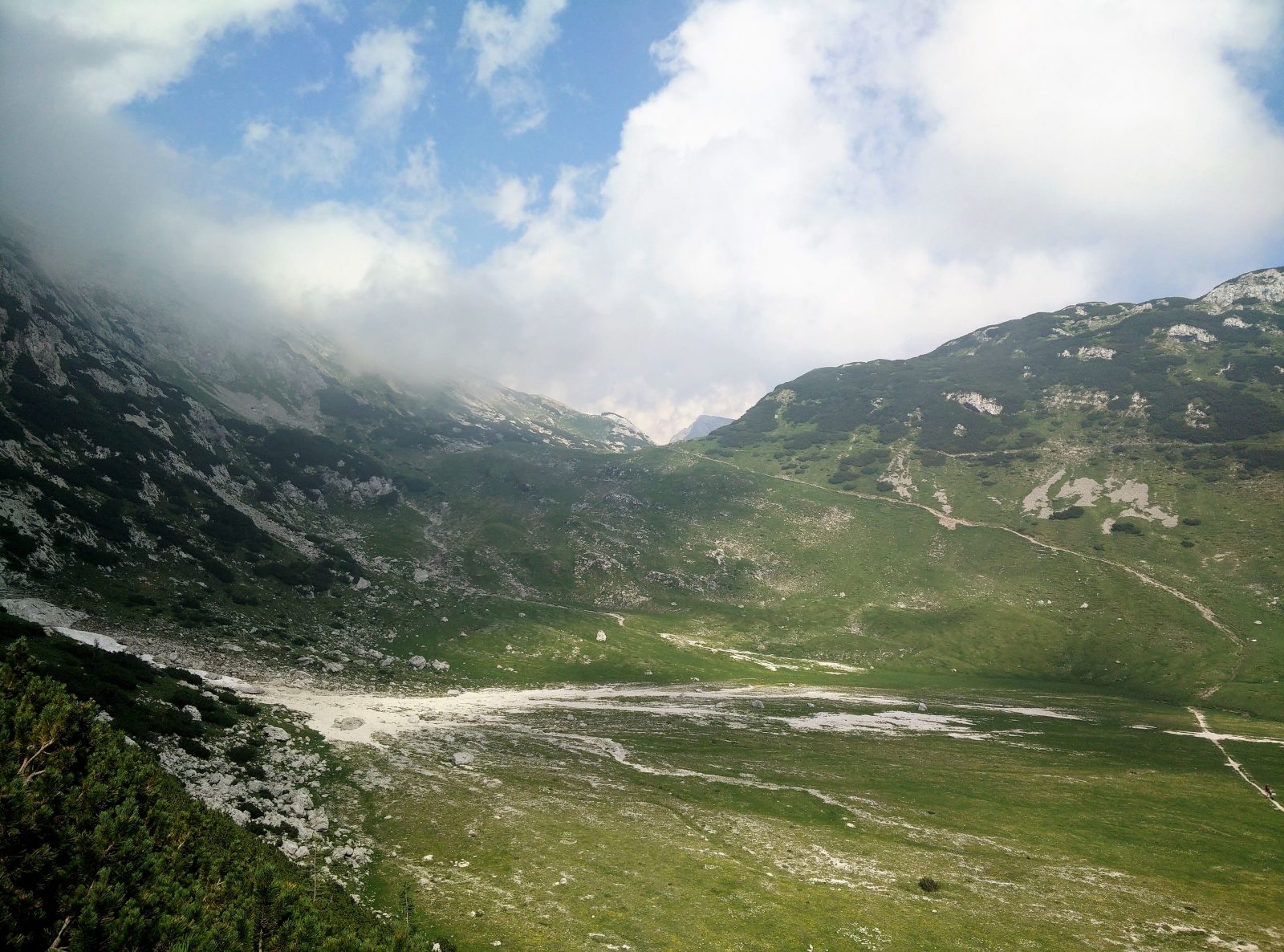
At the parking lot, find the path that goes north and after hiking on this path for several hundred meters you will reach Planina Podvezak (a mountain pasture) and a small mountain hut. From there onwards the trails ascends rapidly towards north and soon you will come to a crossroad. At the crossroad, go right towards Korosica. The windy path ascends gently and soon it brings you under the slopes of the 1715 meters high mountain Tolsti Vrh. There the path becomes flatter and even descends a little bit. After not so much walking the path splits (total distance of 5 kilometers). Both paths lead to Ojstrica; the left path first goes to the Kocbekov Dom mountain hut and then approaches the mountain from the western side while the right path approaches the mountain from the eastern side. The eastern path is faster but steeper and requires scrambling at some points. I decided to take the eastern path for the way up and the western path for the way down.
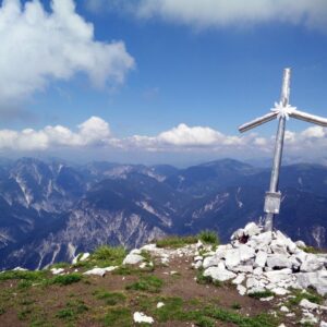
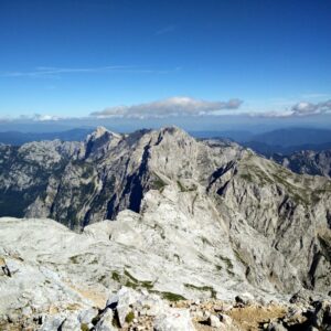
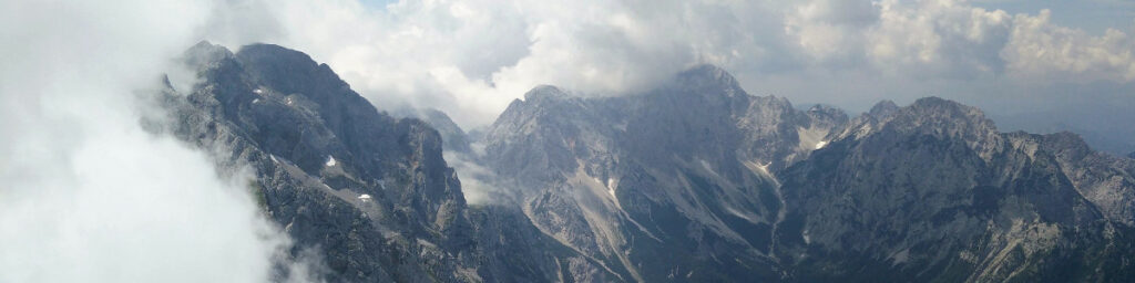
If you take the eastern path you will need and hour and fifteen minutes or so to reach the peak. When you reach the peak, you will be rewarded with an amazing view of the other mountains in Kamnik – Savinja Alps such as Planjava and Skuta. You will also get a great view of the beautiful Logar Valley.
For the way down I recommend taking the less steep western path. It will take you approximately one hour and a half to come back to the point where the paths split. This way you will also go past the Kocbekov Dom mountain hut which is unfortunately closed due to renovation. In 2017 a fire erupted in the mountain hut (allegedly due to a hiker who was cooking in there) and the whole thing burned down. Therefore, bring all your supplies with you (water, food etc.) as there is no option for resupplying on route.
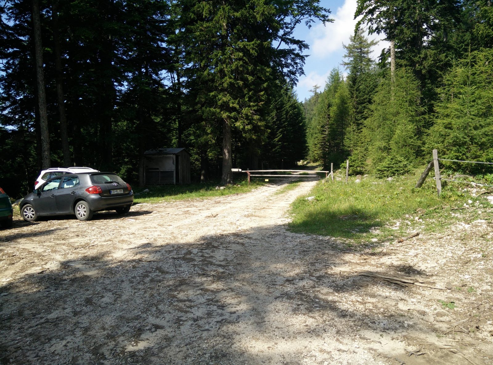
Ojstrica Trail – The starting point
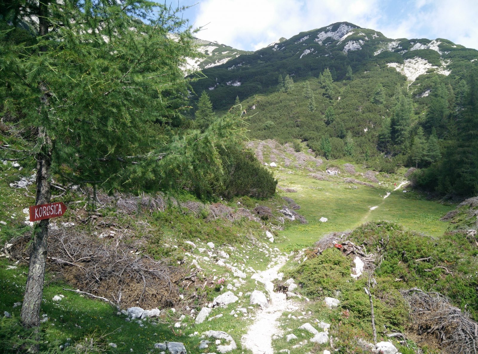
Ojstrica Trail – Here go towards Korosica
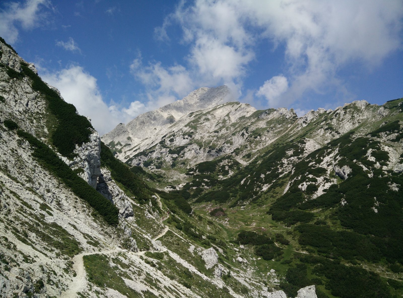
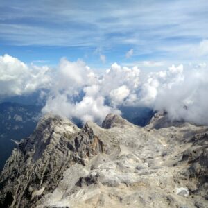
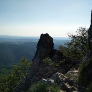
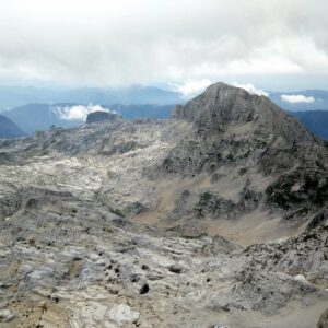
Ojstrica Trail – The peak is seen
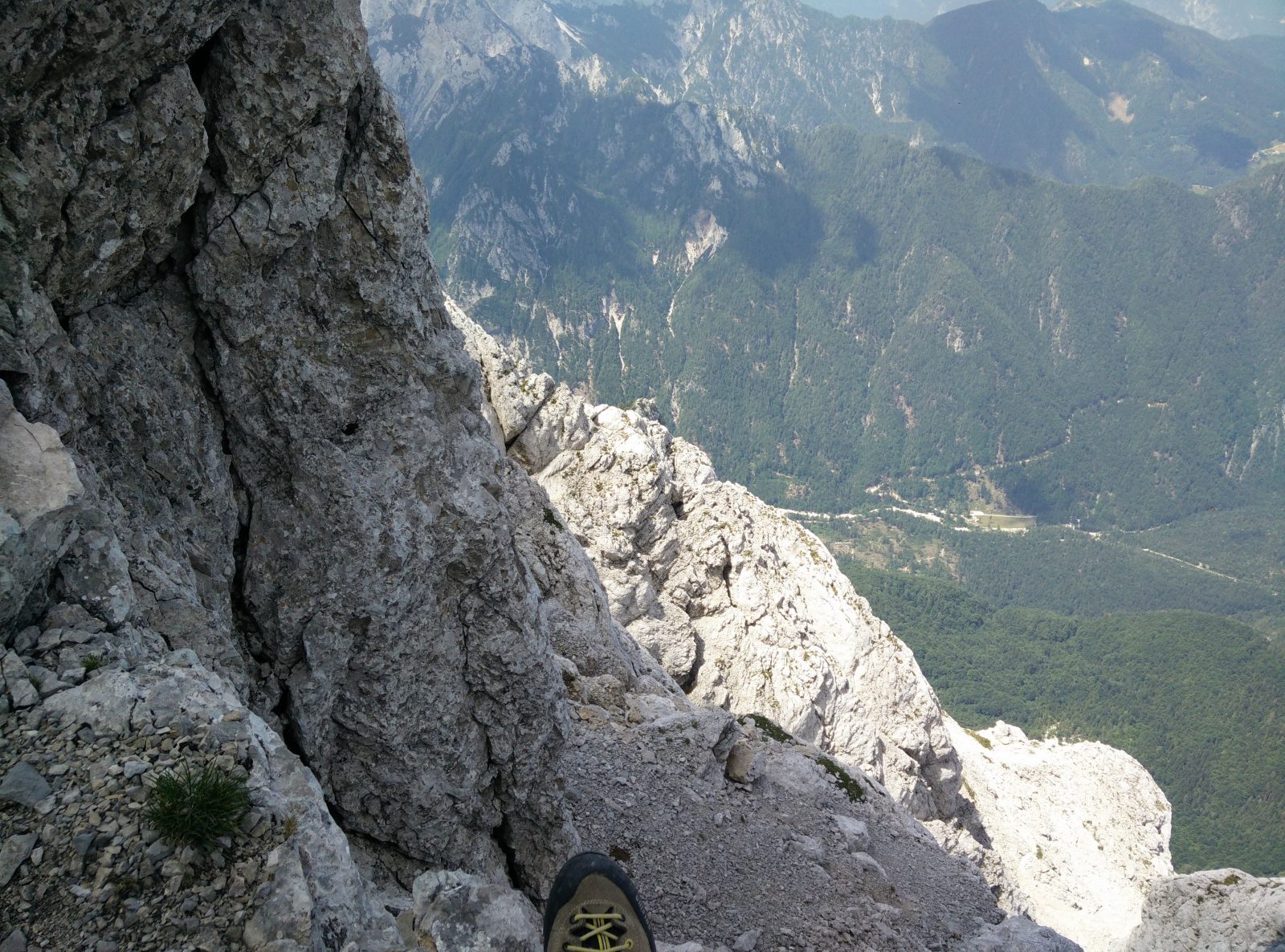
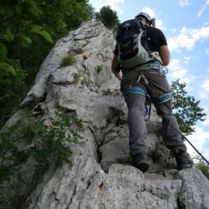
Ojstrica Trail – On the eastern path
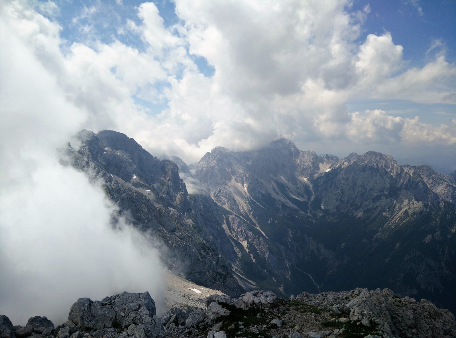
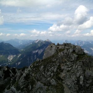
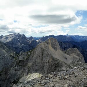
Ojstrica Trail – View from the top
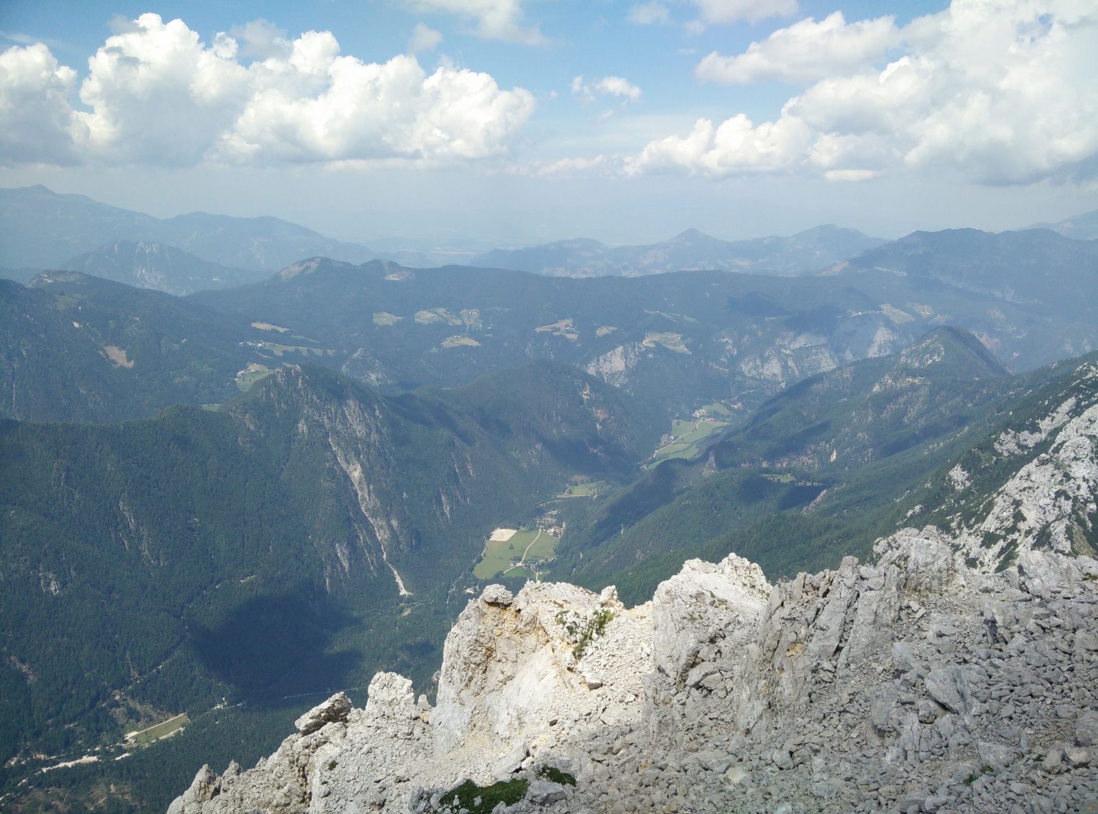
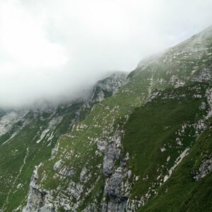
Ojstrica Trail – Logar Valley
Equipment
Because I anticipated that this would be a long hike, I wanted to pack as light as possible. In my Osprey Talon 22 daypack I was carrying 3 liters of water, some snacks, sun cream and my new Salomon S/LAB windbreaker. The weather forecast was good and thus I didn’t bring any rainwear with me. While hiking I was wearing the Icebreaker Tech t-shirt, Montane Terra Pack pants, Salewa Mountain Trainer Mid hiking boots and a sun hat. I also used the Montem Ultra Light 3K Carbon trekking poles for the first time.
Equipment under scrutiny
Montem 3K Carbon Trekking Poles
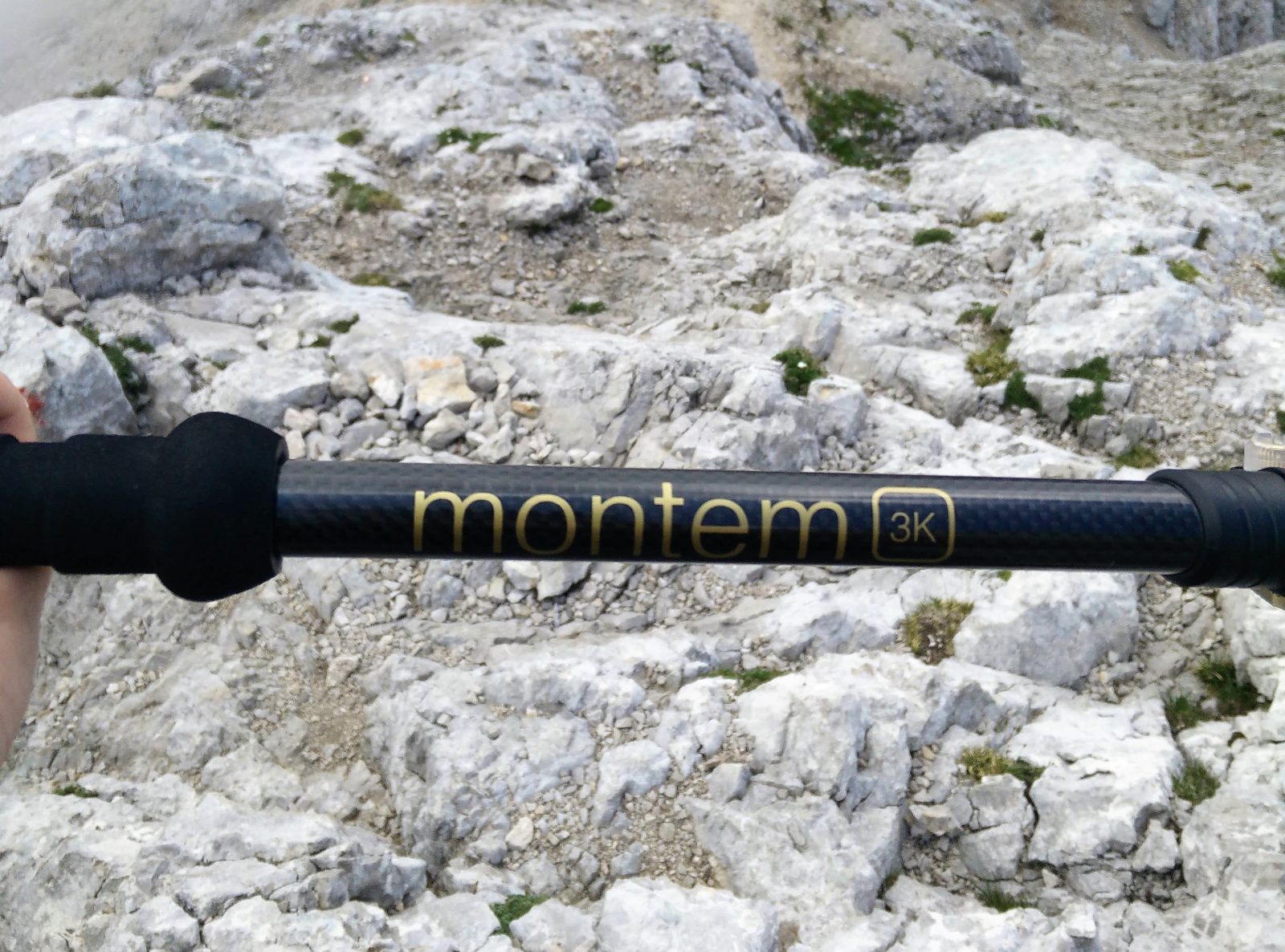
Montem 3K Carbon Trekking Poles
The Montem Ultra Light 3K Carbon trekking poles really surprised me on this hike. Due to the carbon fiber shafts and cork grips they are super light (220 grams per pole) and thus perfect for alpine ascents. They are also easy to adjust and when shortened they measure only 61 centimeters in length. While scrambling I attached them to my Osprey Talon 22 daypack using the Stow-On-The-Go system and they didn’t bother me at all. The only flaw I noticed are the baskets, which are of poor quality – I broke the basket on one of the poles on this very first hike. Also read the full review of the Montem Ultra Light 3K Carbon trekking poles.

Salomon S/LAB Windbreaker
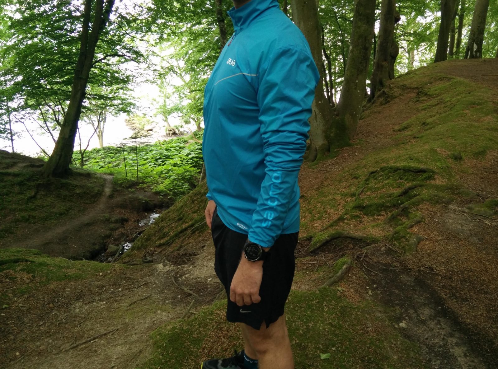
Salomon S/LAB Jacket
I mostly use the Salomon S/LAB jacket for running but it’s also very useful for hiking. The jacket is super light (it weighs merely 85 grams) and offers good protection against the wind. I had to put the jacket on when I reached the top because it was a bit windy up there. The jacket efficiently protected me against the wind, but I did have to be careful not to rub it against the rocks because the fabric is very delicate. Nevertheless, it’s a great windbreaker for fast alpine ascents where you don’t expect too much upper body contact with the mountain side. Also read the full Salomon S/LAB Jacket review.

Conclusion and photo gallery
The Ojstrica trail is a great day hike for those who already have some experience with hiking and mountaineering. The trail is physically demanding and requires scrambling at some points. Therefore, wear good hiking boots and bring a climbing helmet. Also don’t forget to bring sun cream and enough water and food. Before going on this hike, check the weather forecast and postpone the hike in case of bad weather. Thunderstorms are no joke in the Alps.
Ojstrica Trail - The trail ascends rapidly
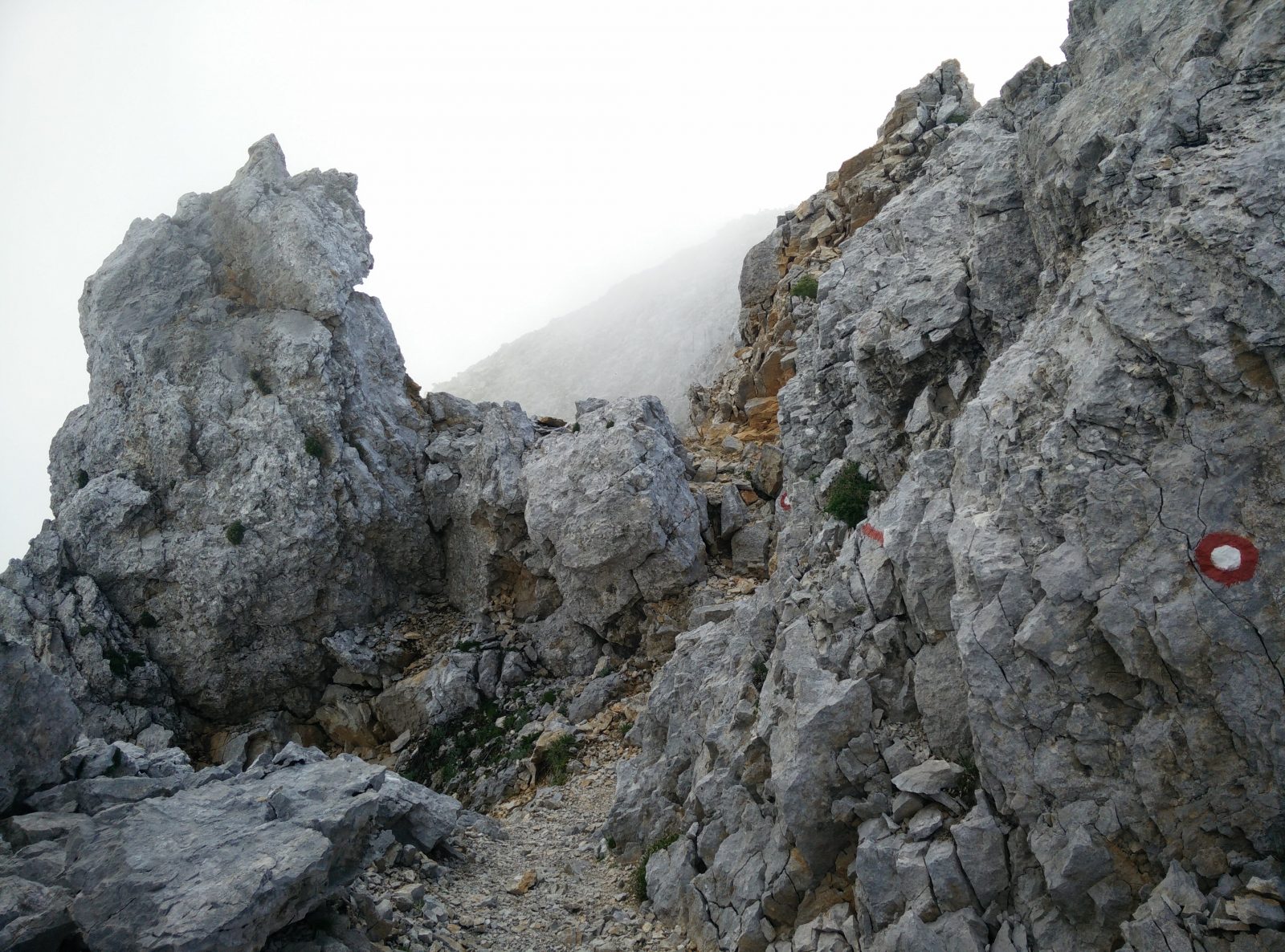
Ojstrica Trail - Scrambling is required
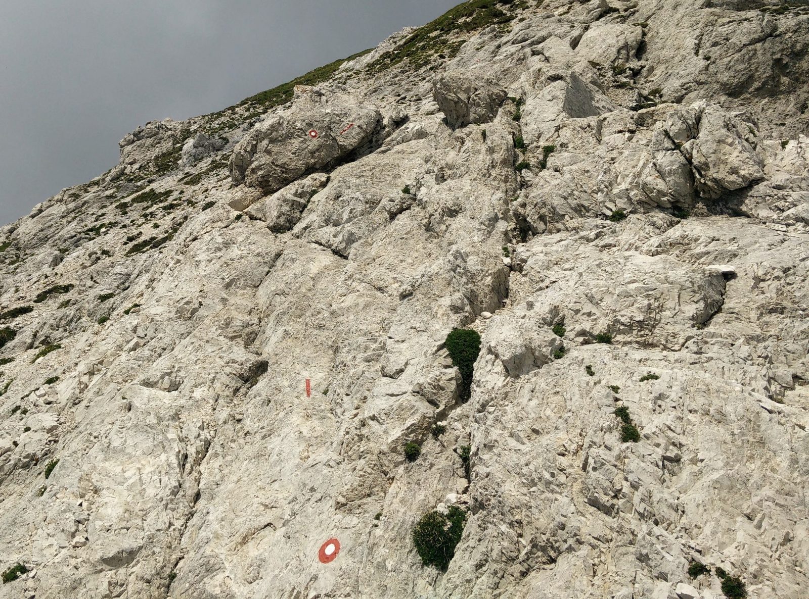
Ojstrica Trail - Eastern path is steep
Ojstrica Trail - On the eastern path
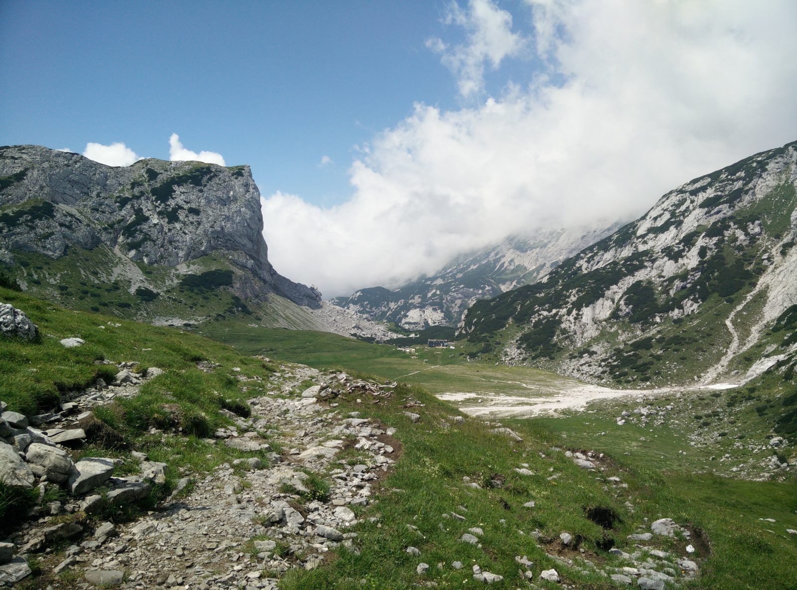
Ojstrica Trail - Kocbekov Dom is seen
Ojstrica Trail - View from the Kocbekov Dom mountain hut
If you have any questions about this hike, please drop me a line in the comments below.