About the Tunø Hiking Trail
Tunø is a small island located between the Danish peninsula and the larger island Samsø, where we also hiked recently. Due to the small size of the island, the longest hiking trail goes along its coastline and is just about nine kilometers long. Nevertheless, the landscape offers quite some variety as the southwestern shore features steep and dramatic coastal cliffs while the northeastern shore is more flat and serene. On a quiet day in the beginning of October our little family set off on this enjoyable hike from the ferry harbor on Tunø.
Tunø Hiking Trail Details
Physical Difficulty
Easy
Technical Difficulty
Easy
Duration
2 h 58 min
Distance
9 km
(5.59 mi.)
Ascent
34 m
(112 ft.)
Descent
19 m
(62 ft.)
Highest Point
17 m
(56 ft.)
Lowest Point
0 m
(0 ft.)
Date of the Hike Date when we did this hike ?
October 2021
Weather On the day when we did this hike ?
Partly Cloudy
Temperature On the day when we did this hike ?
14° C
(57° F)
Wind On the day when we did this hike ?
18 km/h
Tunø GPS Route and Trail Description
*Click on the chart to see the location on the map
GPX route helps you with the navigation on a hike. It can be used with a smartphone, handheld GPS device or a GPS watch.About GPX Route
Reaching the starting point
You can only reach Tunø by ferry from Hou on the mainland. The ferry has two departures from each point every day – one in the morning and one in the afternoon. Book your ticket in advance here. You can park your car free of charge at the harbor in Hou, but be aware of the parking signage to ensure that you have enough time. You can also come to Hou by public transport as bus 103 stops just next to the ferry – plan your travel on Rejseplanen.dk. Onboard the ferry, there is no cafeteria but a few vending machines with drinks and snacks, which you will need coins for. The ferry ride takes around one hour. Once on Tunø, there are a few options for food and drinks such as the Old Dairy, Tunø Smokehouse and Tunø Kro, but beware of opening hours – especially outside the summer season.
Trail
In terms of navigation, there is not much which can go wrong on Tunø as you simply follow the (foot) path which runs along its coastline. You can of course also venture a bit into the interior, but we sticked to the foot path most of the time. We did, however, diverge a bit in the beginning as we followed the paved road called Revet past the harbor office building (“Havnekontoret”) and up to the playground, where we then went west on the main street called Tunø Hovedgade and made a stop at the Old Dairy to get an espresso to-go for Blaz, who was desperate for a caffeine fix after not being able to buy coffee on the ferry (we had no coins!). From the Old Dairy we went down south on a wide dirt road just across called Søndenom with signs pointing towards the foot path. After following Søndenom for 100 meters, we went to the right on a foot path going directly south. At the end of it, we came to the “real path” running along the coastline.
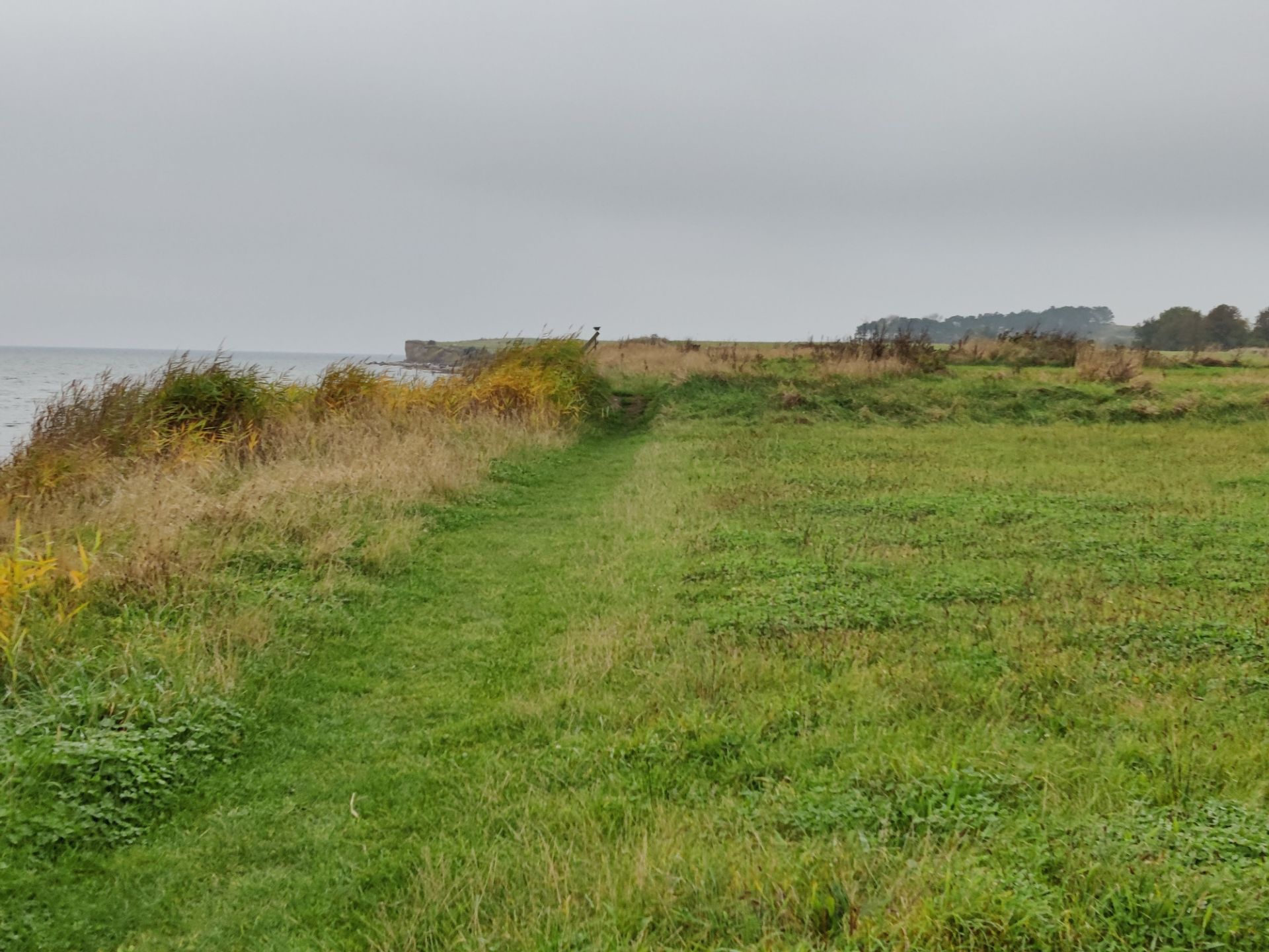
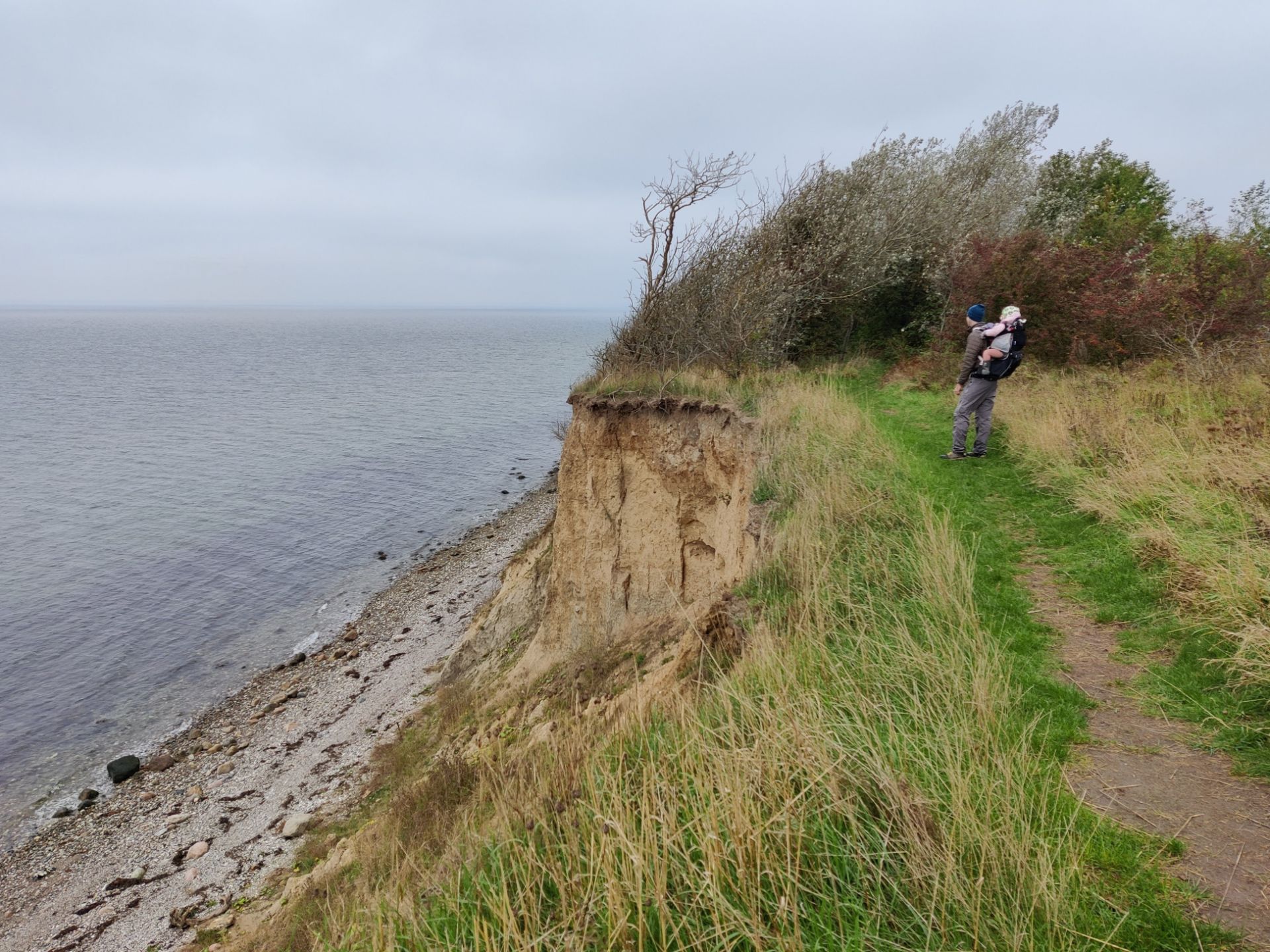
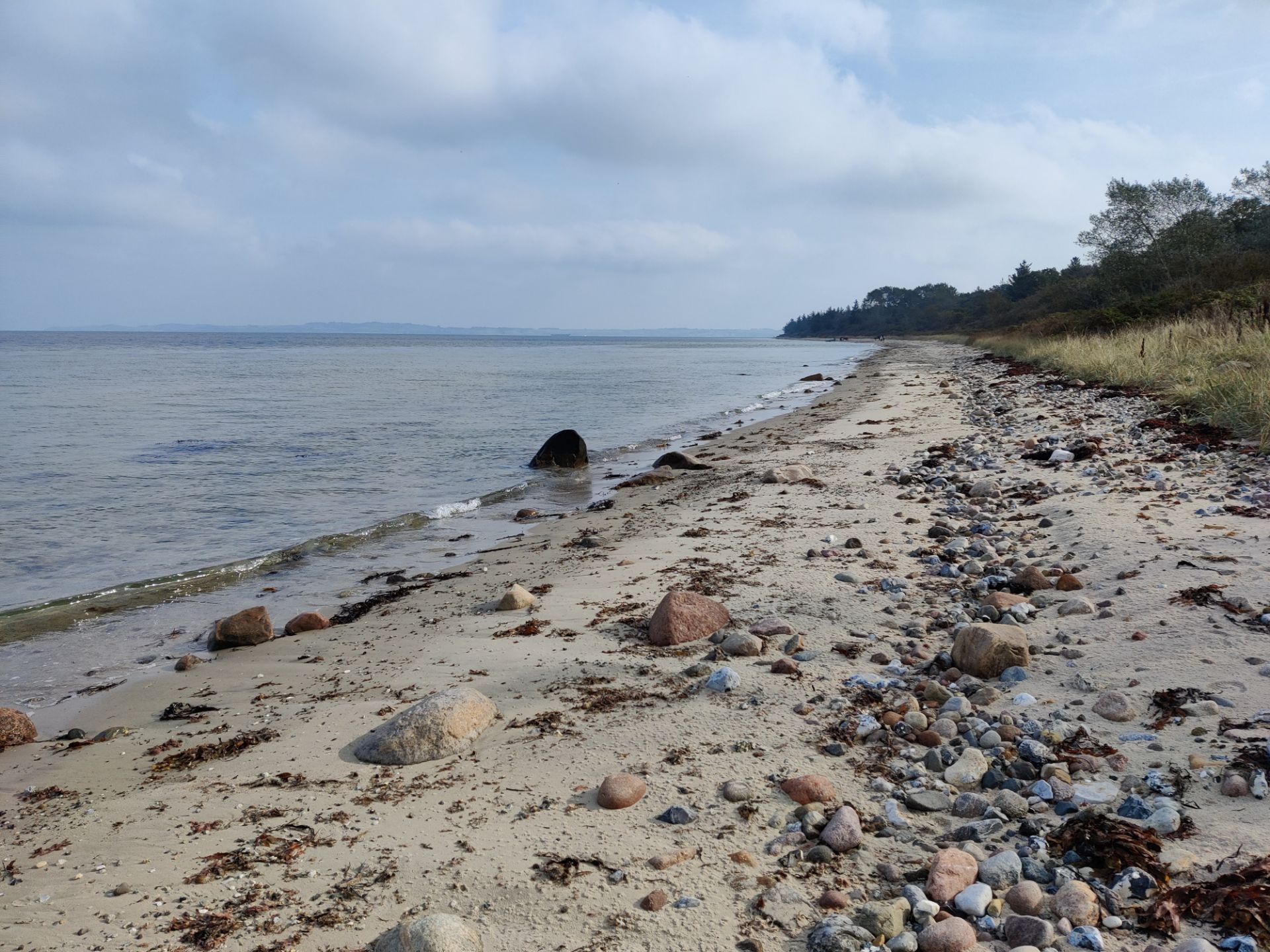
If you, unlike us, don’t need refreshments and just want to get on the coastal path as soon as possible from the ferry, you don’t walk past the harbor office but instead turn right on the foot path running west just before the building. You also save a few hundred meters of walking that way. In the beginning the path is rather flat but once you have passed the most southern point of the island, it starts to ascend, and you walk next to some very steep cliffs called Sønderklint (‘Southern Cliff’). There are warning signs along the path, but it is worth repeating that you should not come too close to the edge. The Danish ground is in general quite sandy, which makes cliffs like these rather unstable – you are not standing on solid rock, and landslides do happen. Even if the drop is ‘only’ 12-15 meters, a fall could be fatal.
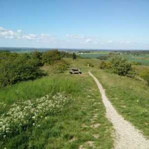
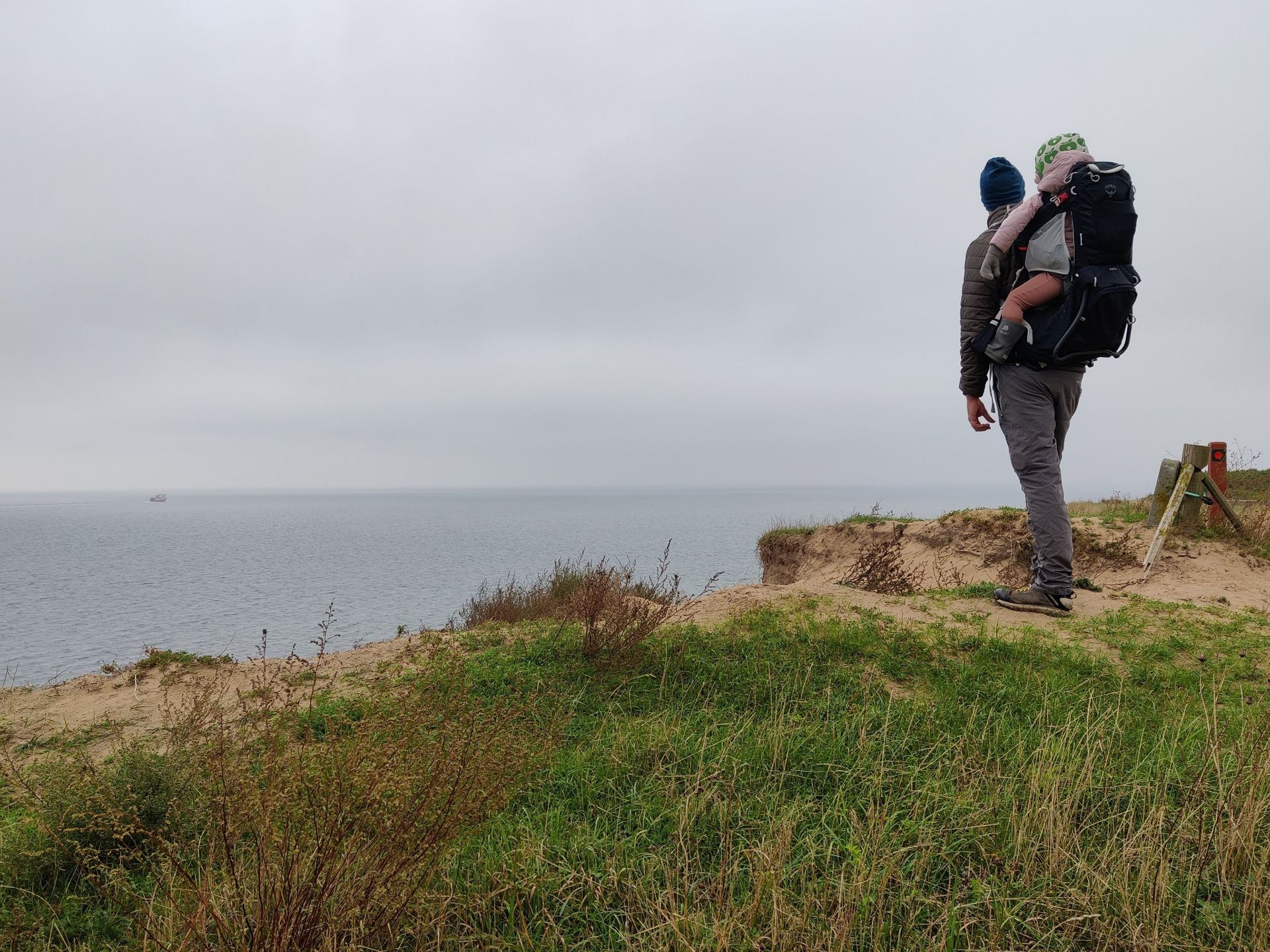
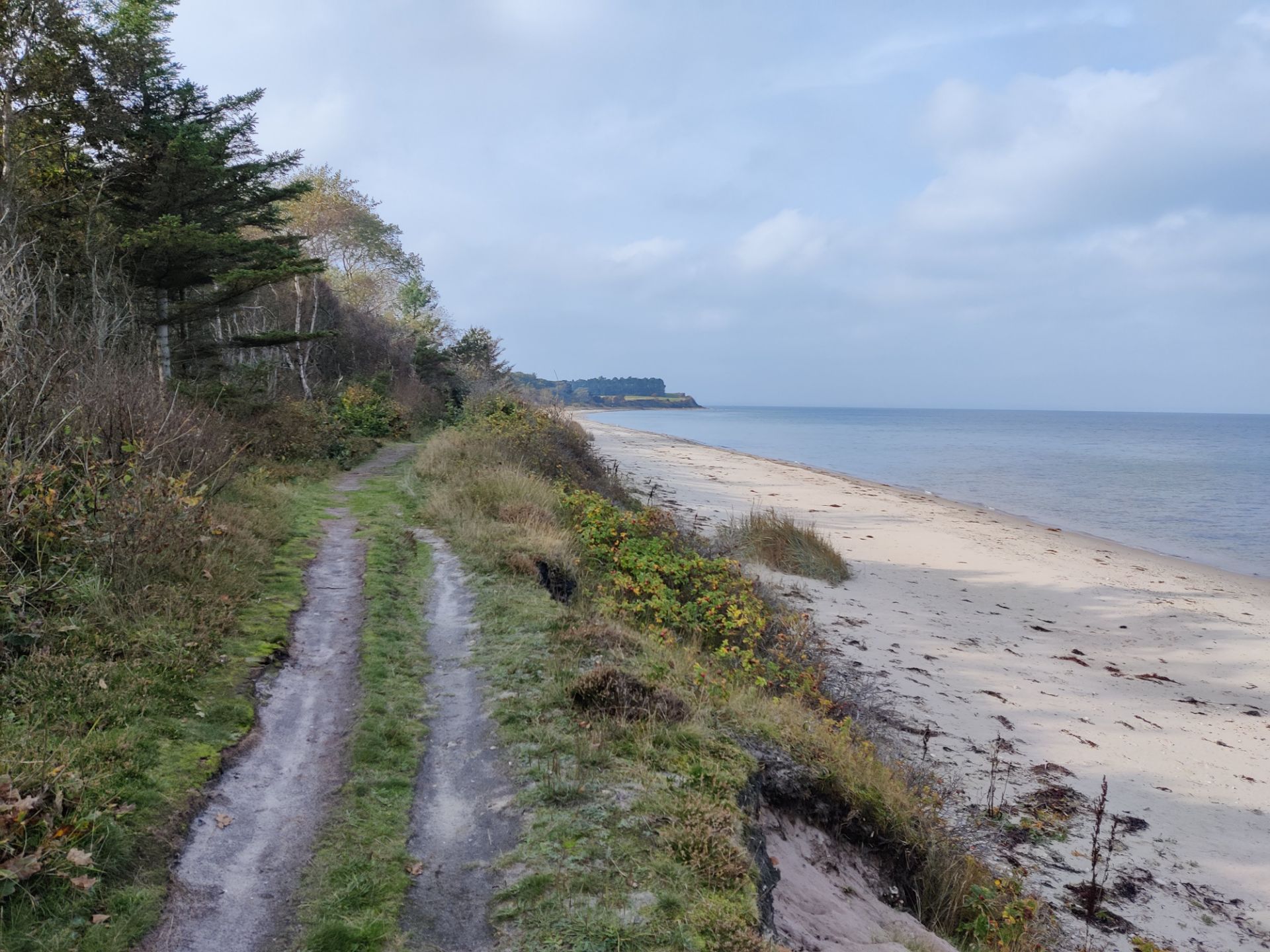
Once you get closer to the western tip of Tunø, called Stenkalven (‘the Stone Calf’), the path descends again and runs close to the shore. 200 meters before Stenkalven you will also find a picnic area and a public toilet if nature calls. After passing Stenkalven the path runs low for a while and then ascends up over Nørreklint (‘Northern Cliff’), which is slightly lower than Sønderklint, but still dramatic and beautiful. There is a picnic area here, but due to the risk of the little one running off and going for the edge (!), we instead made a lunch break shortly after Nørreklint, where the path again reached beach level and the biggest risk was getting wet feet. We had plenty of time before our ferry departure but had to walk on to get MK to sleep in the backpack, so we didn’t stay that long.
As we continued, the weather improved so much that it got sunny. If we hadn’t been so keen to get the little one to sleep, we might have made a stop at the scout site at Tunø Nordstrand (with a picnic area, public toilet, shelter options etc.), which we reached after walking about seven kilometers altogether. Instead we continued on the path towards southeast and first stopped close to the picnic area near the eastern tip of Tunø called Revet (‘ the Reef’). MK of course woke up briefly, but we managed to get her to sleep on the ground cuddled up in a sleeping bag. After spending an hour or so here, we continued on the path which near the eastern tip takes an abrupt turn towards southwest and becomes a wide dirt road running through Tunø Camping site.
After 500 meters the dirt road reaches the playground near the ferry harbor and the paved main road of the island. Depending on how much time you have left, you can go directly to the ferry, or enjoy a meal or other refreshments at one of the island’s establishments which are all close to the ferry. We chose to spoil ourselves with a cup of cacao at the Old Dairy before walking down and taking the ferry back to the mainland.
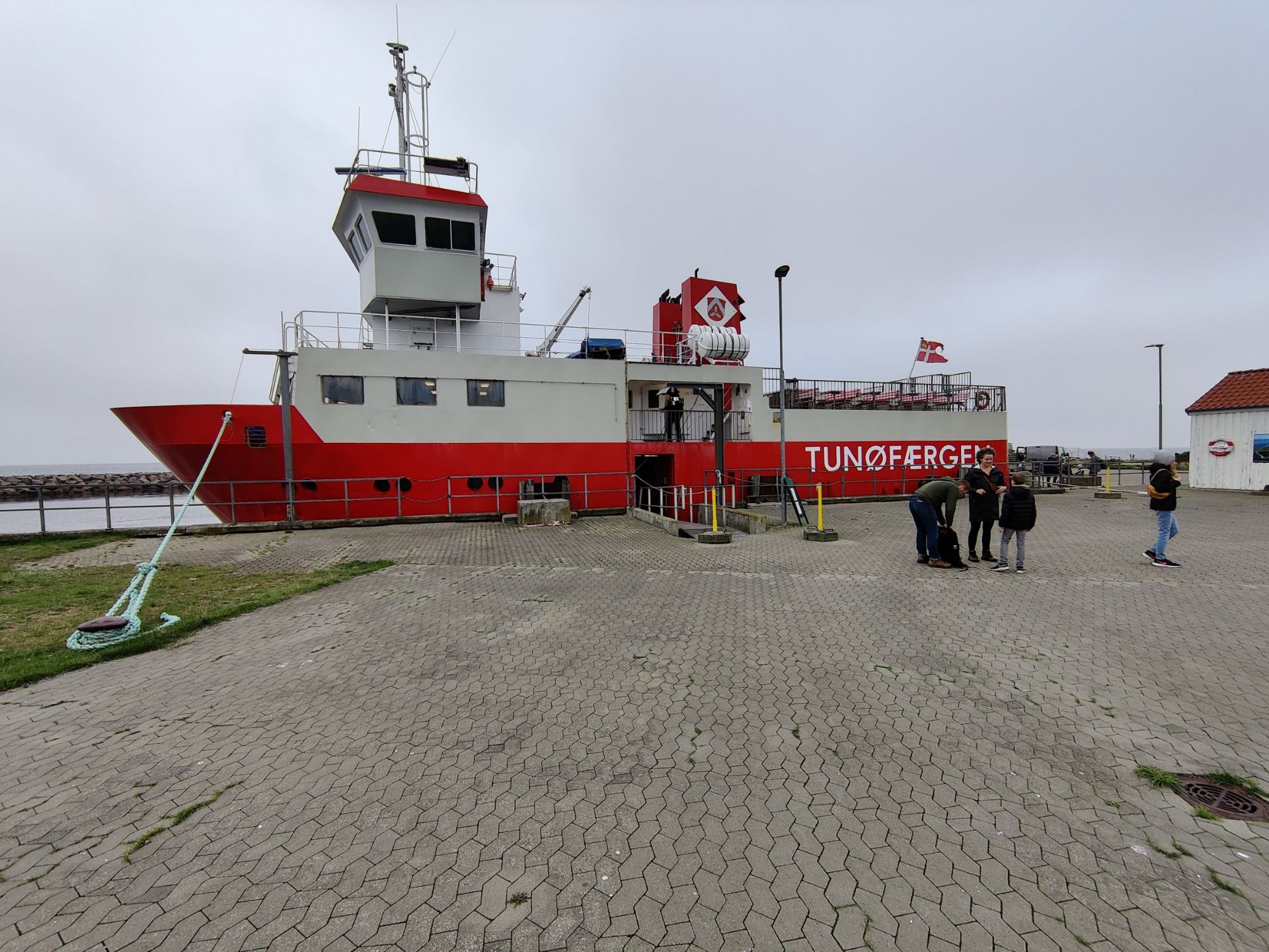
Tunø Hiking Trail – arriving with the ferry
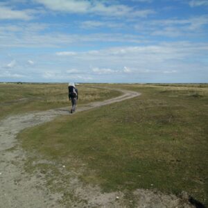
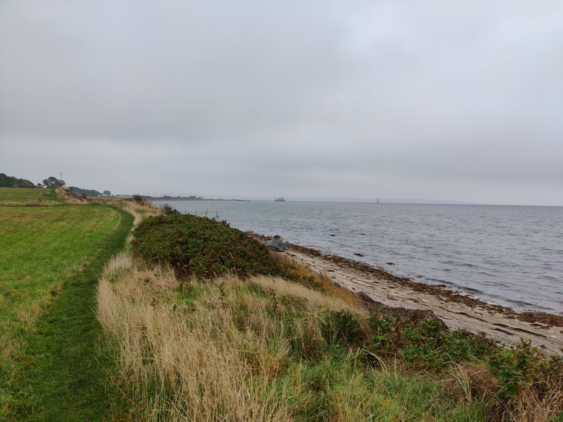
Tunø Hiking Trail – coastal path starts out low
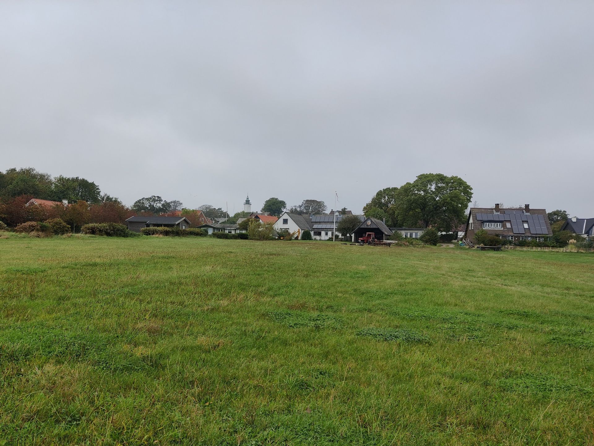
Tunø Hiking Trail – view on the island’s main settlement
Tunø Hiking Trail – windswept vegetation
Tunø Hiking Trail – the cliffs are very steep
Tunø Hiking Trail – path becomes flat close to Stenkalven
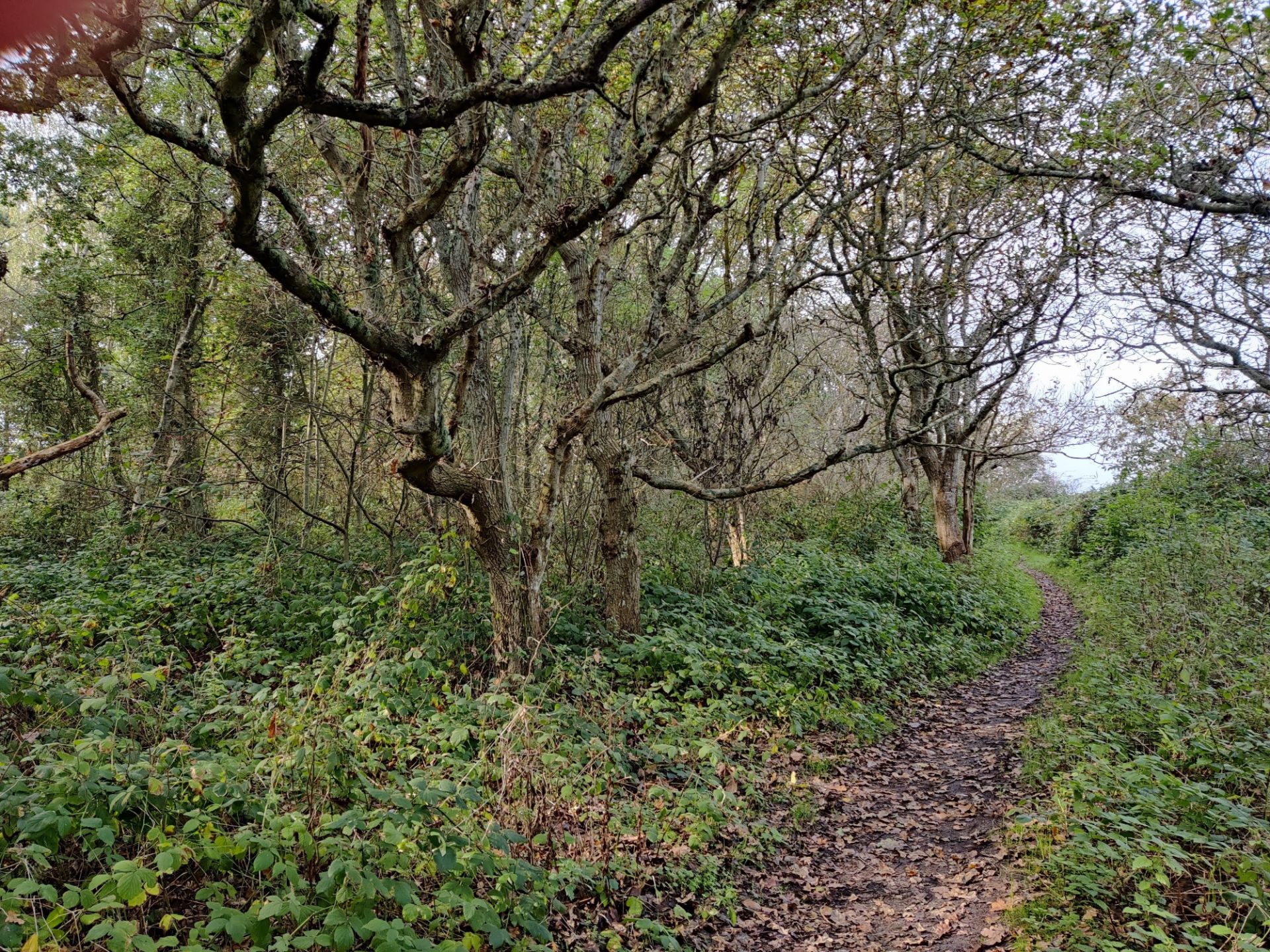
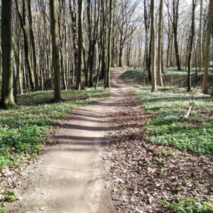
Tunø Hiking Trail – a bit of forest near Stenkalven
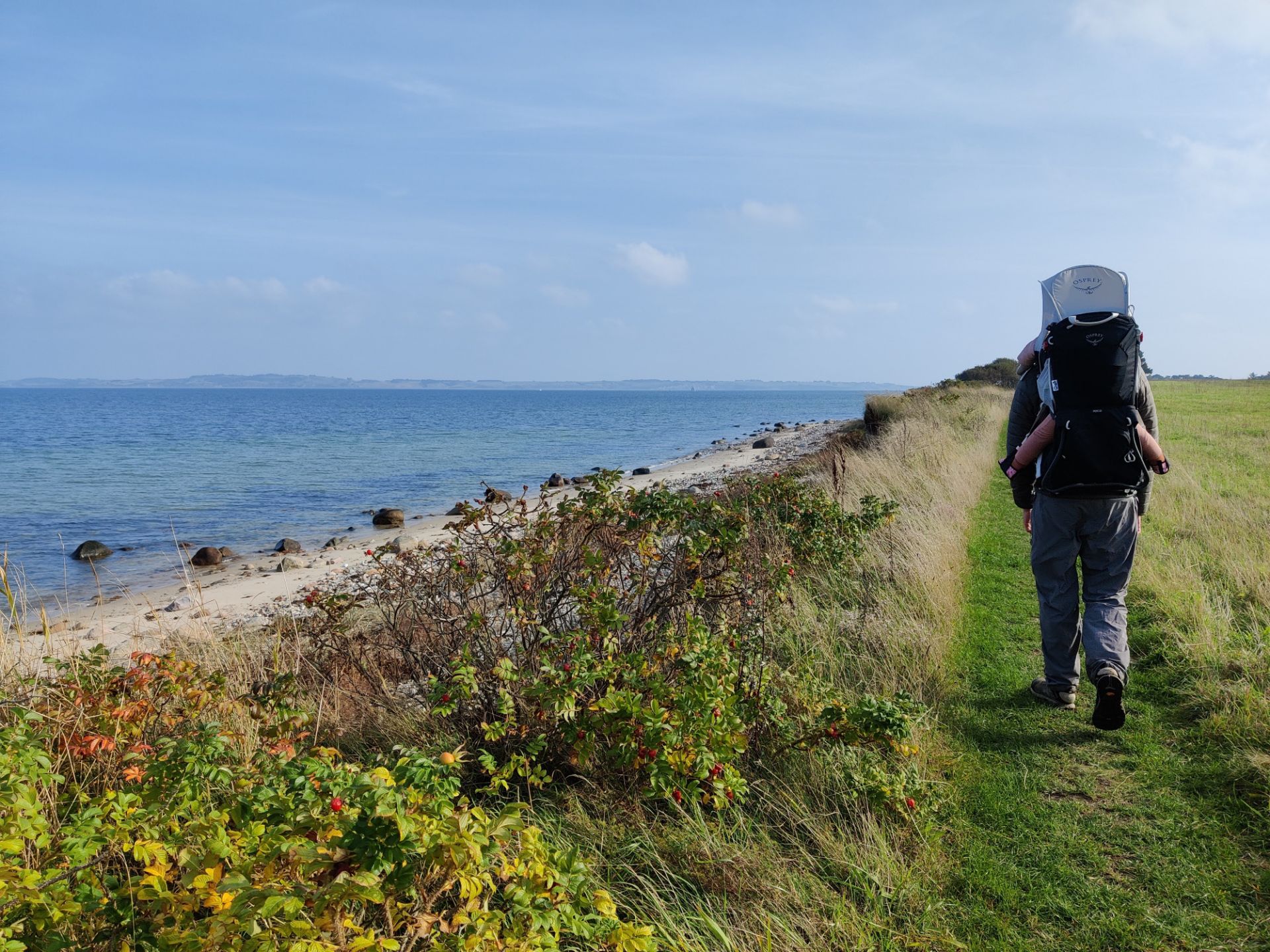
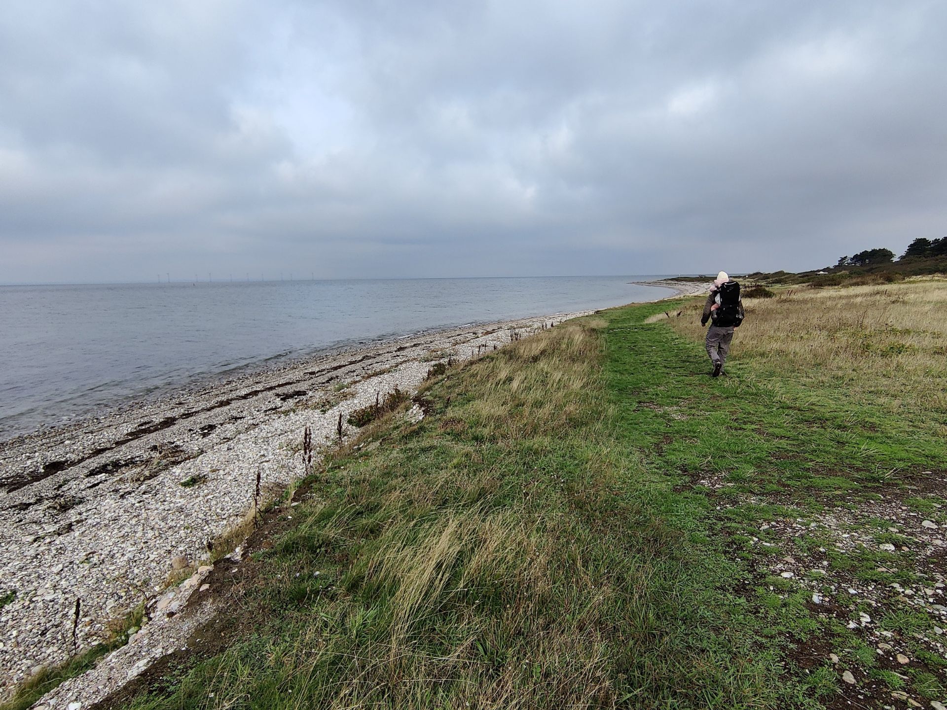
Tunø Hiking Trail – path runs close to the beach at times
Equipment
For this hike I wore the CimAlp Freeze fleece jacket over the Patagonia Capilene Cool Trail t-shirt and Asics Fit Sana tank top with built-in bra, as well as the CimAlp Interstice Light pants, Falke TK2 Wool Silk socks and a pair of lightweight hiking boots. Our daughter MK wore the Patagonia Baby Quilted jacket and Capilene pants in addition to a Merino base layer and sleeveless bodysuit.
Equipment under scrutiny
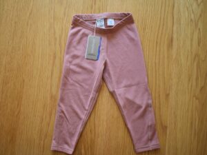
Patagonia Baby Capilene pants
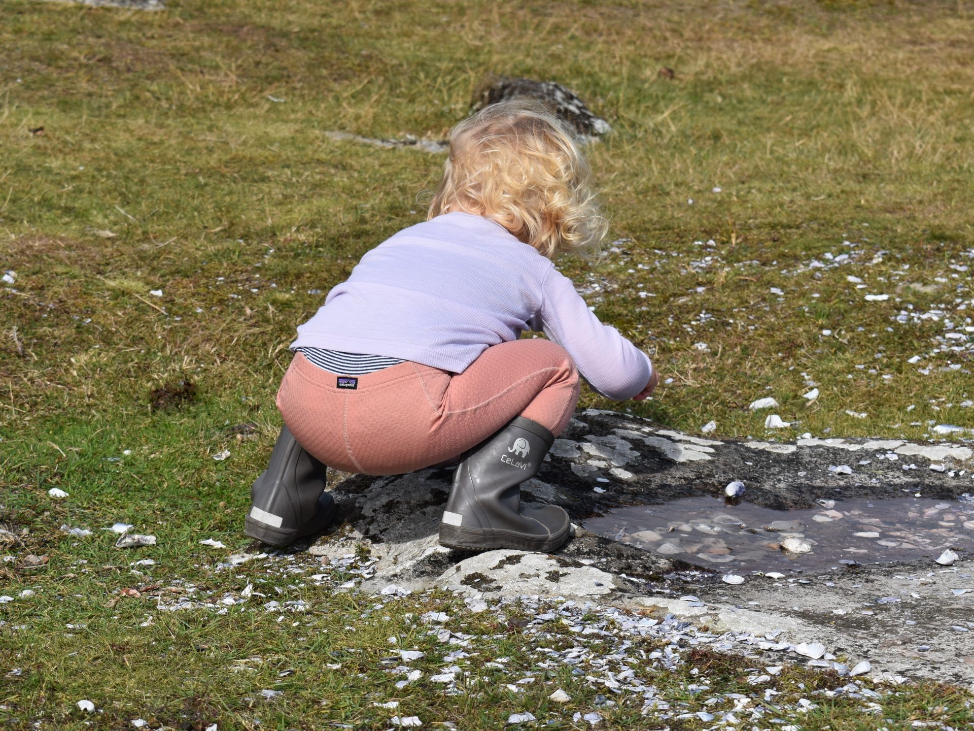
Patagonia Baby Capilene Pants
The Patagonia Baby Capilene pants are perfect for early fall hiking as they are made of a soft napped polyester double-knit fabric with a diamond-grid pattern, where the warm air from the body is efficiently trapped inside each “diamond”. This makes them warmer than most cotton pants, and perhaps even warmer than Merino leggings as they also seem to offer a certain amount of wind resistance. Read the full review of the Patagonia Baby Capilene pants here.
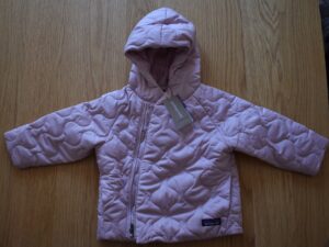
Patagonia Baby Quilted jacket and pants
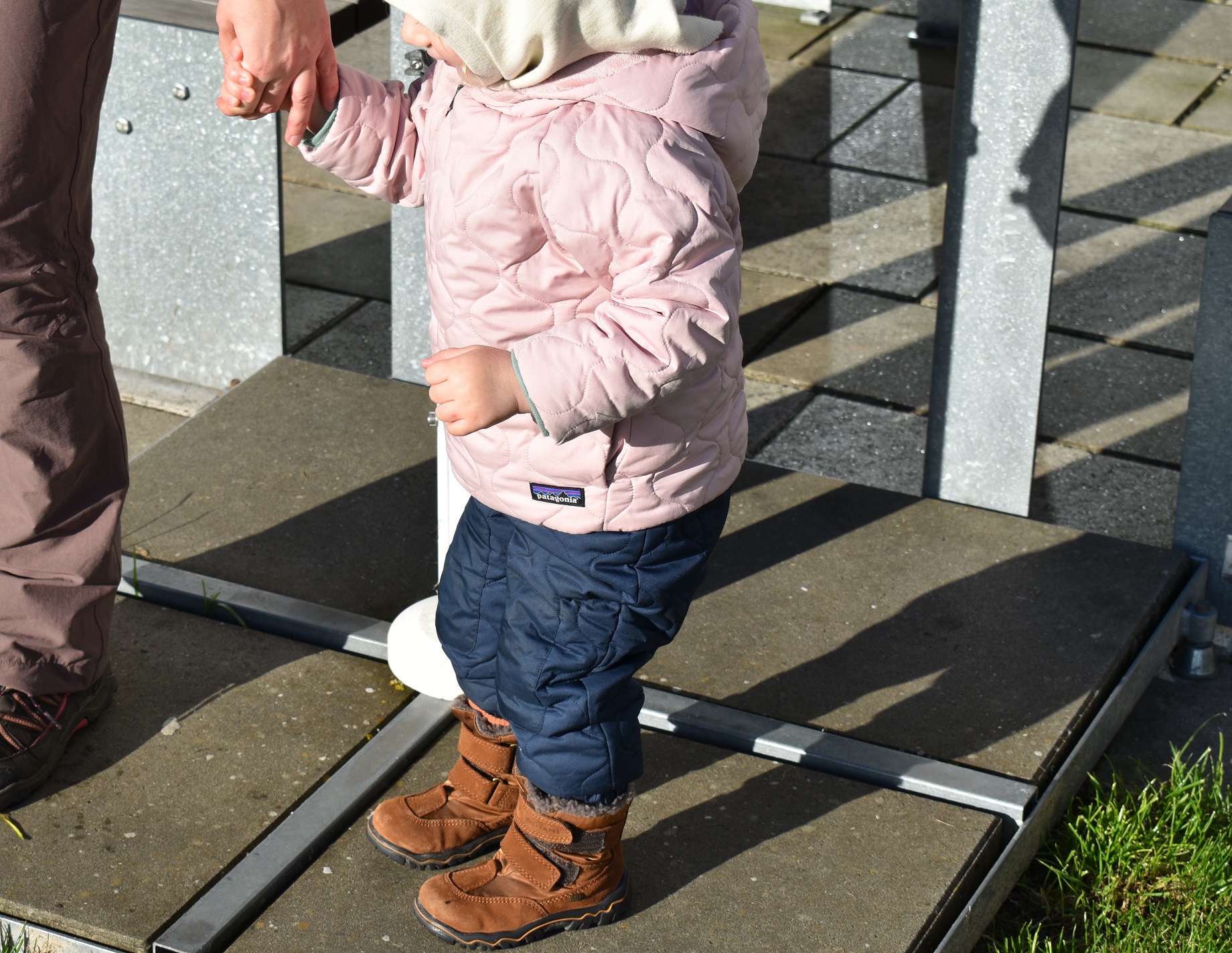
Patagonia Baby Quilted jacket and pants
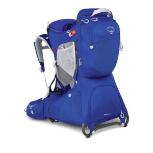
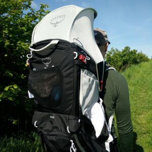
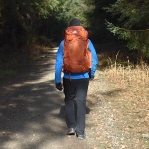
MK wore the Patagonia Baby Quilted Puff jacket throughout the hike, while we only put the quilted pants on her just before her nap in the Osprey Poco child carrier. Both garments are insulated with synthetic THERMOLITE® ECO92 (92% recycled polyester) insulation for cool to cold weather, and are great for all but the coldest of winter days (below the freezing point). You can read the full review of the quilted Patagonia set here.
Conclusion and photo gallery
The Tunø hiking trail is an easy trail for everyone, where you’ll be fine wearing trekking shoes on the mainly grassy path. The landscape is lovely as the small island offers both steep cliffs and sandy beaches. You can stop for refreshments at various places as well as sleep over on the island, but be sure to check opening hours as well as departure times for the small ferry, which is the only link to the mainland.
Tunø Hiking Trail - a look back on the ferry departing for the mainland
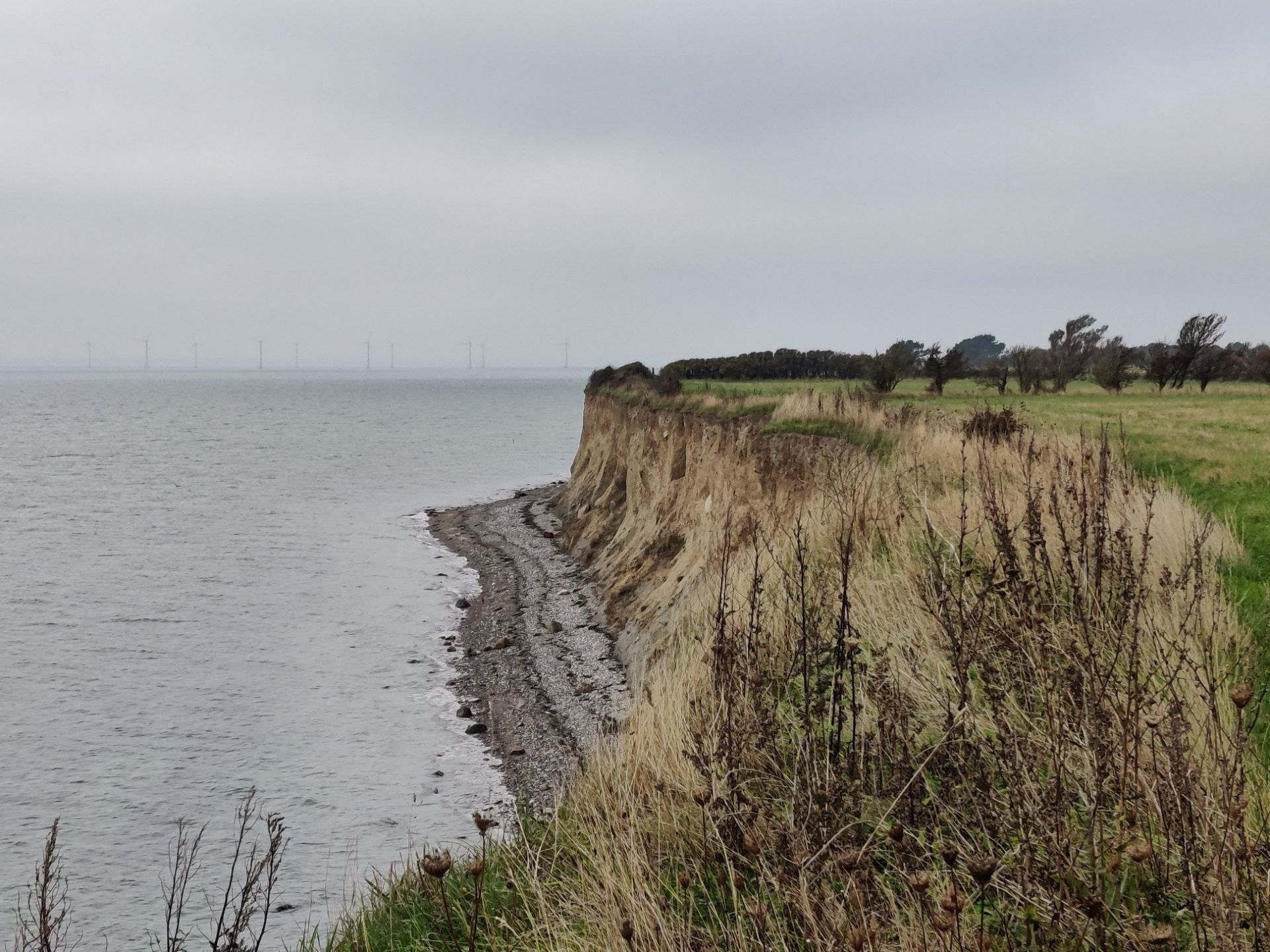
Tunø Hiking Trail - a view from Sønderklint
Tunø Hiking Trail - our lunch spot at the northern beach
Tunø Hiking Trail - a look back on Nørreklint
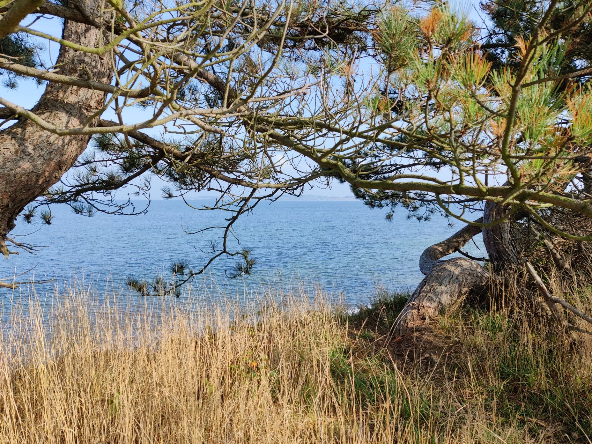
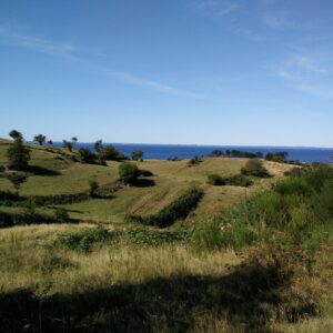
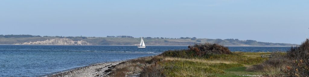
Tunø Hiking Trail - the view was almost Mediterranean at times!
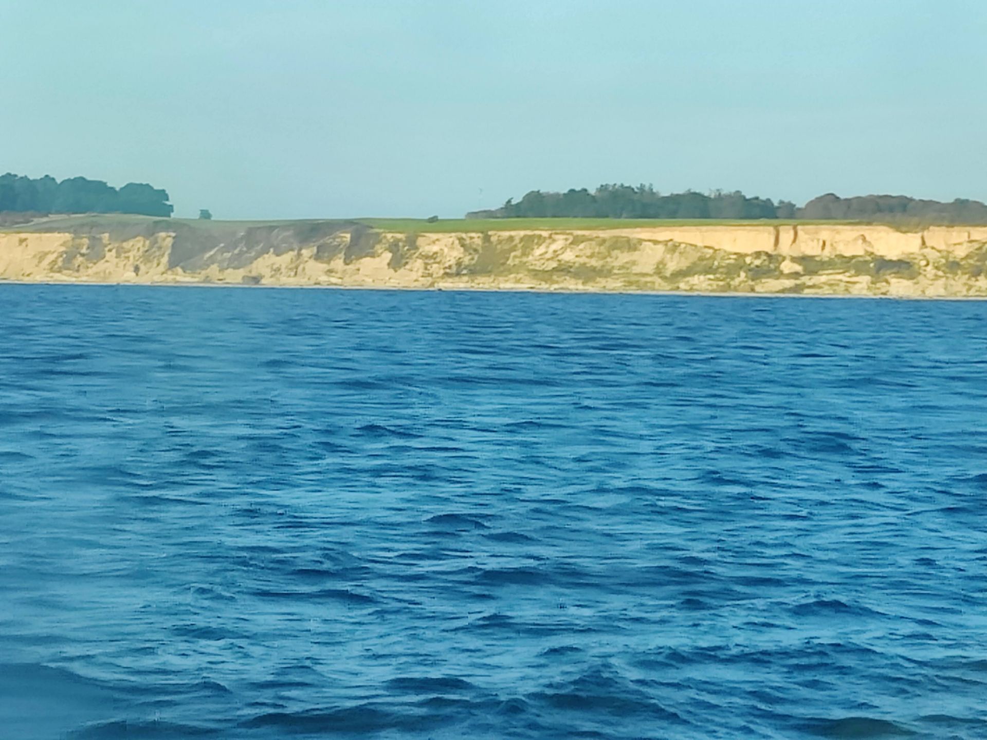
Tunø Hiking Trail - a blured view on Tunø's coastal cliffs from the ferry's porthole
If you have any questions about this hike, please drop me a line in the comments below.