Tolsti Vrh Kriska Gora Trail
About the Tolsti Vrh – Kriska Gora Trail
In the spring I was in Slovenia and of course I wanted to go hiking. The weather was unfortunately quite bad during my stay and thus I really struggled to find a day suitable for hiking at higher altitudes. Nevertheless, there was an opening in the middle of the week where the weather was supposed to be dry and partly cloudy. Since the conditions weren’t ideal, I decided against going higher than 2000 meters above sea level. I planned a hike to the popular 1715-meters high Tolsti Vrh in Kamnik Savinja Alps. The route I decided to take starts in a small village called Gozd and after reaching Tolsti Vrh takes you past Kriska Gora mountain cabin where you can buy good local food and drinks. This is a popular and not an overly demanding hike. However, you should be reasonably fit to successfully execute it.
Tolsti Vrh – Kriska Gora Hiking Trail Details
Physical Difficulty
Medium
Technical Difficulty
Easy
Duration
4 h 30 min
Distance
9.55 km
(5.93 mi.)
Ascent
867 m
(2844 ft.)
Descent
864 m
(2835 ft.)
Highest Point
1719 m
(5640 ft.)
Lowest Point
894 m
(2933 ft.)
Date of the Hike Date when we did this hike ?
May 2023
Weather On the day when we did this hike ?
Cloudy
Temperature On the day when we did this hike ?
11° C
(52° F)
Wind On the day when we did this hike ?
10 km/h
Tolsti Vrh – Kriska Gora Hiking Trail GPS Route and Trail Description
*Click on the chart to see the location on the map
GPX route helps you with the navigation on a hike. It can be used with a smartphone, handheld GPS device or a GPS watch.About GPX Route
Reaching the starting point at Zavetisce v Gozdu
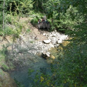
This hike starts at Zavetisce v Gozdu mountain cabin which is just a few hundred meters away from a small village called Gozd. The best way to reach Zavetisce v Gozdu is to head towards Kranj on the Slovenian E61 highway which connects Slovenia with Austria in the north and Italy in the south. Then you should take the Kranj zahod exit and follow direction signs for Golnik. After driving on a good local road for approximately 8 kilometers, you’ll reach Golnik. In Golnik continue through the town and follow the direction signs for Trzic. After driving for a few kilometers, you’ll come across a road on the right, accompanied by a directions sign indicating the way to Gozd village. This road can be easily overlooked, so it’s important to remain attentive after Golnik. Take the right road here and continue for approximately 3 kilometers until you arrive at Zavetisce v Gozdu. There you can park your car free of charge. The roads to the starting point are in good condition (asphalt). The last stretch is a bit narrow but not terribly so.
Now, reaching Zavetisce v Gozdu by public transport is quite difficult but not impossible. The bus only drives to Golnik. So, if you do decide to take public transport, you’ll have to hike up to Zavetisce v Gozdu. There is a hiking trail going from Golnik to Zavetisce v Gozdu (see here). However, this stretch will prolong your hike for an hour each way and add four kilometers to the already quite long total distance of 10 kilometers. You can buy bus tickets and check timetables for buses here.
Trail Description
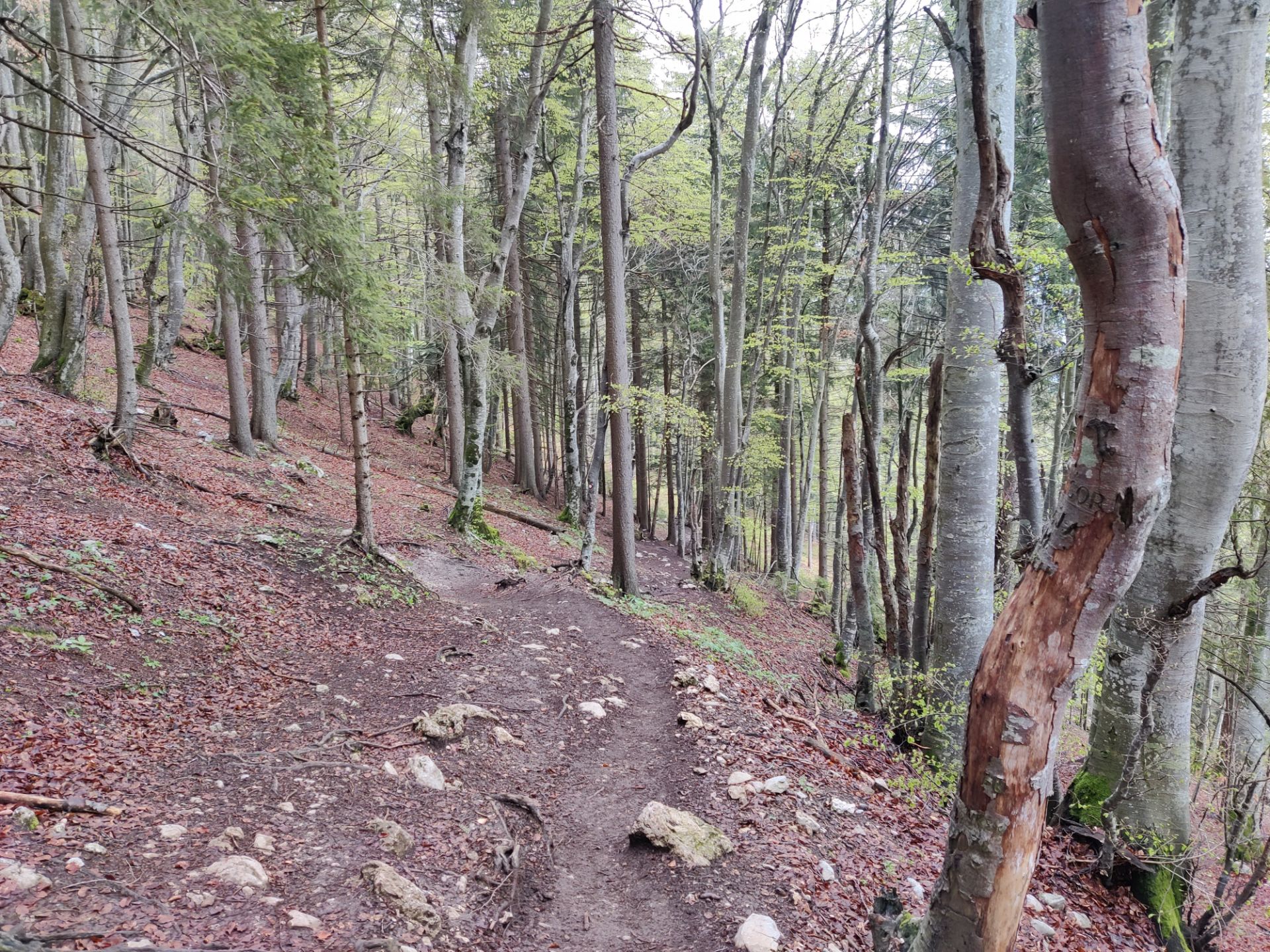
From the parking place, you should head towards the Gozd village in the direction of east on the same road as you took to reach the parking place. In a few minutes the asphalt road will turn into a gravel road, and soon after that you’ll reach the village. There is a big church at the beginning of the village. Follow the road through the village and shortly you’ll come to a red direction sign, indicating hiking trails. Here you should go left in the direction of Kriska Gora and Tolsti Vrh. Soon after that, you’ll come across another direction sign which indicates that both the left path and the right path go to Tolsti Vrh. This is not a mistake, as there are indeed two distinct trails leading to the mountain. The eastern trail is a bit shorter than the western trail. I decided to take the eastern trail here by going right.
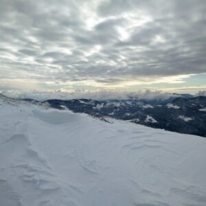
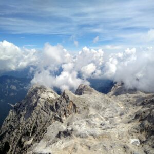
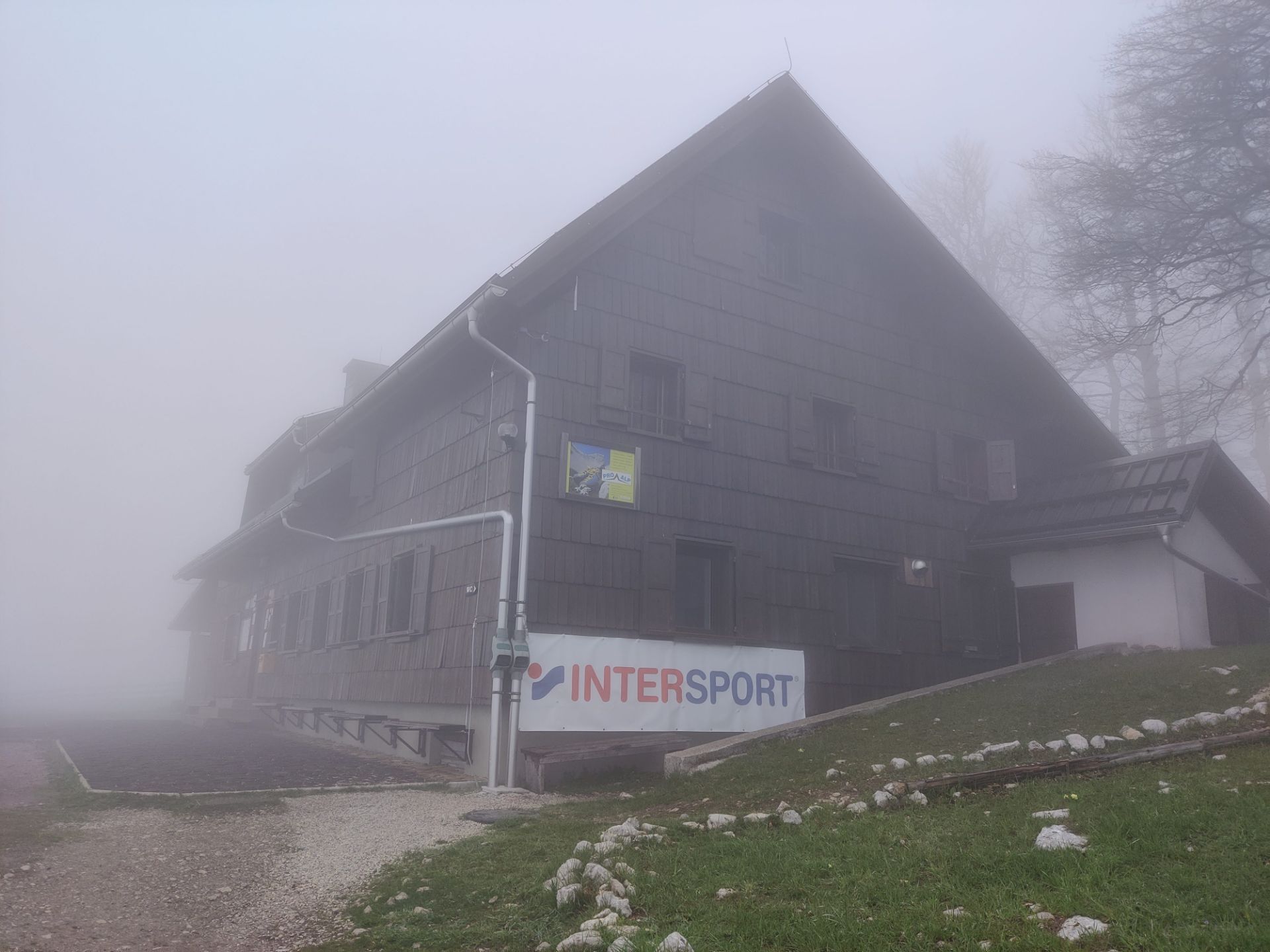
The goes through dense woods in the direction of east. It’s relatively steep and thus some caution is required. When you reach the altitude of 1500 meters the trail turns towards north and the vegetation becomes sparser. I can imagine you can get a really good view towards the south here. However, when I did this hike, it was completely foggy as you can see on the images. Therefore, I could barely see 10 meters in front of me. From here on, you only have 10 minutes of hiking left to reach the top. At the top you should also get a nice view towards the north and higher mountains in the Karawanks mountain range. When I reached the top, the fog persisted, and once again I was left without a nice view.
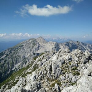
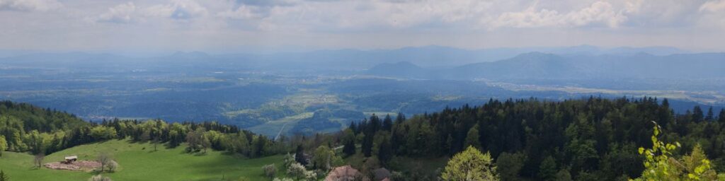
From Tolsti Vrh you then hike in the direction of west towards Kriska Gora mountain cabin. The trail runs along the ridge and should offer a splendid view both to the south and the north. After hiking for approximately 2.6 kilometers on this trail that is gently descending, you’ll reach the Kriska Gora mountain cabin. There you can buy drinks and warm meals from locally produced goods. The hut wasn’t opened yet in May. Typically, it’s opened from June to September, but you can get more precise opening times here.
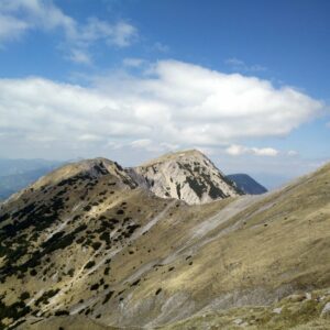
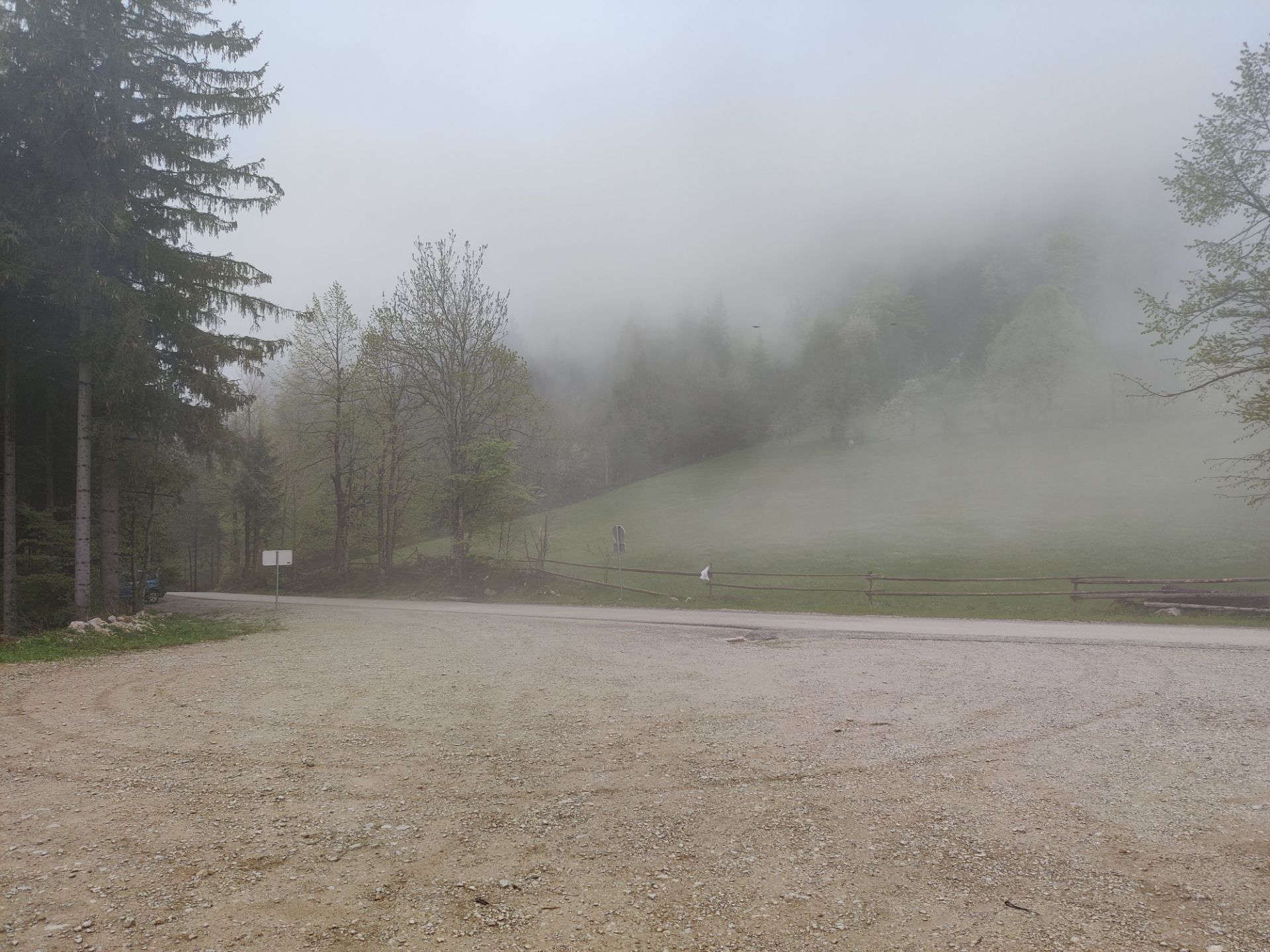
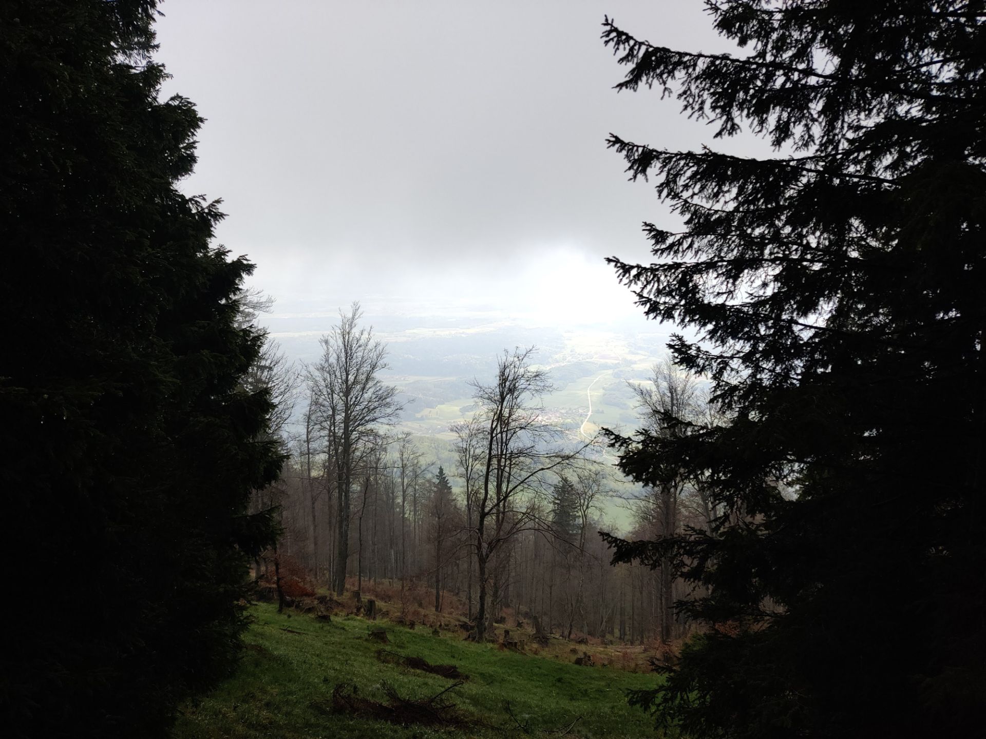
To descend back to the starting point, follow the direction signs for Gozd. The trail descends rapidly towards the south and after an hour’s hike or so, you’re back in the village. You’ll also have a nice view towards the south while you’re descending. By the time I was halfway down, the weather cleared out and I was surprised what a nice view I got towards the south.
Tolsti Vrh – Kriska Gora Trail: Parking place at Zavetisce v Gozdu
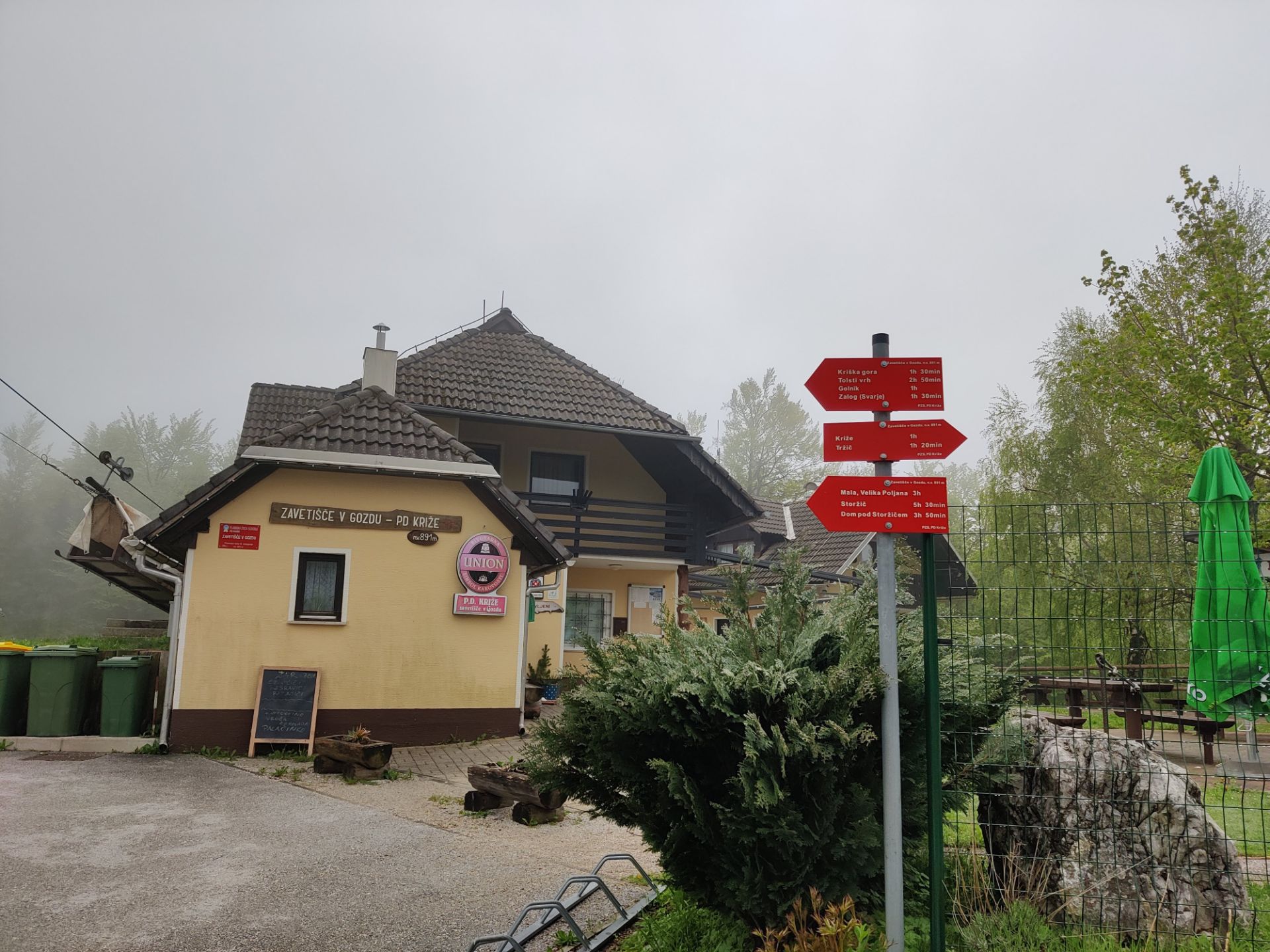
Tolsti Vrh – Kriska Gora Trail: Zavetisce v Gozdu and Directions Sign
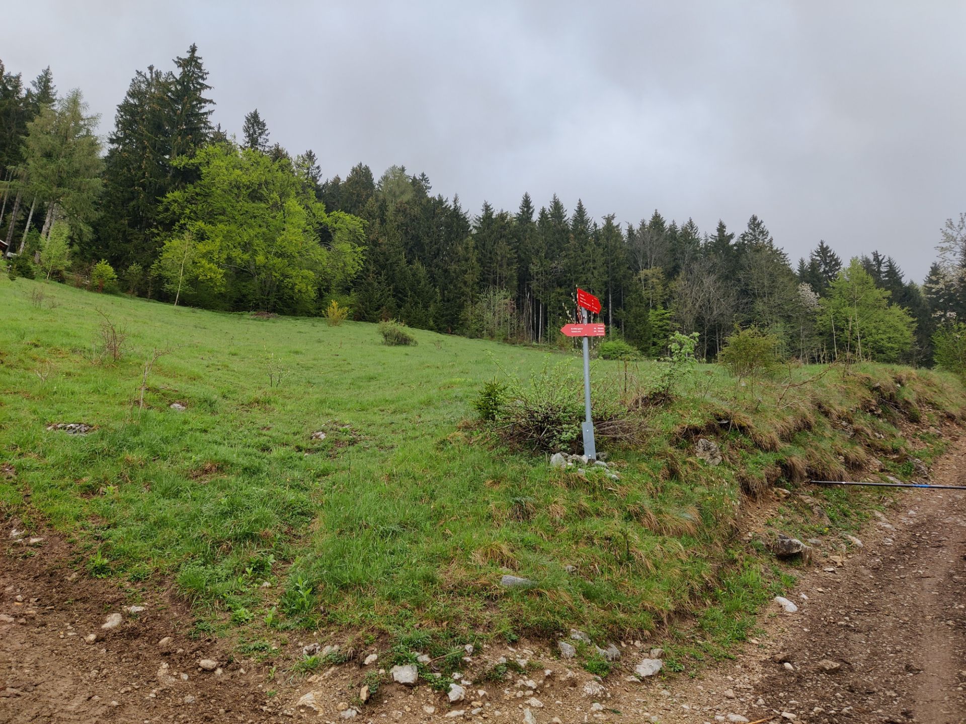
Tolsti Vrh – Kriska Gora Trail: Both trails go to Tolsti Vrh but the right on is shorter

Tolsti Vrh – Kriska Gora Trail: The top without view due to fog
Tolsti Vrh – Kriska Gora Trail: Kriska Gora Mountain Cabin
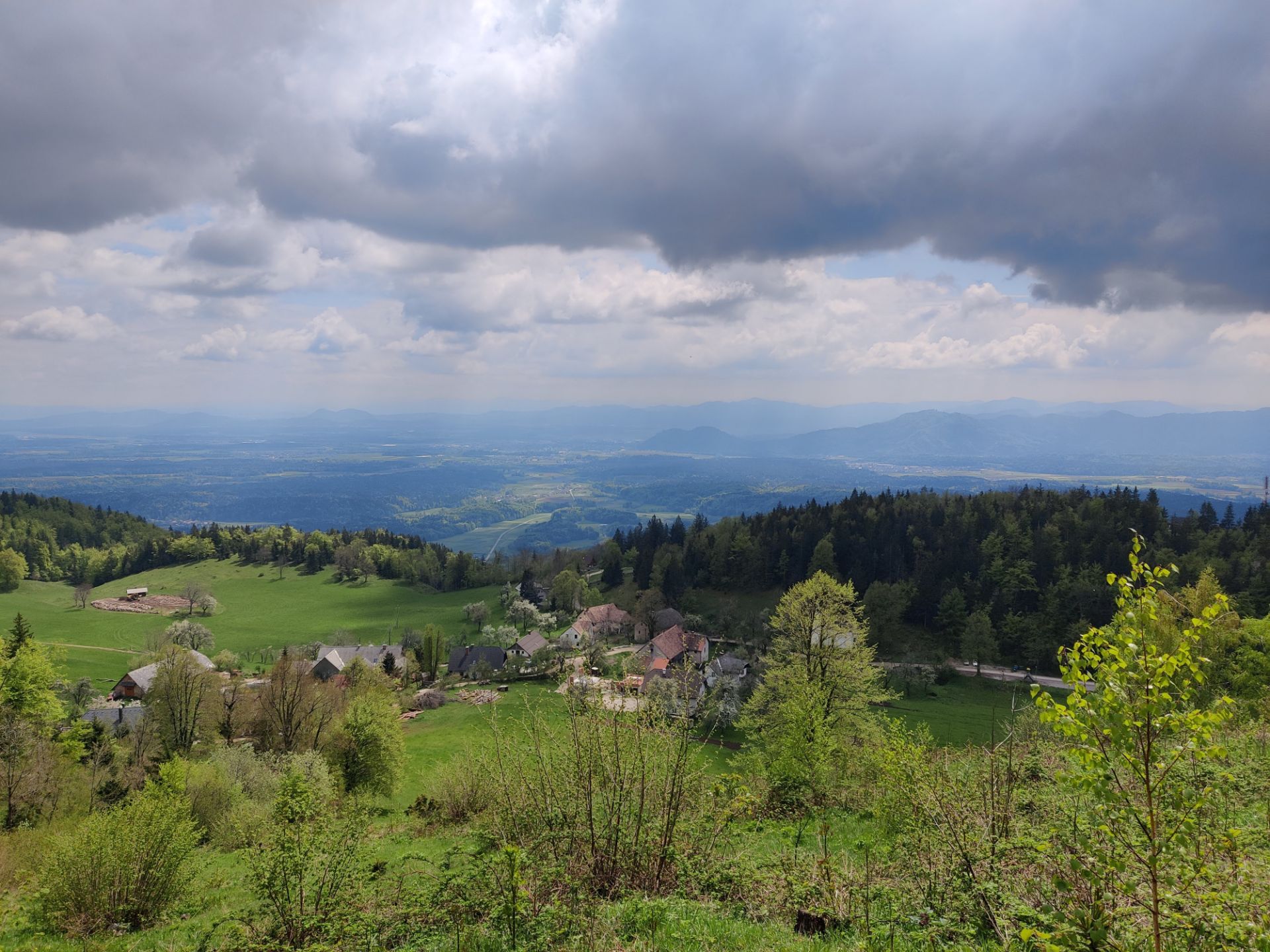
Tolsti Vrh – Kriska Gora Trail: View just before the village of Gozd
Equipment
On this hike I was wearing the Montane Terra Pack pants, Isobaa Long Sleeve Zip Neck, Cimalp Primaloft Jacket and Woolx hat. This was also the last hike for my 9 years old Salewa Mountain Trainer Mid hiking boots which by now lost all their cushioning and stability in the midsole. I carried snacks, water and Montane Minimus rain jacket in my Osprey Talon 22 daypack.
Equipment under scrutiny
Isobaa Long Sleeve Zip Neck
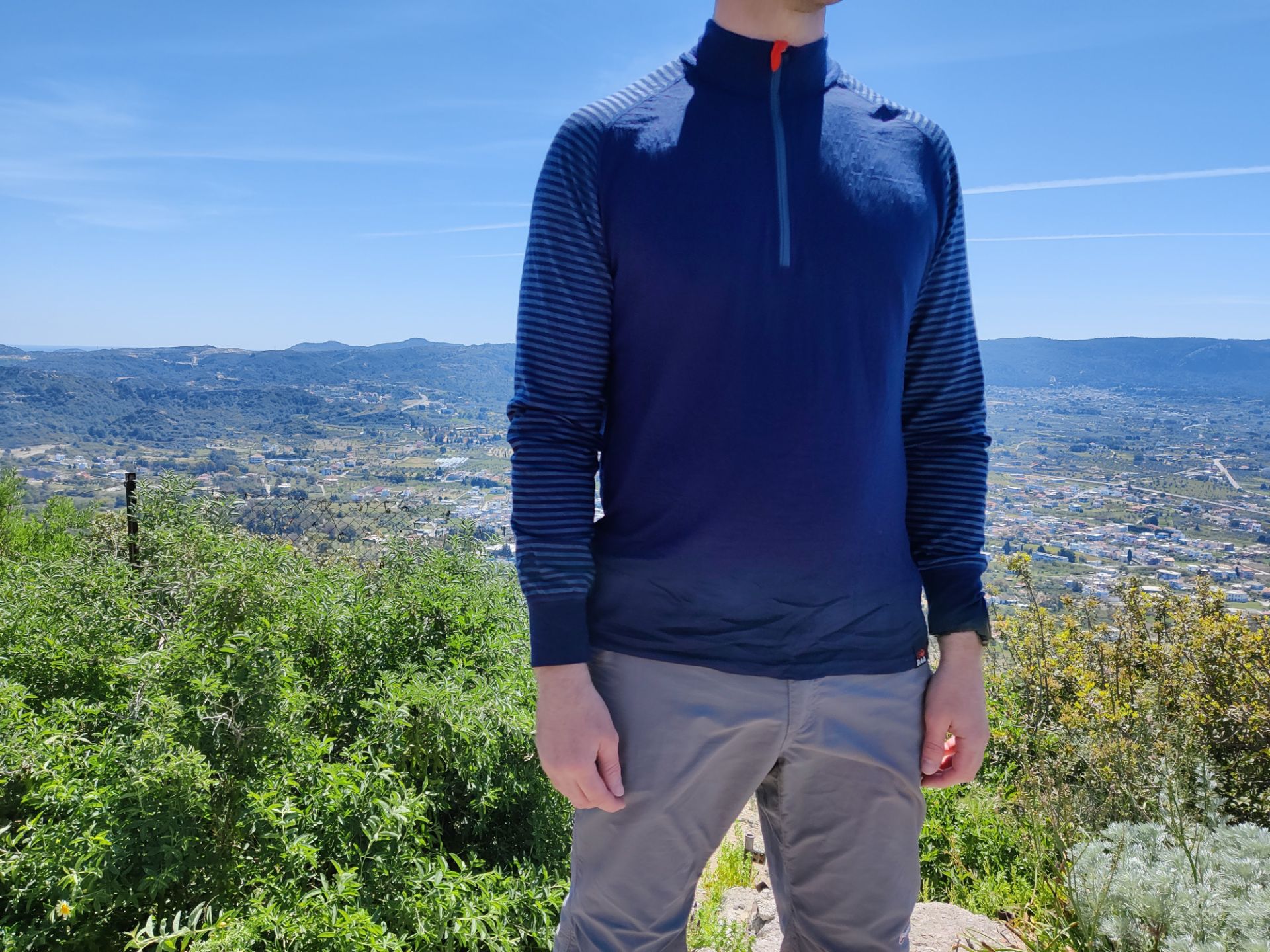
Isobaa Long Sleeve Zip Neck: The front side
The Isobaa Long Sleeve Zip Neck is made of 100% Merino wool and thus offers great temperature regulation, breathability and odor control. Since the Merino wool is high-quality, it’s also very comfortable to wear and doesn’t cause any itching. It’s a great base layer for winter, fall and spring. The material is not excessively thick and thus the base layer dries fast. I was really satisfied with it on this hike.

Conclusion and photo gallery
The hike to Tolsti Vrh and Kriska Gora offers a great experience with stunning panoramic views. The trail is well-marked and suitable for most hikers, although it does have some steep sections. As always, it is crucial to wear appropriate hiking footwear for stability and safety. I really enjoyed this hike. The only drawback I encountered during the hike was the persistent fog that obscured the views.

Tolsti Vrh - Kriska Gora Trail: Path after the village
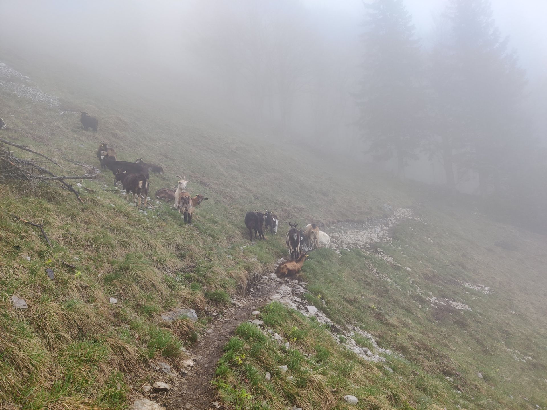
Tolsti Vrh - Kriska Gora Trail: Goats on the trail
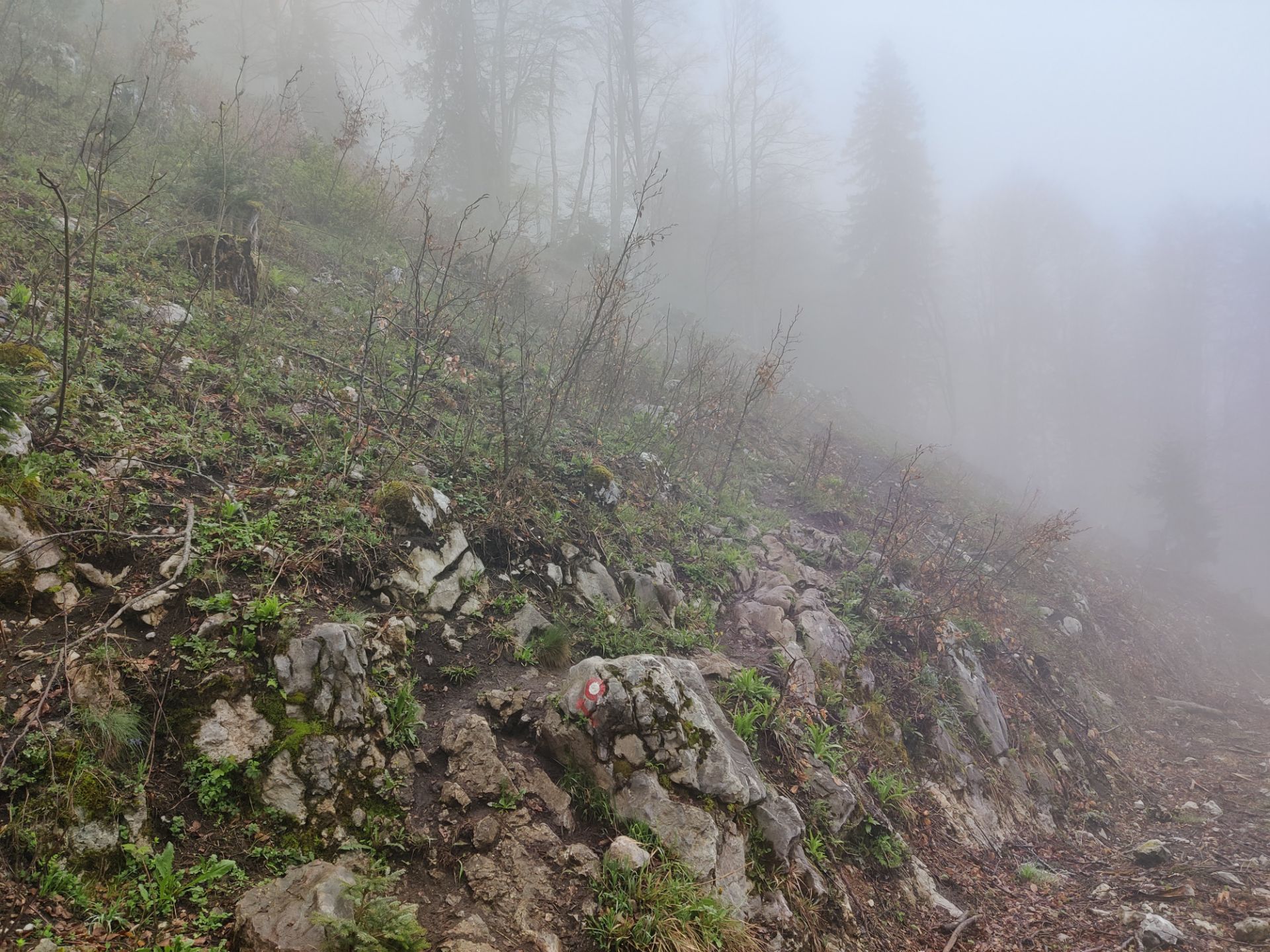
Tolsti Vrh - Kriska Gora Trail: Trail markers were useful in foggy weather
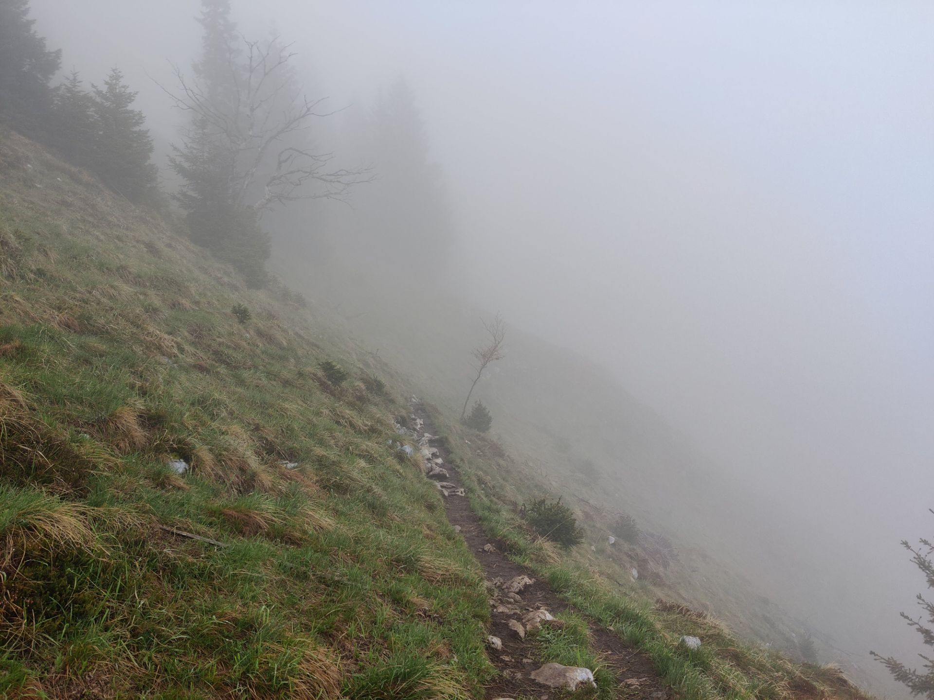
Tolsti Vrh - Kriska Gora Trail: With altitude the vegetation becomes sparser
Tolsti Vrh - Kriska Gora Trail: The trail from Kriska Gora to Gozd
Tolsti Vrh - Kriska Gora Trail: The weather got better during descend
If you have any questions about this hike, please drop me a line in the comments below.