Moesgaard Museum Trail
About Moesgaard Museum Trail
Moesgaard Museum is not just one of the best and most-visited museums in Denmark but also surrounded by beautiful nature in the form of bright state-owned forests and meadows. All in all, the Moesgaard estate covers 100 hectares of park, forest, fields and coast, which is traversed by paths for walking, horse-riding and mountain biking. We have previously made a hike around Moesgaard beach, but this time we made a circle trail around the museum’s fields and forest. Part of the trail follows the museum’s Prehistory Trail, namely the section where the visionary archaeologist P.V. Glob planned the landscape to look like it did in various periods of early human history in Denmark – such as the post-glacial swamp forest gradually developing into birch forest a few millennia later and so forth. Moesgaard Museum is located a few kilometers south of Denmark’s second-largest city Aarhus and thus easy to reach both by car and public transport. We of course recommend visiting the museum as well at some point, but keep in mind that it is bigger than it looks like and you might need several hours inside to see everything there.
Moesgaard Museum Trail Details
Physical Difficulty
Easy
Technical Difficulty
Easy
Duration
1h 35 min
Distance
6.88 km
(4.28 mi.)
Ascent
110 m
(361 ft.)
Descent
106 m
(348 ft.)
Highest Point
128 m
(420 ft.)
Lowest Point
33 m
(108 ft.)
Date of the Hike Date when we did this hike ?
March 2019
Weather On the day when we did this hike ?
Mostly Sunny
Temperature On the day when we did this hike ?
6° C
(43° F)
Wind On the day when we did this hike ?
20 km/h
Moesgaard Museum GPS Route and Trail Description
*Click on the chart to see the location on the map
GPX route helps you with the navigation on a hike. It can be used with a smartphone, handheld GPS device or a GPS watch.About GPX Route
Reaching the starting point
The trail starts at the big parking place just below the hill of the museum, about 8 kilometers from the center of Aarhus. Just across the road from the parking lot, there is a picturesque little bus station with a building from the late 19th century. Here, city bus number 18 has its end station and thus you can easily reach the starting point by public transport by taking bus 18 in the direction of ‘Moesgaard Museum’ from anywhere in the Aarhus area. In any case, you can find the best way of travel on any given date and time on the Danish travel planning website Rejseplanen. There you can also see an estimated price (currently 22 DKK/3 EUR). If you are coming by car, you should drive along country road number 451 called Oddervej which runs south of Aarhus. About 7 kilometers from the center of Aarhus, you turn towards east on the road called Moesgaard Alle (note that the speed limit is only 40 km/h here) and drive straight-ahead for about a kilometer. When you will see the little bus station with the prominent museum building behind it, you will have the big parking place to your right, and you enter it just across from the bus station. You can park your car here free of charge. Do not try to approach the museum in a normal-sized car along the road Ny Moesgaard Alle, running parallel to Oddervej – this road is for buses, trucks and other large vehicles and has several bus traps installed to make it impossible for smaller vehicles to pass (undamaged).
Trail
Once on the parking lot, you start walking towards the western end of it, which is lined with old tall trees. Along the other side of this tree line runs a dirt road heading south. It is as such a continuation of the paved road Ny Moesgaard Alle, but is unnamed and not suitable for vehicles besides tractors. For the first half a kilometer the dirt road is lined by old trees and shrubbery, after that it runs between two fields. After about another half a kilometer, the dirt road runs into a narrow turn of a paved road; you continue straight ahead towards south, so you cross over the small bridge over the Giber creek. Here, the small village called Fulden begins.
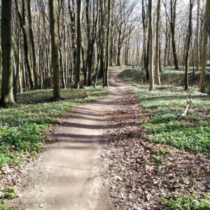
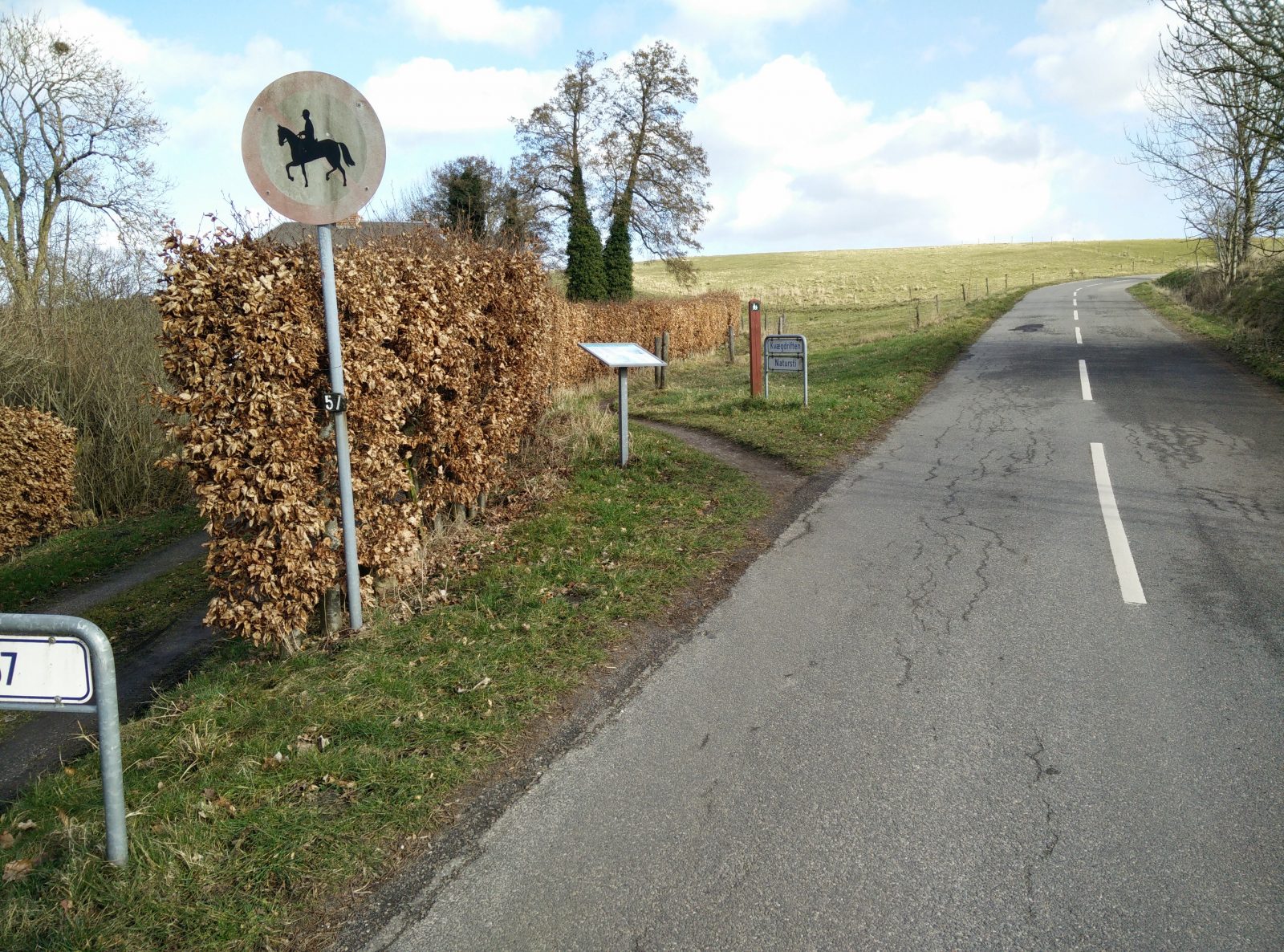
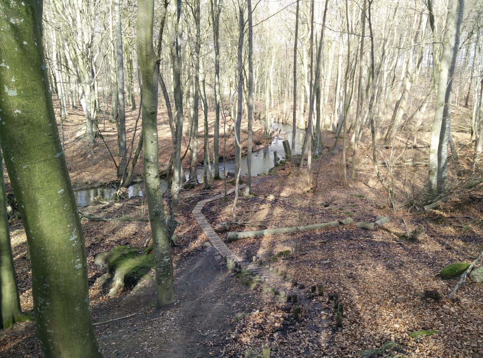
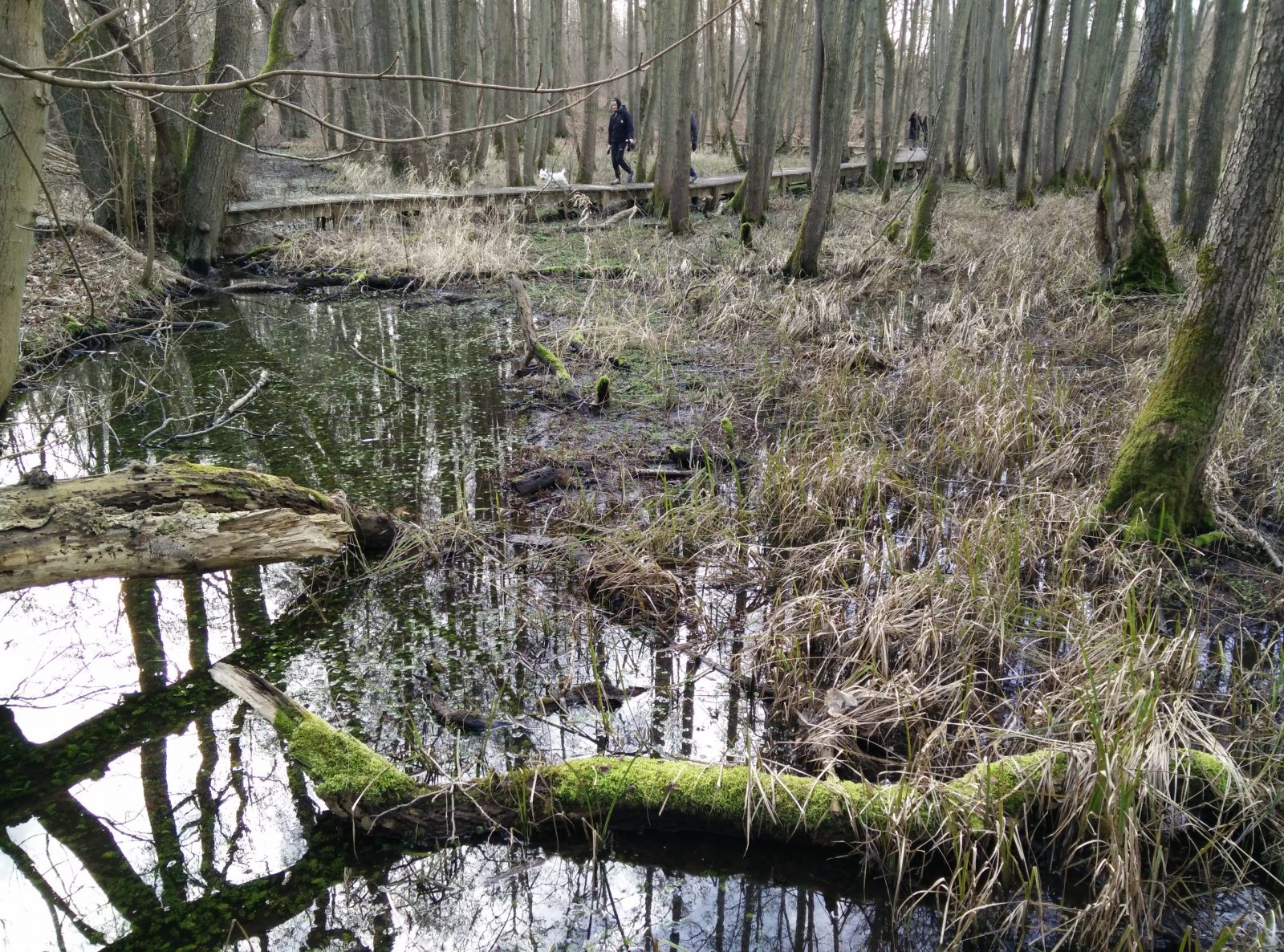
It’s notorious for its many houses from the second half of the 19th century and you will see many houses thatched with straw in the old-fashioned way, which is a still rarer sight in Denmark. After walking a few hundred meters into the village you will come to a crossroads where you should turn left, following the signs towards Fløjstrup and Moesgaard. You will follow this paved road for about half a kilometer till you see a path to your left marked with the signs “Kvægdriften” and “Natursti”, indicating the old cattle route which is now a nature path. You take the path and follow it for a couple of hundred meters till you on your left have a sign pointing towards “Fodsti langs åen” (“Pedestrian path along the creek”). As you take this path, you will approach the Giber creek once again and fortunately, as the ground gets wetter and softer wooden pedestrian bridges have been established to keep your feet dry. You follow this path till you reach a crossroads of paths and continue straight ahead, following the white-painted rocks with red circles (see image). You are now on the museum’s Prehistory Trail which besides reconstructed prehistoric human dwellings and buildings further along the trail (we skipped that part) offers a view into how the typical Danish forest looked like in the first millennia of the Holocene period. Through the early swamp forest there has been established a meandering wooden bridge for pedestrians which eventually turns into a normal dirt path as the forest changes to a more open and light birch-pine forest (corresponding to the period 9000-7500 BC). Along the way you will be able to read more on various informational sign boards in Danish and English.
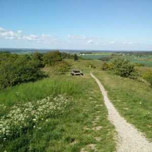
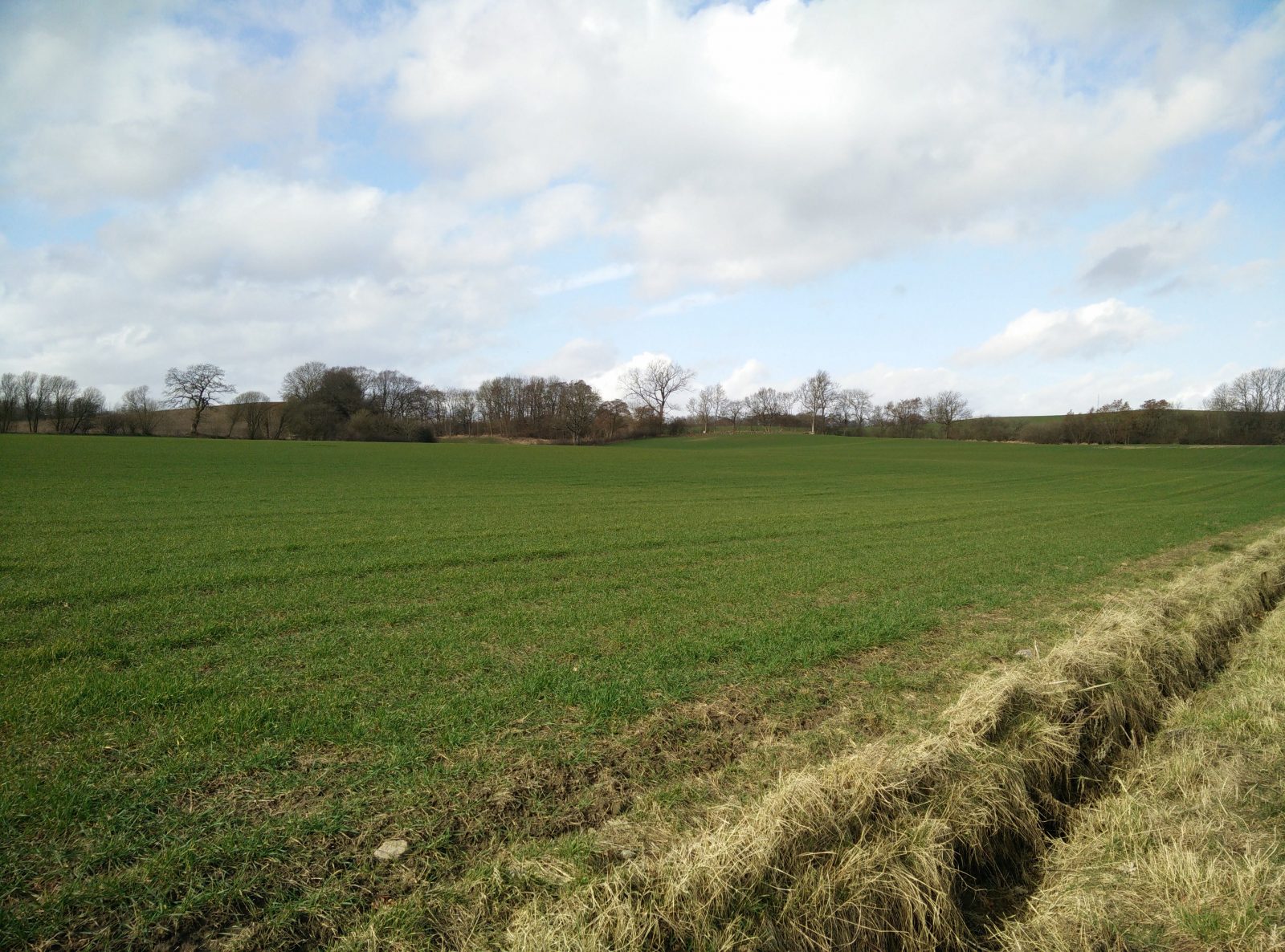
After walking almost three kilometers altogether you will cross over two paved roads, but traffic here is very light and by following the white-painted rocks you will stay on the right way. That is, until the path divides into two in a neat-looking fork. Here you should take the path to the left and thus leave the Prehistory Trail. From here on hike towards north until you come close to an asphalt road. Here the path will lead you parallel to the road for a while in the direction of south-west. Then the path will cross the road and turn towards north. On your left you will see the Moesgaard museum. The path will soon turn towards west and come very close to another asphalt road. Here take the path towards south which will lead you to the Moesgaard Museum.
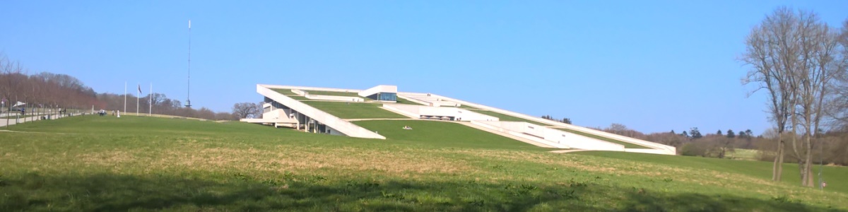
The attached GPS trail ends at the entrance to the museum. We recommend that you finish the hike off by climbing to the top of the museum roof and enjoy the view over the Kattegat Sea. The architecture of the building is inspired by H.C. Andersen’s fairy tale “The Elf Mound” where it is described how the top of the mound is elevated and supported by “glowing poles”. After having enjoyed the view, you can go to the museum café and get coffee and cake for a reasonable price. For a proper meal (lunch) you will pay a quite high price. In any case, you can use the museum toilets for free and fill up any water bottles if you’re thirsty.
Getting back to the starting point
Once you are done at the museum, you simply walk the couple hundred meters down to the parking lot where you parked your car or take bus 18 back to the center of Aarhus.
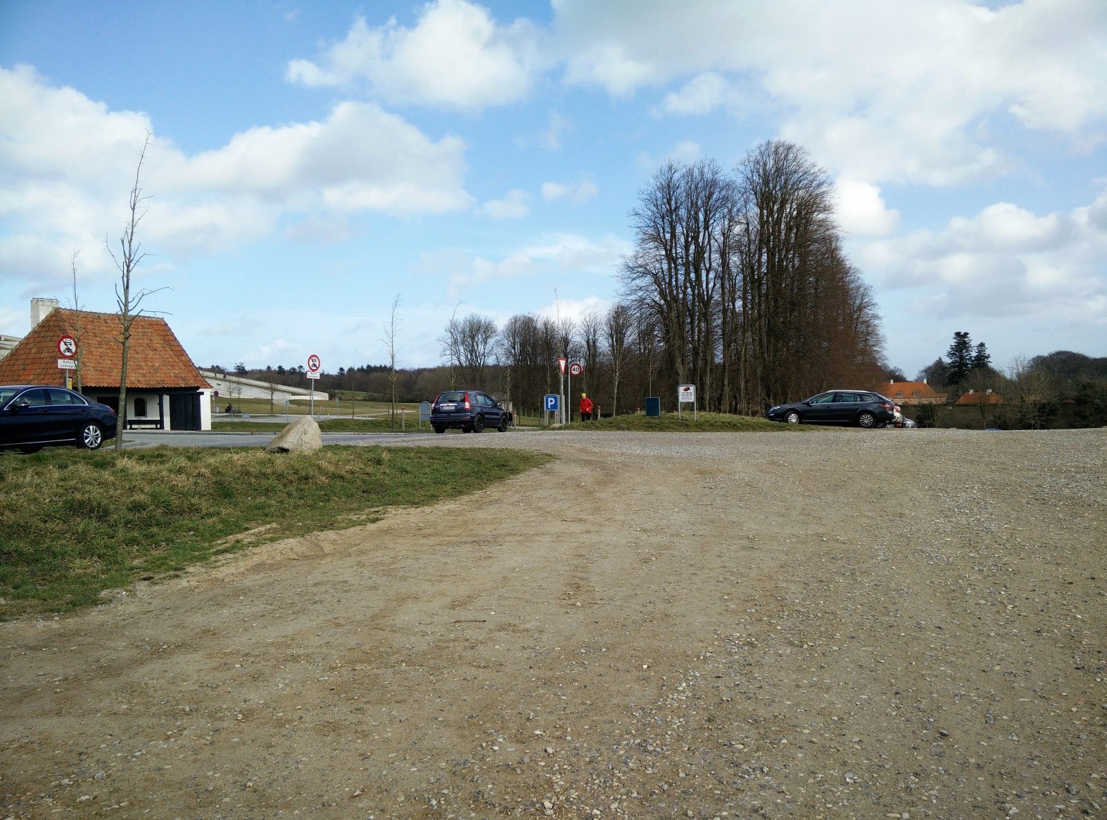
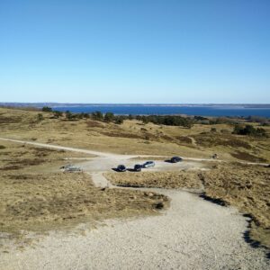
Moesgaard Museum Trail – Parking Lot
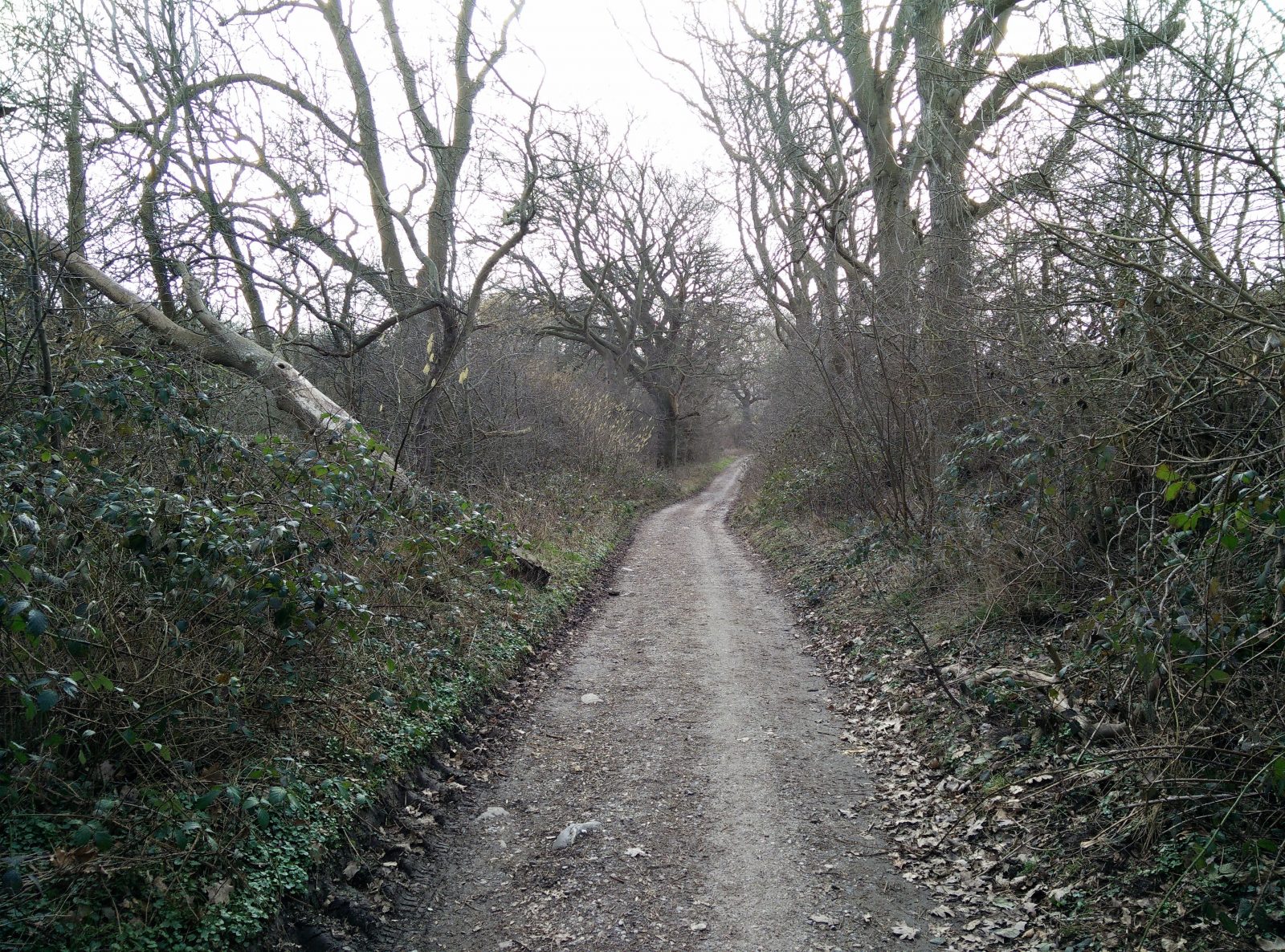
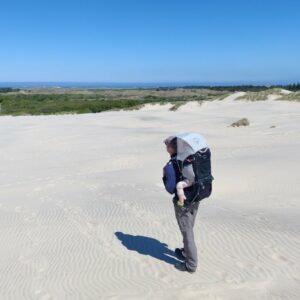
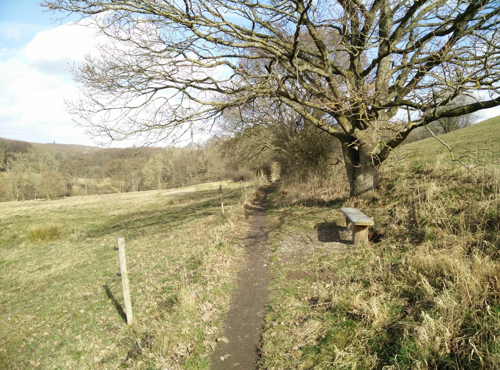
Moesgaard Museum Trail – Path
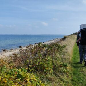
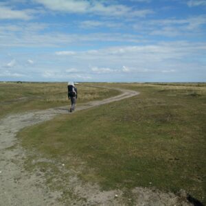
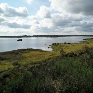
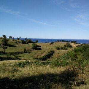
Moesgaard Museum Trail – View
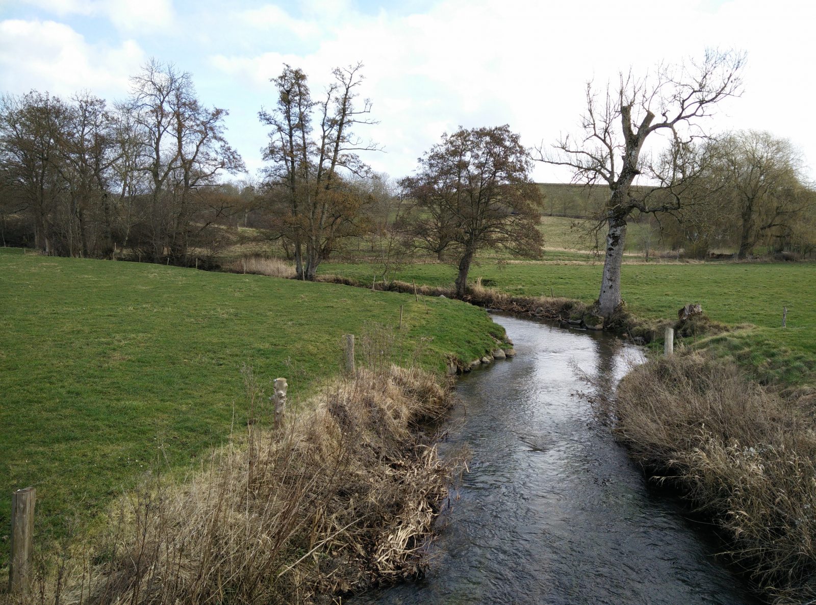
Moesgaard Museum Trail – Creek
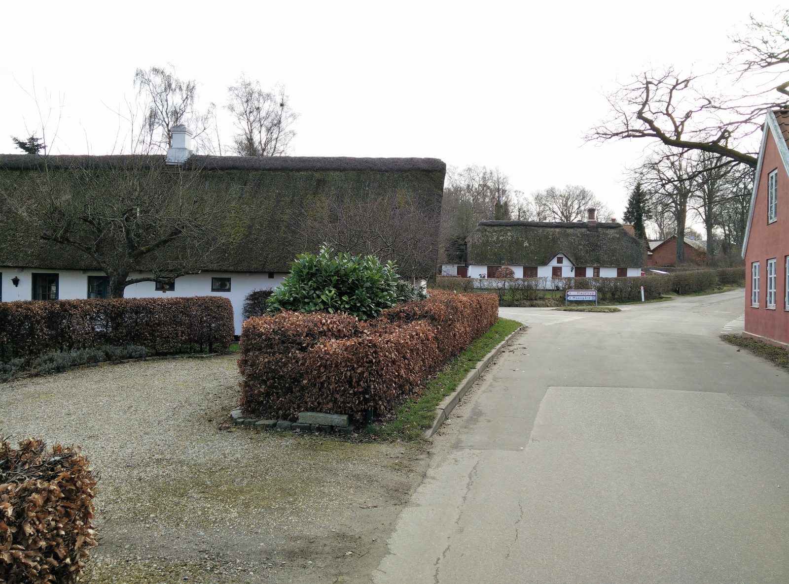
Moesgaard Museum Trail – Village of Fulden
Moesgaard Museum Trail – Back on the dirt track
Moesgaard Museum Trail – Woods
Moesgaard Museum Trail – Swamp

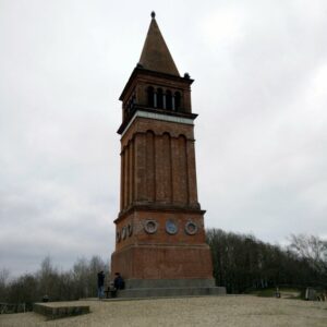
Moesgaard Museum
Equipment
As the weather was still slightly chilly, I wore my Asics tank top and a long-sleeved Merino base layer under a down jacket as well as CimAlp Quebec soft shell pants. In my hiking shoes I was wearing the SoleStar Hiking Insoles which I was so fortunate to receive.
Equipment under scrutiny
CimAlp Quebec Softshell Pants
CimAlp Quebec Softshell Pants
I received the CimAlp Quebec softshell pants in the end of February and have been eager to test them. What I like about them is that they are super warm while providing good freedom of movement. With that being said, I think this hike is the last time I will be able to test them before fall as they are very warm, being lined with brushed fleece. You can read the full review of the CimAlp Quebec softshell pants here.
Where to buy?

Solestar Hiking Insoles
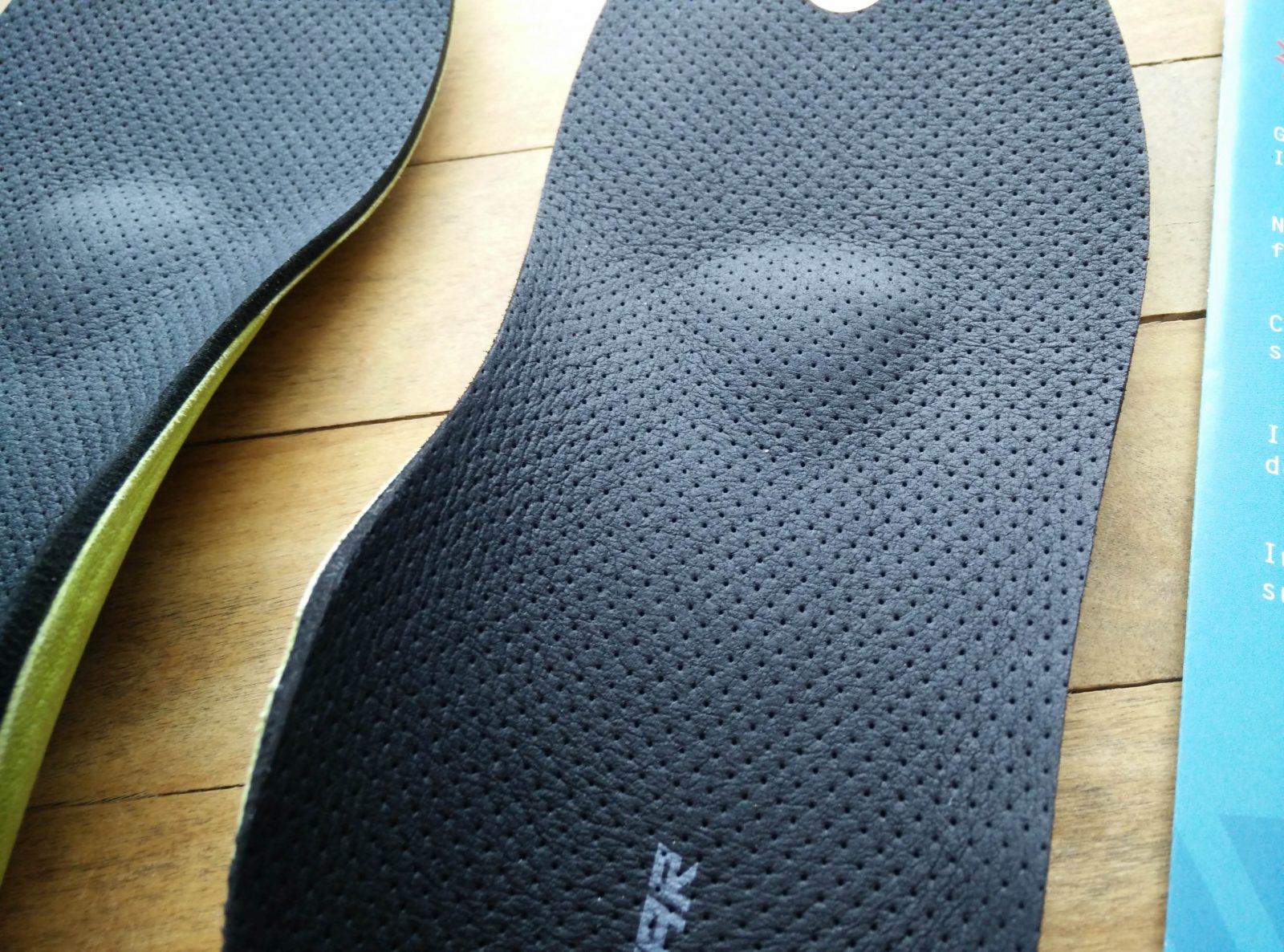
Solestar Hiking Insoles
The past couple of years I have started to have problems with my feet whenever I walk a lot – probably due to wearing so bad/unsupportive footwear in my twenties. This is especially the case when wearing everyday sneakers with little support as I’m not ready to start wearing orthopaedic shoes. However, Solestar hiking insoles have really changed things around for me as they provide the support and suspension which my normal shoes don’t provide. Even the comfort of my hiking shoes is significantly improved when I move the insoles from one pair to another. I highly recommend purchasing this product or something similar if you could use a bit of extra support/comfort. You can read the full review of the insoles here.

Conclusion and photo gallery
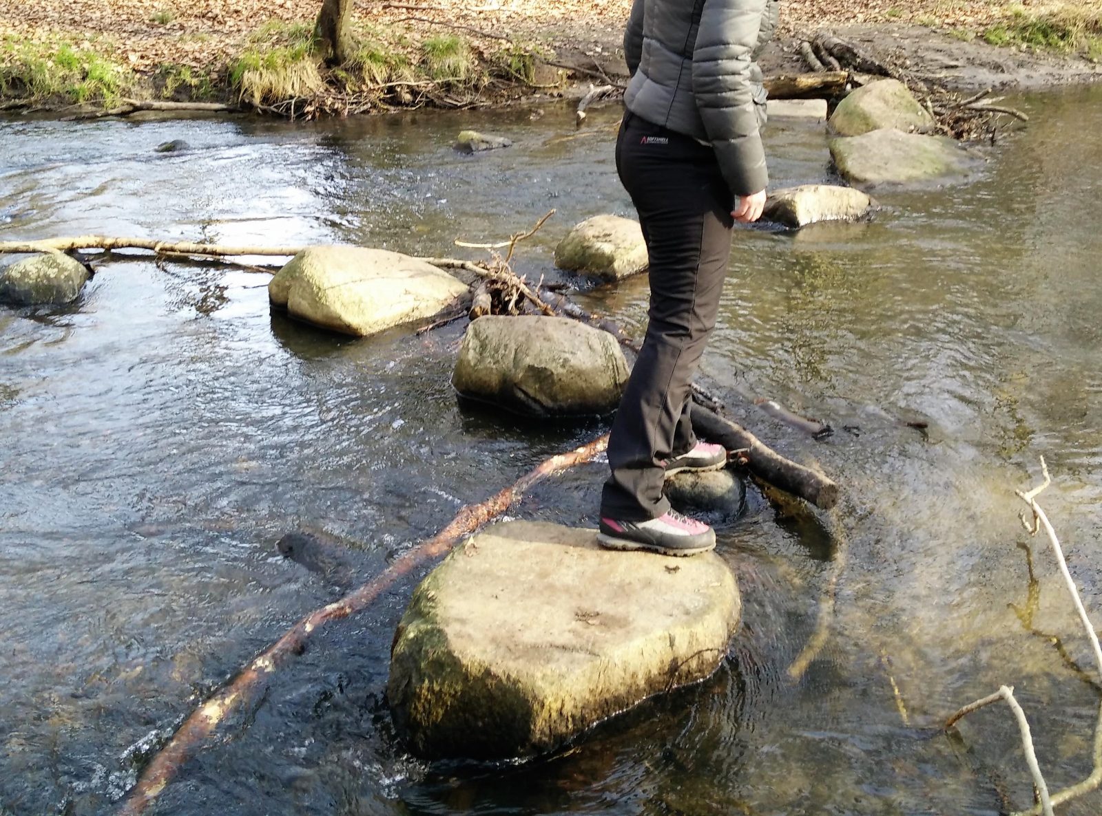
The Moesgaard Museum Trail is an easy and interesting trail for everyone with a remote interest in history – both human and natural. In general, the path has been equipped with wooden pedestrian bridges where the terrain is boggy, but since we ventured out on a day preceded by heavy rainfalls there were a few places where we have to balance on stones etc. to keep our feet from getting wet and muddy. Therefore, bring proper (perhaps waterproof) footwear which you don’t mind getting dirty.
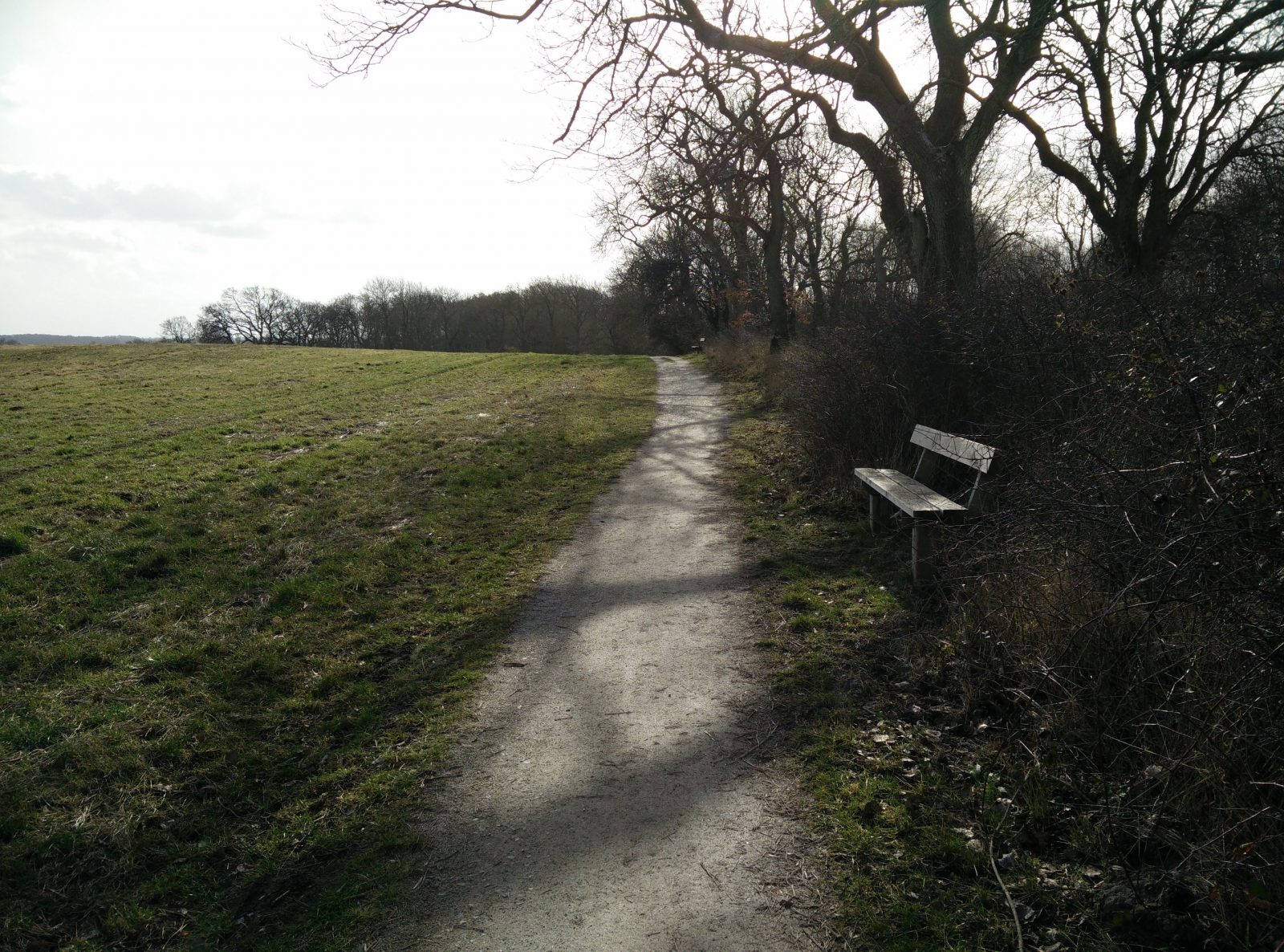
Moesgaard Museum Trail - Narrow path
Moesgaard Museum Trail - Towards the museum
Moesgaard Museum Trail - Creek
If you have any questions about this hike, please drop us a line in the comments below.