Agri Bavnehøj hiking trail
About the Agri Bavnehøj Trail
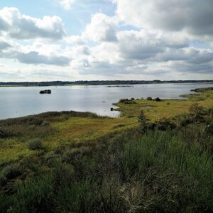
Denmark has five national parks, which each represent a certain aspect of special Danish nature. Mols Bjerge National Park represents how the Danish landscape was created in the Ice Age, and is as the name implies (‘Bjerge’ mean ‘mountains’) more hilly than most other places in Denmark. It has been more than two years since we last recorded a hike in Mols Bjerge (the Trehøje trail), so we thought it was time to make another one. This hiking trail runs a bit north of the previous one, but the two trails only overlap for a few hundred meters around Høvelshøj. The highest point of this trail (and indeed the entire national park) is Agri Bavnehøj, which it is also named after. ‘Bavnehøj’ means beacon hill; signaling via lighting beacons on hilltops has been used in Denmark from the Medieval Period to the 19th century. We made it to an approximately 10km long round trip, but you can also shorten the route and go more directly to Agri Bavnehøj. The trail is suitable for all ages, but do remember decent footwear and a wind- and/or water-proof jacket as the very least of equipment. You will be crossing through livestock enclosure, which may or may not feature grazing animals, so do make sure that your dog is on a leash and well-behaved, if you decide to bring it along.
Agri Bavnehøj Trail Details
Physical Difficulty
Easy
Technical Difficulty
Easy
Duration
3 h 55 min
Distance
10.38 km
(6.45 mi.)
Ascent
215 m
(705 ft.)
Descent
205 m
(673 ft.)
Highest Point
131 m
(430 ft.)
Lowest Point
10 m
(33 ft.)
Date of the Hike Date when we did this hike ?
May 2020
Weather On the day when we did this hike ?
Mostly Sunny
Temperature On the day when we did this hike ?
18° C
(64° F)
Wind On the day when we did this hike ?
10 km/h
Agri Bavnehøj GPS Route and Trail Description
*Click on the chart to see the location on the map
GPX route helps you with the navigation on a hike. It can be used with a smartphone, handheld GPS device or a GPS watch.About GPX Route
Reaching the starting point
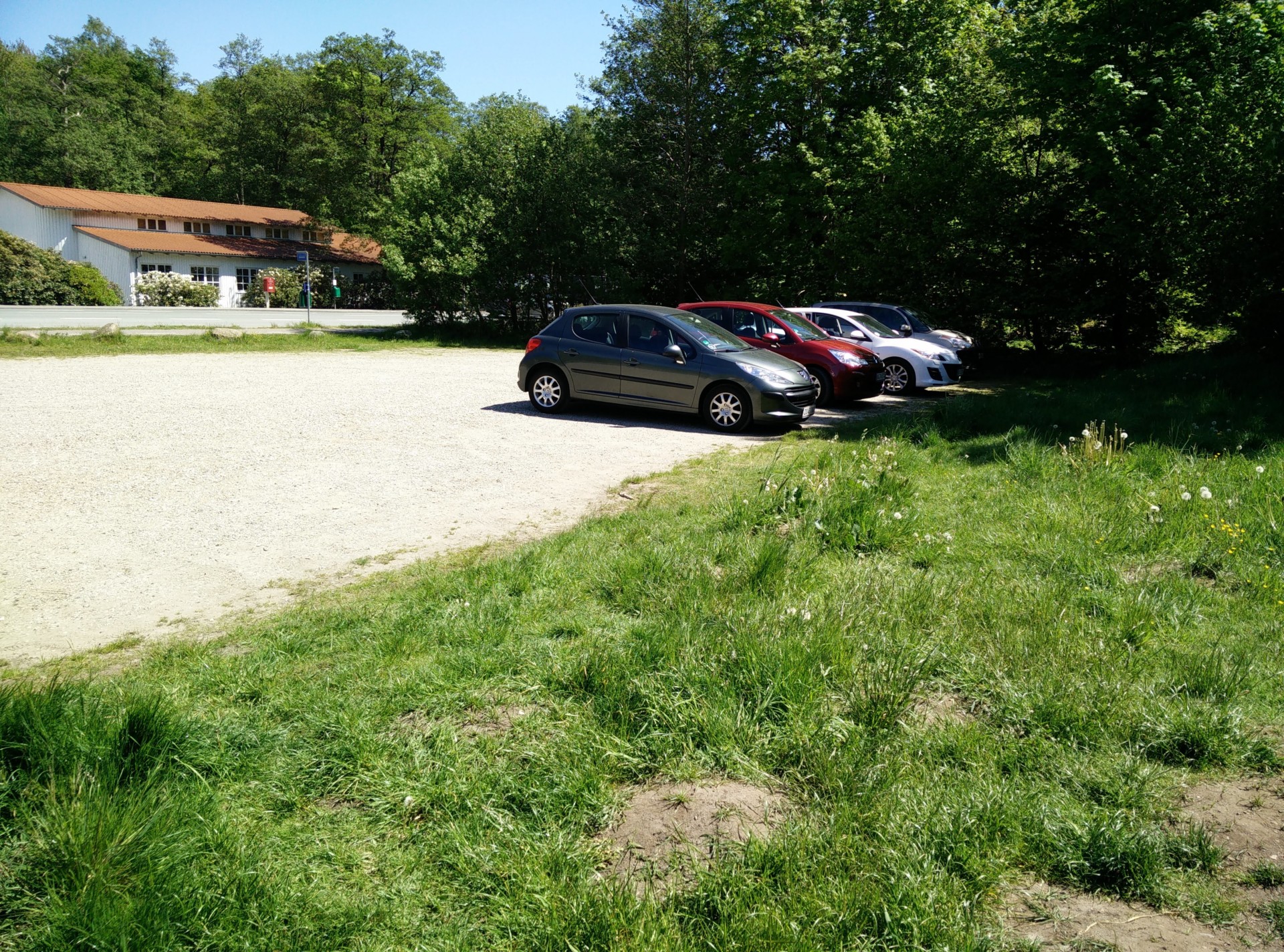
The trail starts at the parking lot across from Femmøller Efterskole (which is an alternative boarding school for pupils aged 14-17) at the address Molsvej 137, 8400 Ebeltoft. You can park your car here free of charge, although you might find it to be full a few times a year when the boarding school hosts events for parents or visitors – the last Sunday in September every year is such a day. You come to the parking lot by heading to the small town Rønde, either following national road (‘hovedvej’) 15 or 21 in the eastern part of Jutland. Take the appropriate exit to Rønde, and follow the main road going through town until you reach the T-crossing with Molsvej. You then follow Molsvej for a bit more than 10 km until you reach the boarding school and the parking lot across from it. You can also reach the starting point by public transport as bus number 123 from Aarhus bus station stops just outside the boarding school. Plan your trip by using rejseplanen.dk.
Trail
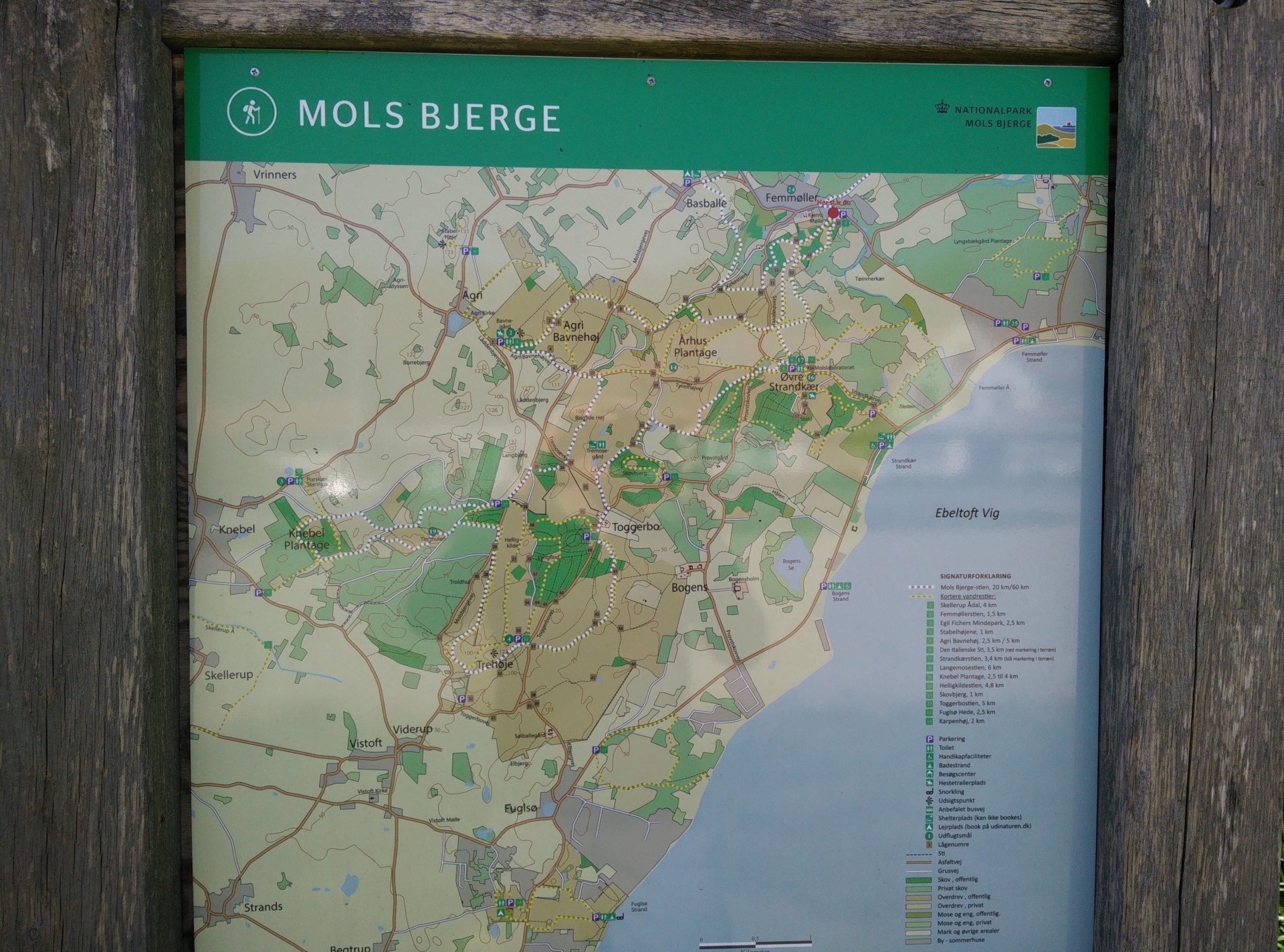
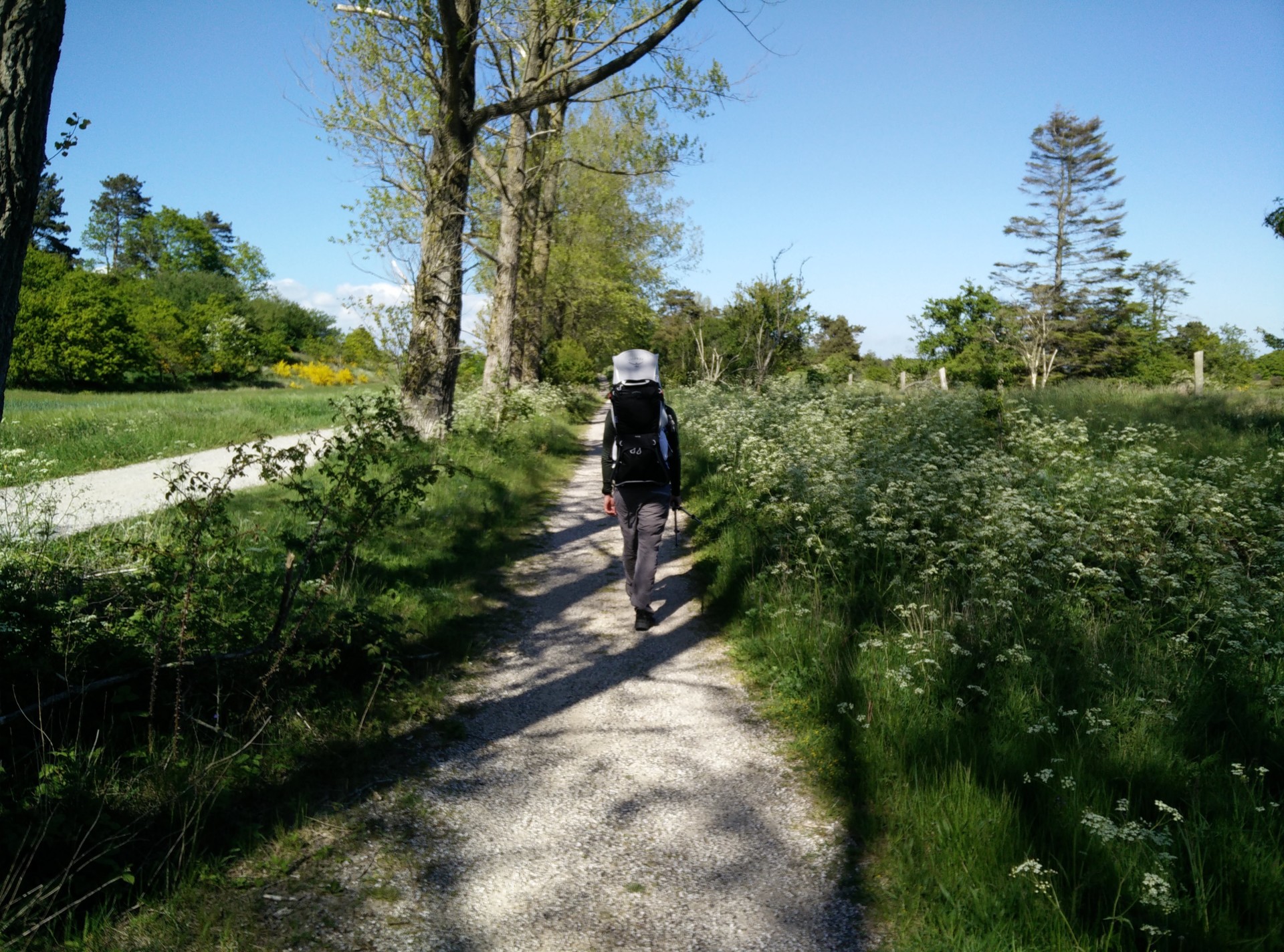
At the parking lot you will find benches as well as a table with a map of the national park and its official hiking routes – the Mols Bjerge route (20/60km – marked with white dots) and numerous shorter trails (marked with yellow dots) and pathways. Along the marked routes on the map, you will see small beige boxes with numbers inside. These numbers indicate the numbered gates of the various livestock enclosures you will enter and exit on your way, and can thus be helpful for navigation along the way (I will be referring to them and the map in the following). Our trail is, however, not marked as one separate trail so the best is that you download the GPX trail above and use your hiking watch, GPS device or phone to navigate with.
From the parking lot you follow the path up the hill towards southwest, entering gate 15, and for approximately a kilometer you are walking uphill through more or less forested terrain. The forest then gives way to more windswept grassy plains, and you soon after reach gate 50 as the trail intersects with the dirt road called Stenhøjevej. From here you take the unmarked, but very well-trodden path further southwest to reach gate 49 after having walked 1.5 kilometer altogether. Then you follow the Mols Bjerge route for 500 meters towards west, until you reach the path to Karpenhøj which runs southwest. After passing Karpenhøj the path intersects with a dirt road. The intersection is also where the two dirt roads Tyvelhøjvej and Agri Bavnehøjvej meet up; the latter runs west, while the former takes a sharp turn towards southwest. If you want to shorten the hike and get to Agri Bavnehøj as soon as possible, you should follow Agri Bavnehøjvej, but we wanted to reach the Tremosegård shelter for a lunch break so we continued southwest.
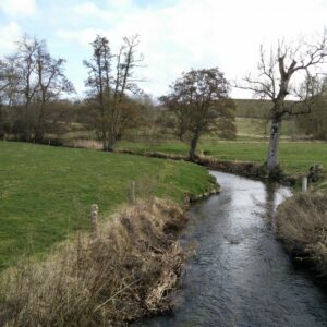
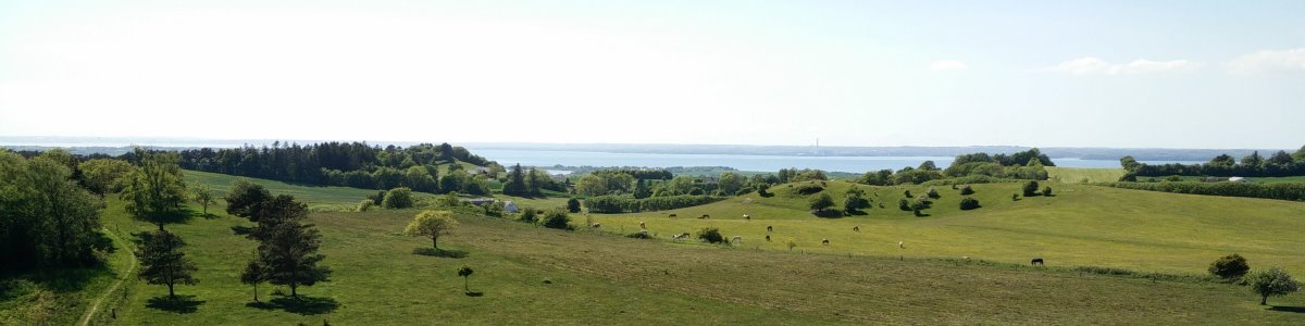
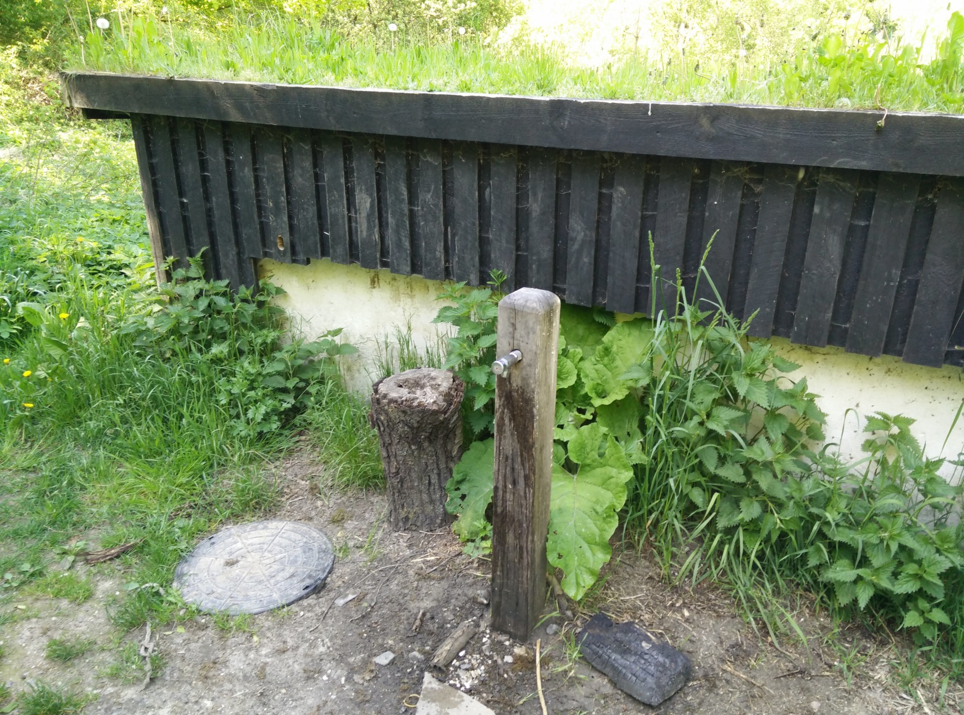
After walking a bit more than 3.5 kilometers, you reach Tremosegård which features a shelter for spending the night down in small valley along with benches and a water post with drinking water up on the small hill behind the shelter. Unfortunately, there was already a group lunching there, so we merely refilled our water bottles and decided to push on towards Agri Bavnehøj since our daughter was fast asleep in the backpack. Then we followed Tyvelhøjvej further south for a few hundred meters more until it ends and meets Tremosevej, which is also a narrow dirt road. You then follow Tremosevej for 500 meters towards northwest until it reaches Mols Bjergevej which is a wide dirt road with a separate dirt path for pedestrians running parallel to it. There were only few cars rolling by at a very slow speed, but we stayed on the dirt path, nevertheless. You follow Mols Bjergevej towards north/northwest until you have walked approximately 5.5 km altogether; here the dirt road intersects with Agri Bavnehøjvej and you will see Agri Bavnehøj ahead of you.
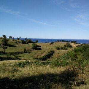
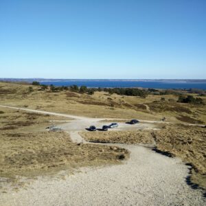
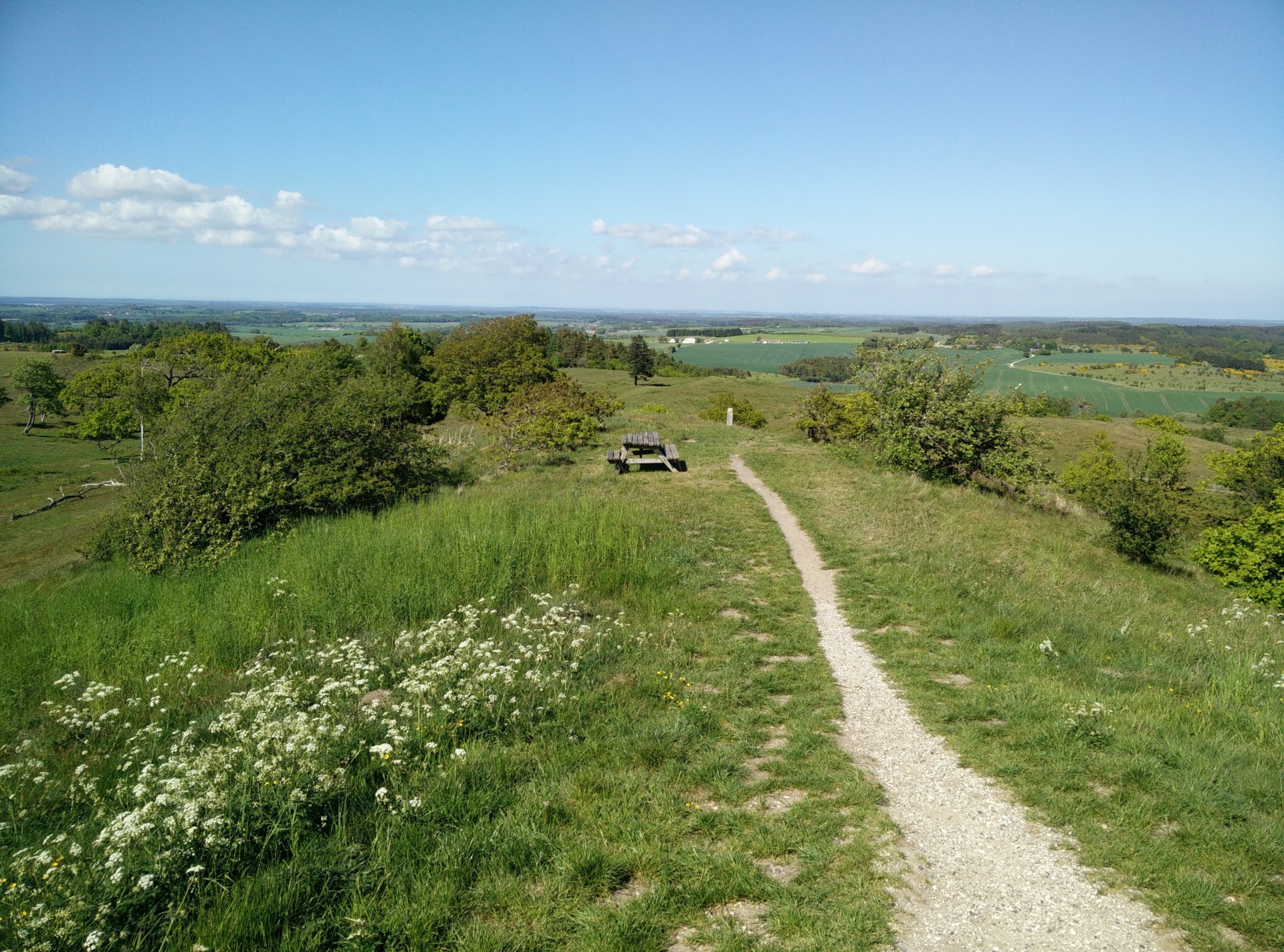
To reach the top of the hill, you have to enter the enclosure it is in – the gate is number 5. Both in- and outside the enclosure you will find benches for resting and having a snack. Once inside, there are a few well-trodden paths to the top of Agri Bavnehøj from which you have a great view of the surroundings as it is the highest point of the entire national park. Besides the magnificent moraine formations of the hills of Mols Bjerge, you can see the Kattegat sea and, in clear weather, all the way to Samsø. The hill was, however, quite windswept when we were there, so we decided to have our lunch on a bench just outside the enclosure of the hill. Here, there are also tables where you can read (in Danish) about Agri Bavnehøj being used twice as an airdrop zone for the Allies supplying the Danish Resistance movement with weapons, explosives etc. in the last years of Second World War.
Getting back to the starting point
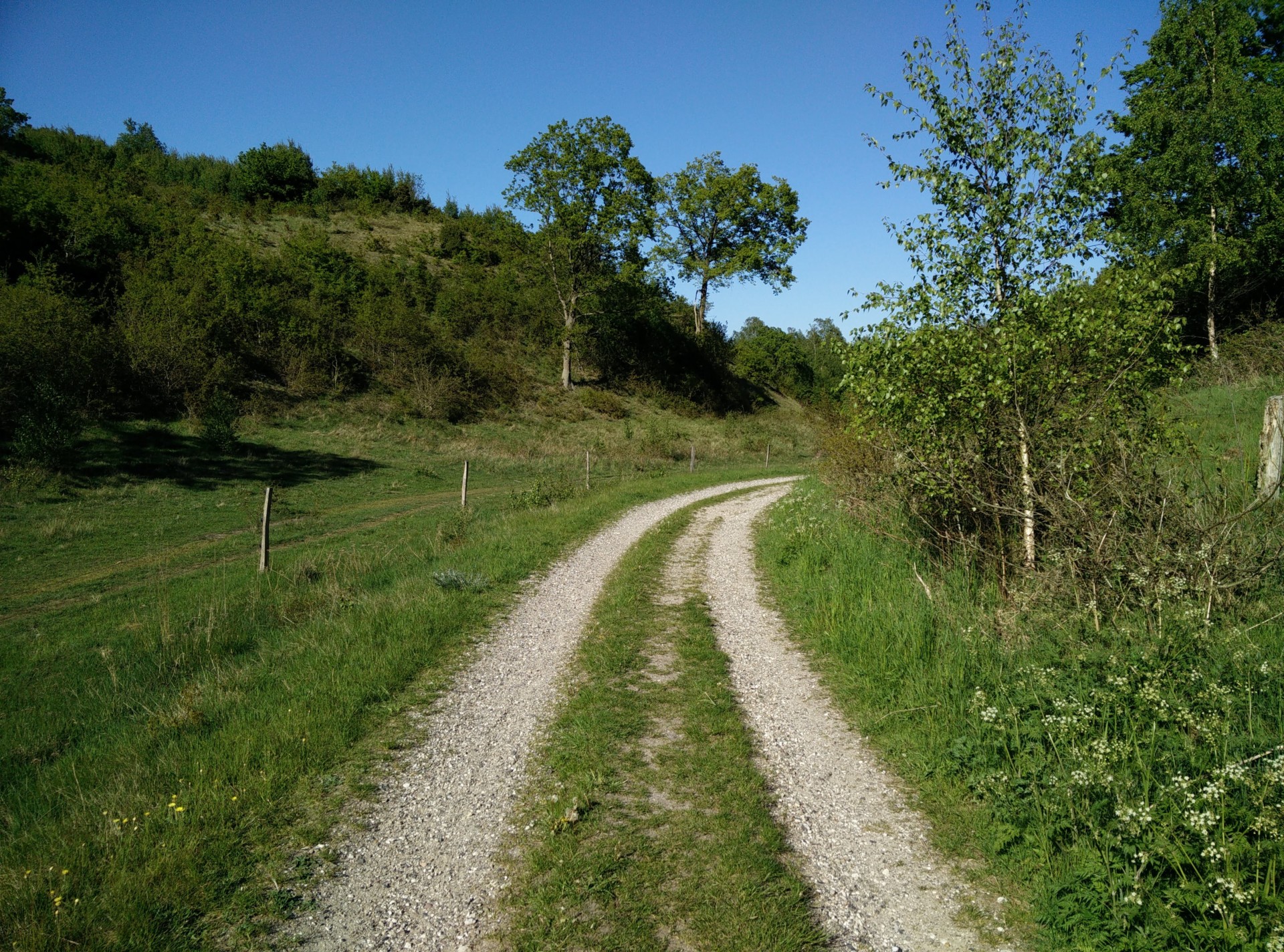
For returning back, we first went 150 meters along Agri Bavnehøjvej towards east and then followed a gravel forest road up towards northeast. You can, however, also just follow Agri Bavnehøjvej back to where it intersects with Tyvelhøjvej, and follow the narrow path back towards north but we wanted to take a slightly different route. We thus followed the gravel road, which runs between two ridges, for about 900 meters until we saw a gate at the fence running below the eastern ridge, and decided to ascend the low ridge to come to the plateau above. We crossed over the plateau, heading northeast, until we came to the narrow path that leads up to gate 49. From there, we took the same route back as described above.
Agri Bavnehøj trail – parking lot across from school
Agri Bavnehøj trail – map over the national park
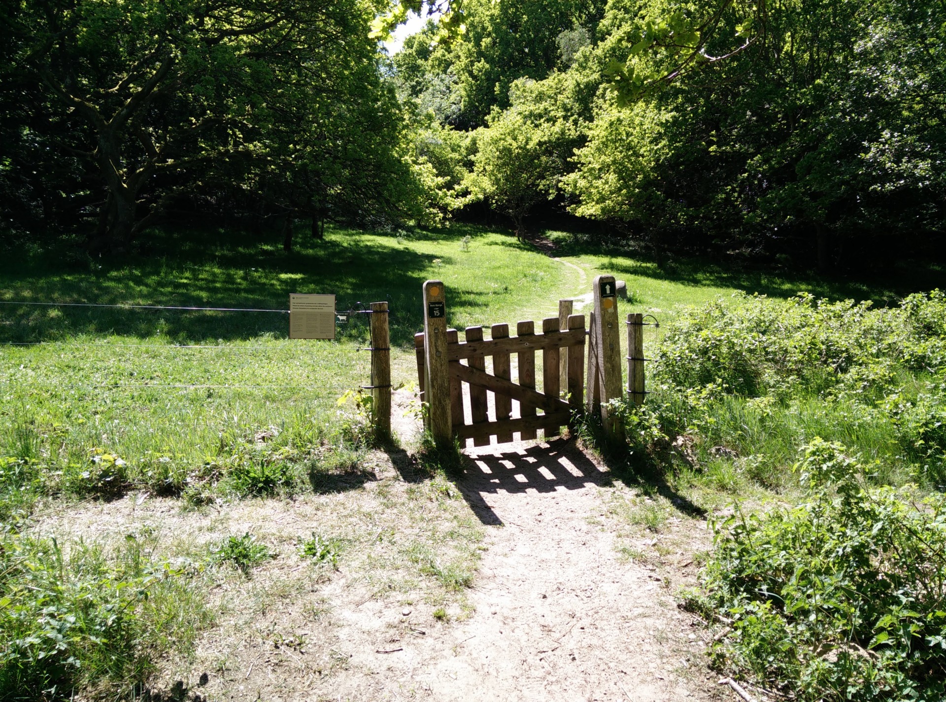
Agri Bavnehøj trail – one of many enclosure gates
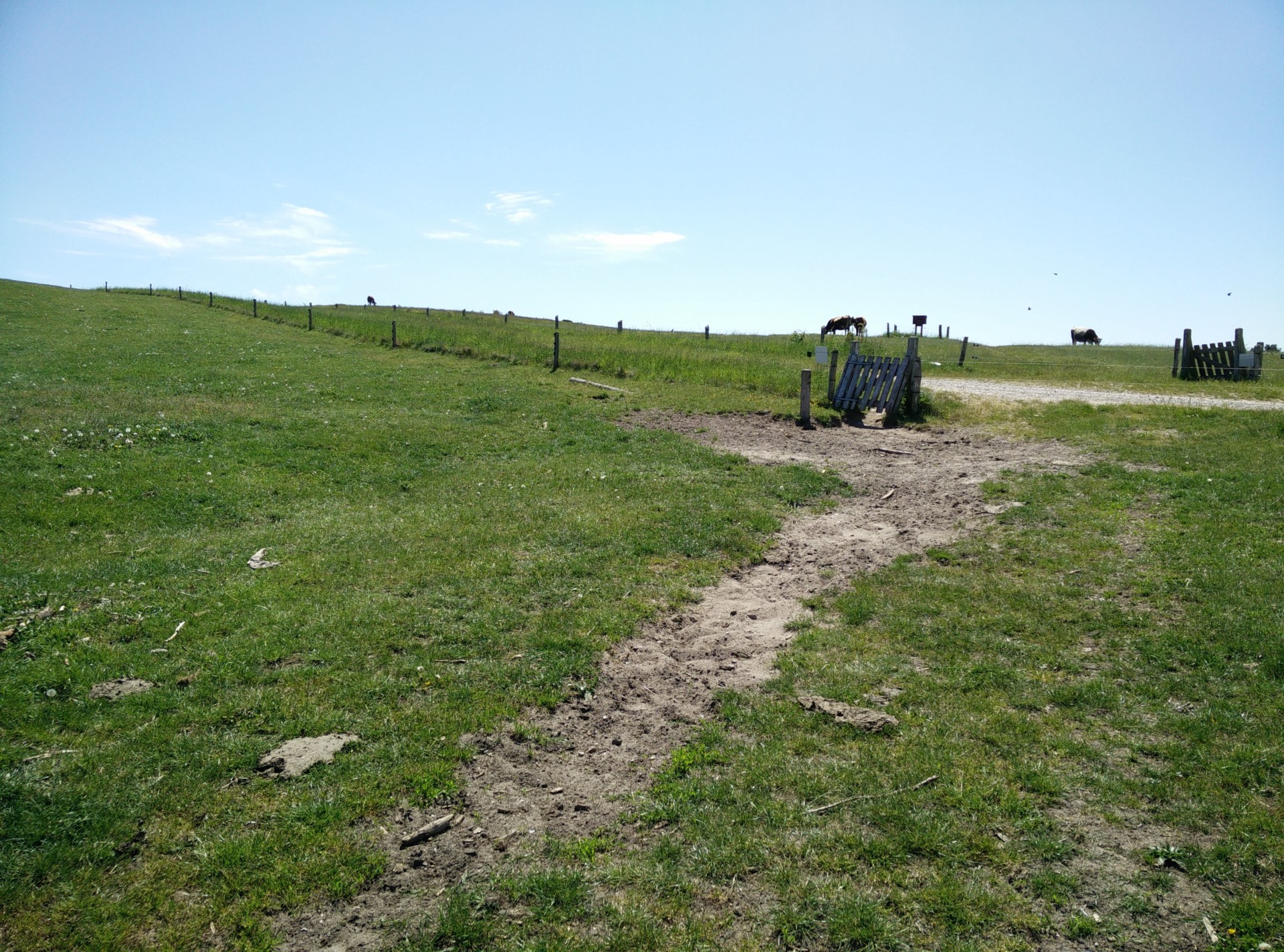
Agri Bavnehøj trail – reaching gate 50 and Stenhøjevej
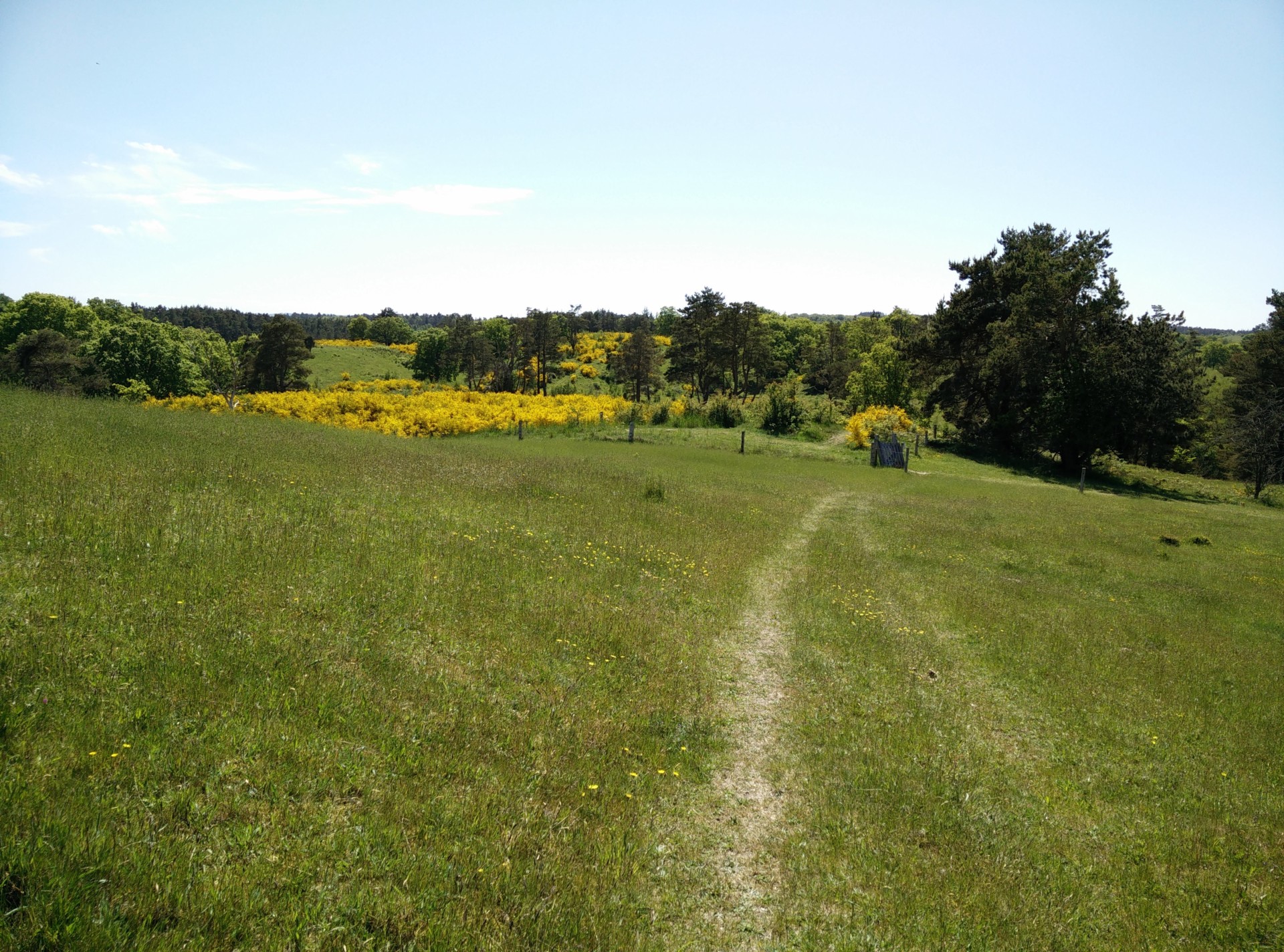
Agri Bavnehøj trail – path towards gate 49
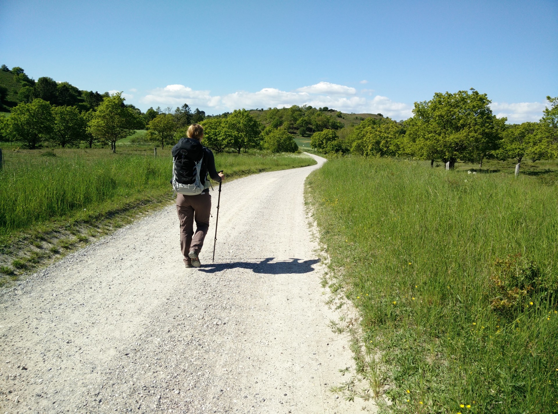
Agri Bavnehøj trail – walking on Tremosevej
Agri Bavnehøj trail – walking along Mols Bjergevej
Agri Bavnehøj trail – path on the hill itself
Agri Bavnehøj trail – rut road on the way back
Equipment
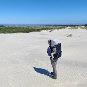
I was wearing my Boob Design Merino top and Fast Food sports bra so I could breastfeed hassle-free whenever needed, along with CimAlp Interstice hiking pants and lightweight hiking boots. As my boyfriend was carrying our daughter in the Osprey Poco child carrier backpack, I was carrying water, snacks, supplies and the CimAlp Cedera soft shell jacket in the Osprey Talon 44.
Equipment under scrutiny
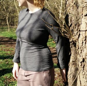
Boob Design Merino top
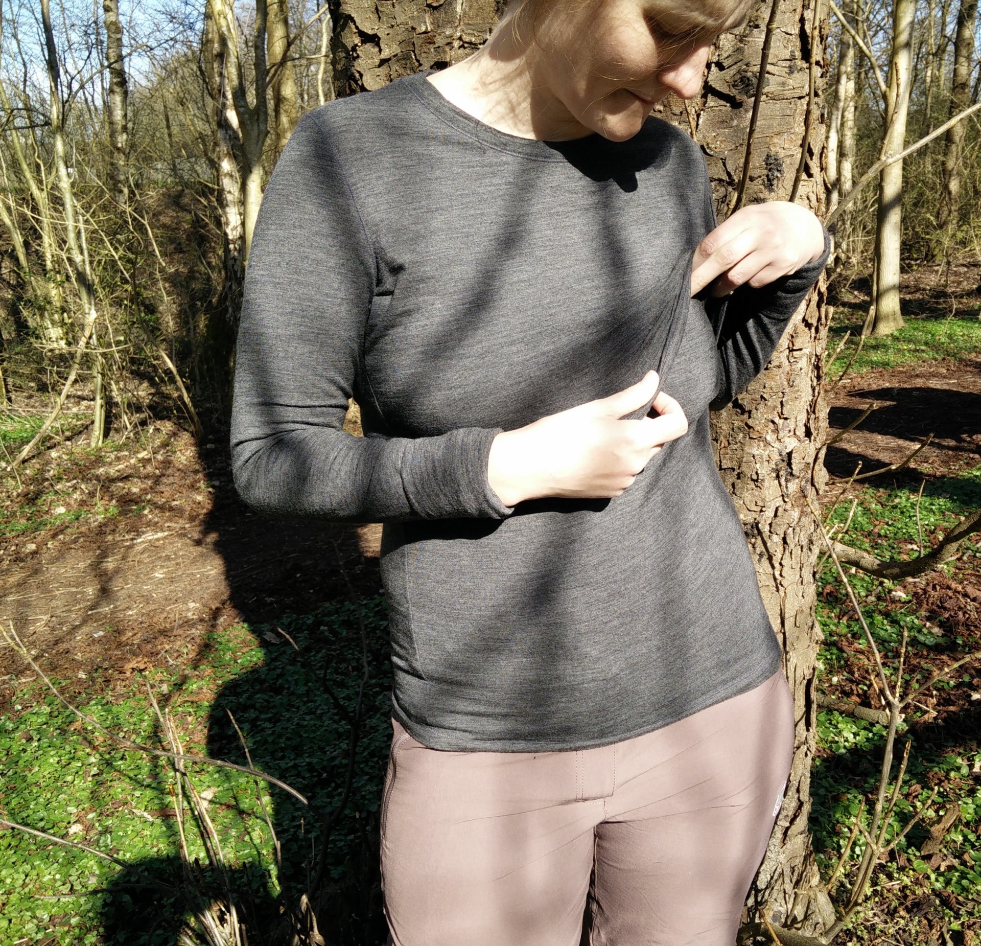
Boob Design Merino Top – overlapping front pieces for easy access
The Boob Merino base layer was great for this mild spring day with only occasionally chilly moments. The two front pieces which overlap at the chest ensure easy access to the breasts while your stomach remains covered and warm underneath the temperature-regulating Merino wool fabric. I really recommend this base layer for every nursing mom who wants to venture out into nature with their little ones. Read the full review here.
Conclusion and photo gallery
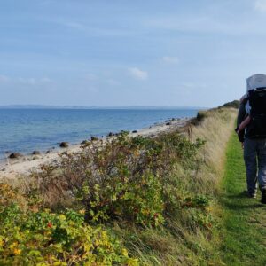
The eastern part of Jutland is the best place to hike in Denmark if you want to include a bit of ascent, and Mols Bjerge National Park offers some beautiful nature and wind-swept plains with views of the sea. This was our first longer hiking trip with our then 8-months old daughter in a child carrier backpack, and it was a good trail for this as we could both stop for breastfeeding and turn around several places to make our way back, if necessary. She seemed to enjoy the trip, not least when we passed by groups of cows or horses that she could marvel at. The route is indeed ideal for families, but make sure that also your kids are on their best behavior around the grazing livestock. On the last part of our trail, we did cross through an enclosure with some young bulls which only seemed to tolerate us due our quiet and swift moving through their grounds.
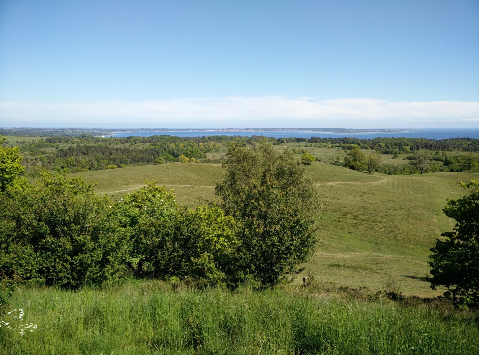
Agri Bavnehøj trail - view from the top
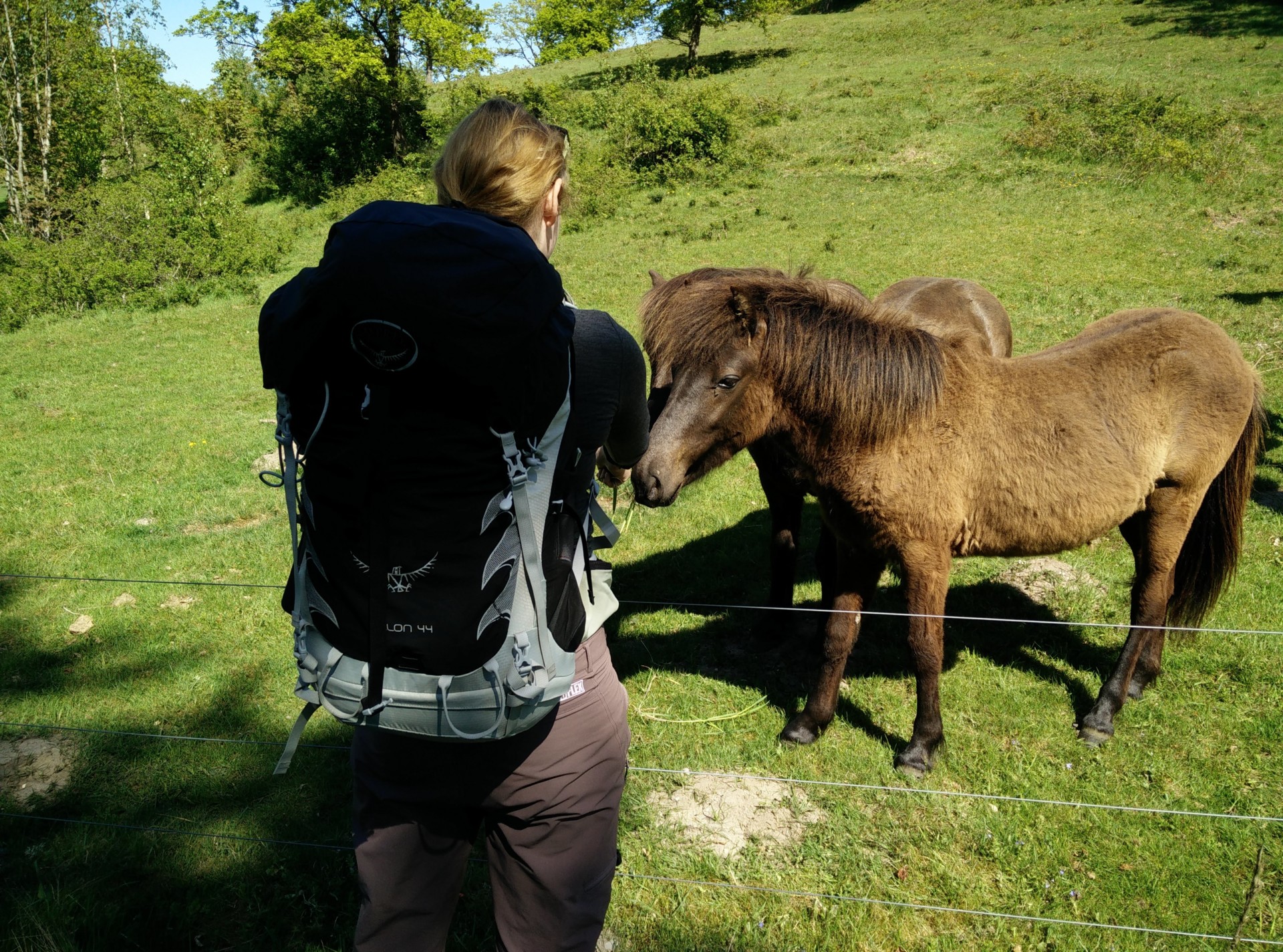
Agri Bavnehøj trail - greeting Icelandic horses
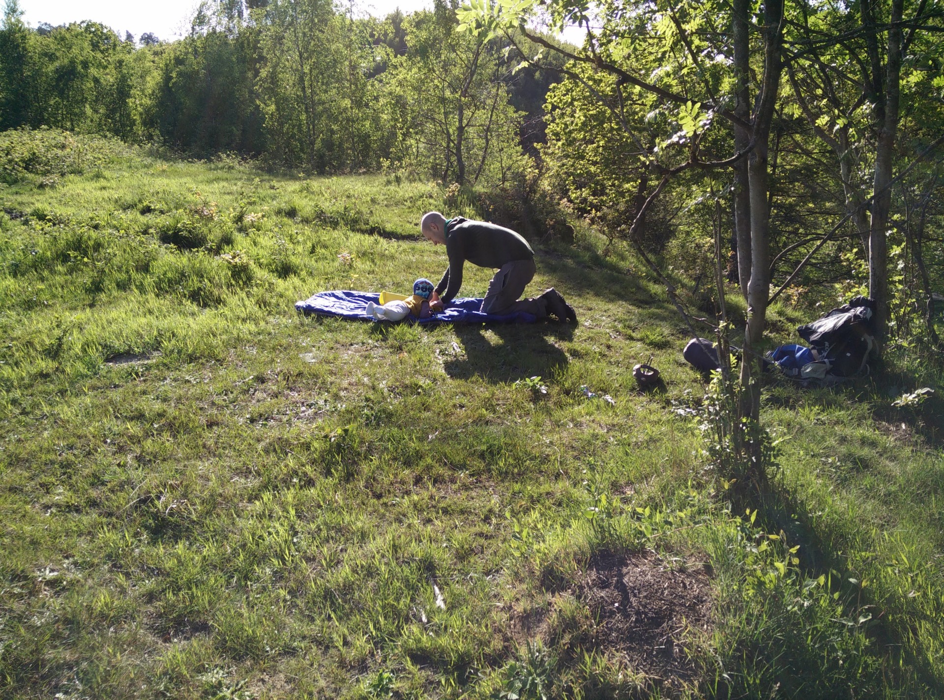
Agri Bavnehøj trail - having a break with baby in the grass
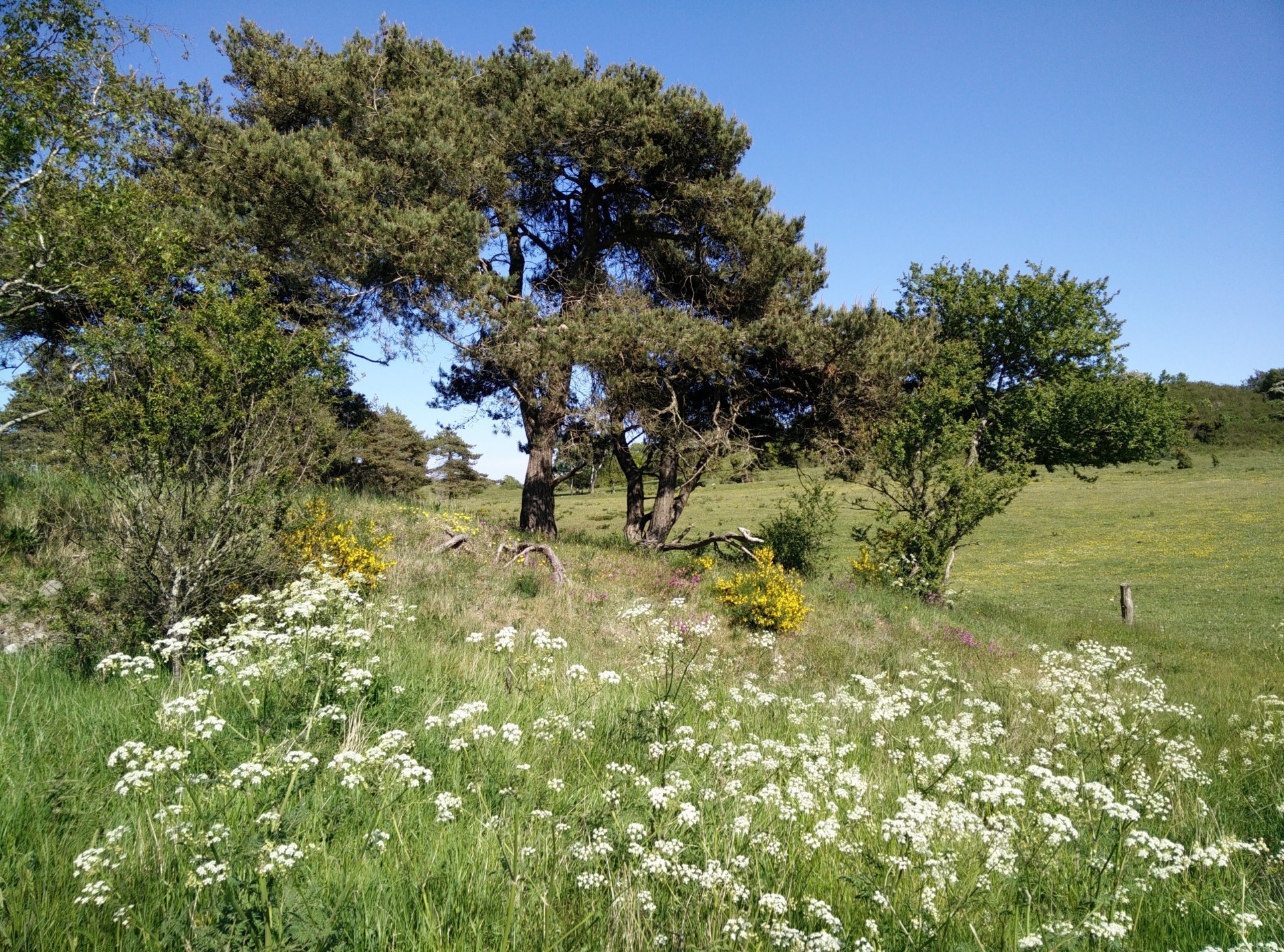
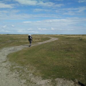
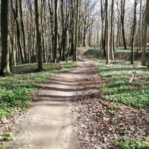
Agri Bavnehøj trail - typical vegetation on trail
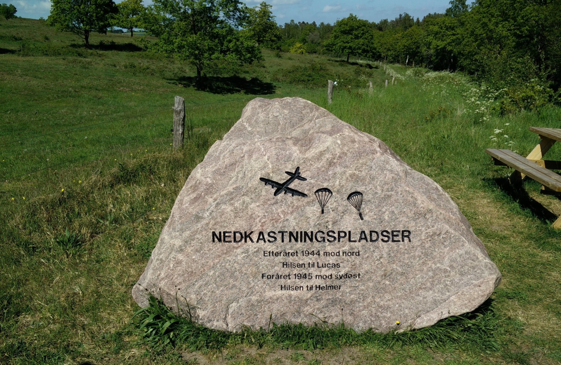
Agri Bavnehøj trail - memorial stone for WW2
If you have any questions about this hike, please drop me a line in the comments below.