Ulfarsfell Hiking Trail
About Ulfarsfell Hiking Trail
Ulfarsfell is a small mountain near Reykjavik. I found it by coincidence while I was searching for short hikes with beautiful viewpoints in the nearness of Reykjavik. I actually couldn’t find much information about it on the internet but from the map I saw it’s around 300 meters high and that a decent path is running to the top. To reduce possible navigation problems I inserted the waypoints in Suunto’s Movescount App and synchronized the app with my Suunto Ambit 2 watch. I went by public transport, and this trail is indeed also on our list of the 5 Best Hiking Trails in Iceland Reachable by Public Transport.
Ulfarsfell Hiking Trail Details
Physical Difficulty
Easy
Technical Difficulty
Easy
Duration
2 h 25 min
Distance
8 km
(4.97 mi.)
Ascent
315 m
(1033 ft.)
Descent
315 m
(1033 ft.)
Highest Point
307 m
(1007 ft.)
Lowest Point
59 m
(194 ft.)
Date of the Hike Date when we did this hike ?
May 2015
Weather On the day when we did this hike ?
Mostly Cloudy
Temperature On the day when we did this hike ?
11° C
(52° F)
Wind On the day when we did this hike ?
20 km/h
Ulfarsfell GPS Route and Trail Description
*Click on the chart to see the location on the map
GPX route helps you with the navigation on a hike. It can be used with a smartphone, handheld GPS device or a GPS watch.About GPX Route
Reaching the starting point
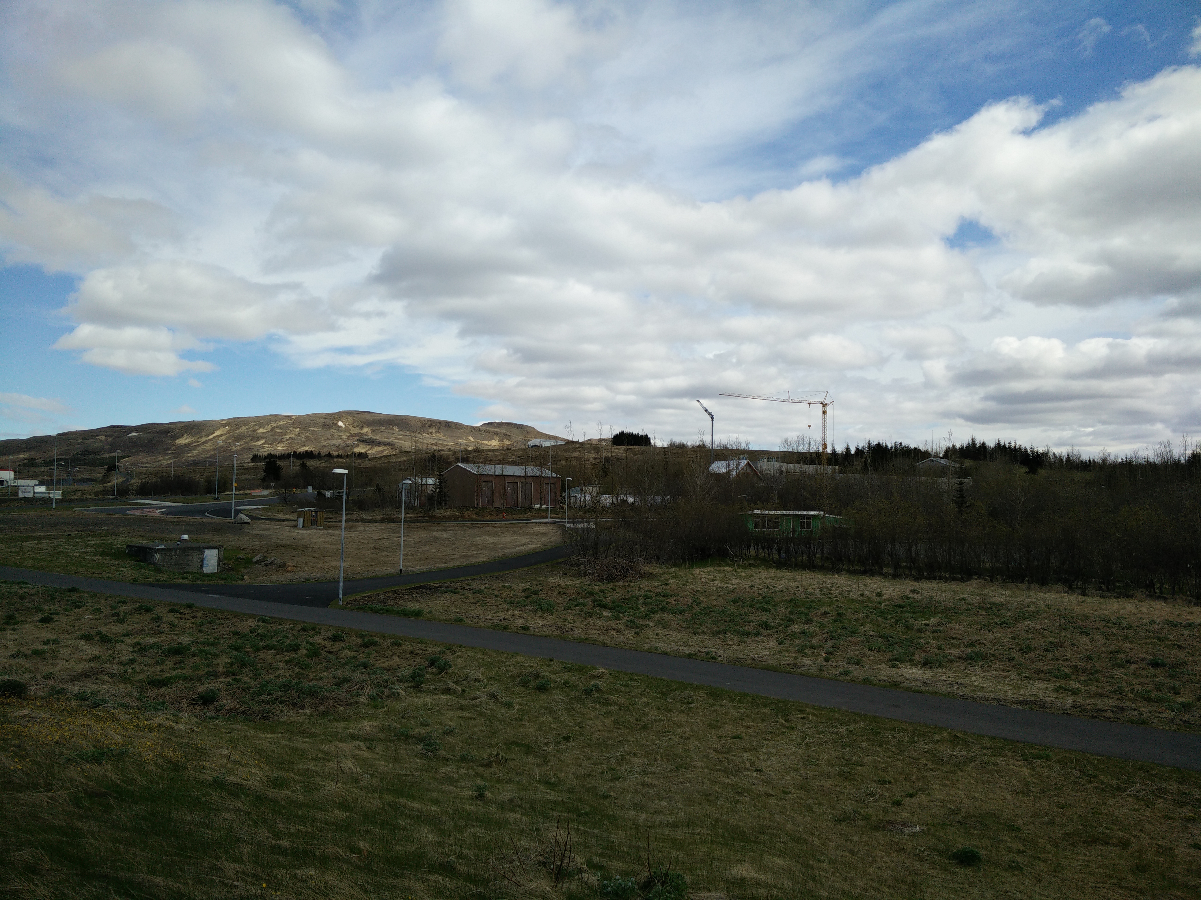
The starting point can be reached by bus number 15 (towards Reykjavegur) that drives from the Hlemmur main bus station in Reykjavik. Get off the bus at the bus stop called Vesturlandsvegur/Ulfarsa. The bus drive will take you about 20 minutes. At the Vesturlandsvegur/Ulfarsa bus stop the above attached GPS route starts. If you are not planning to leave from the Hlemmur main bus station, check the Straeto website to find other bus lines that intersect with number 15.
Trail
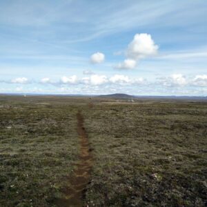
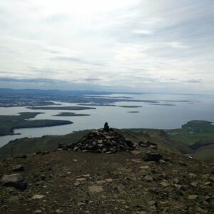
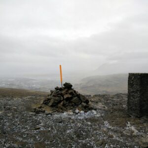
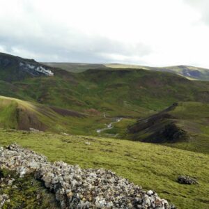
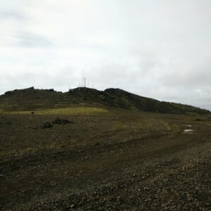
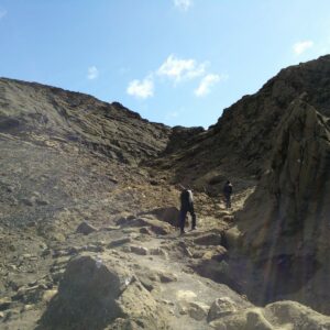
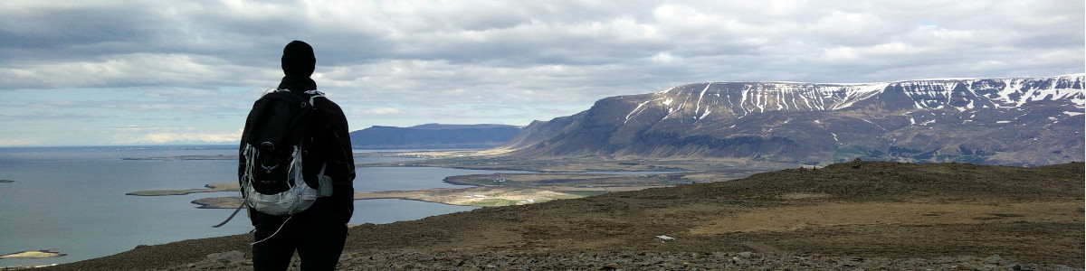
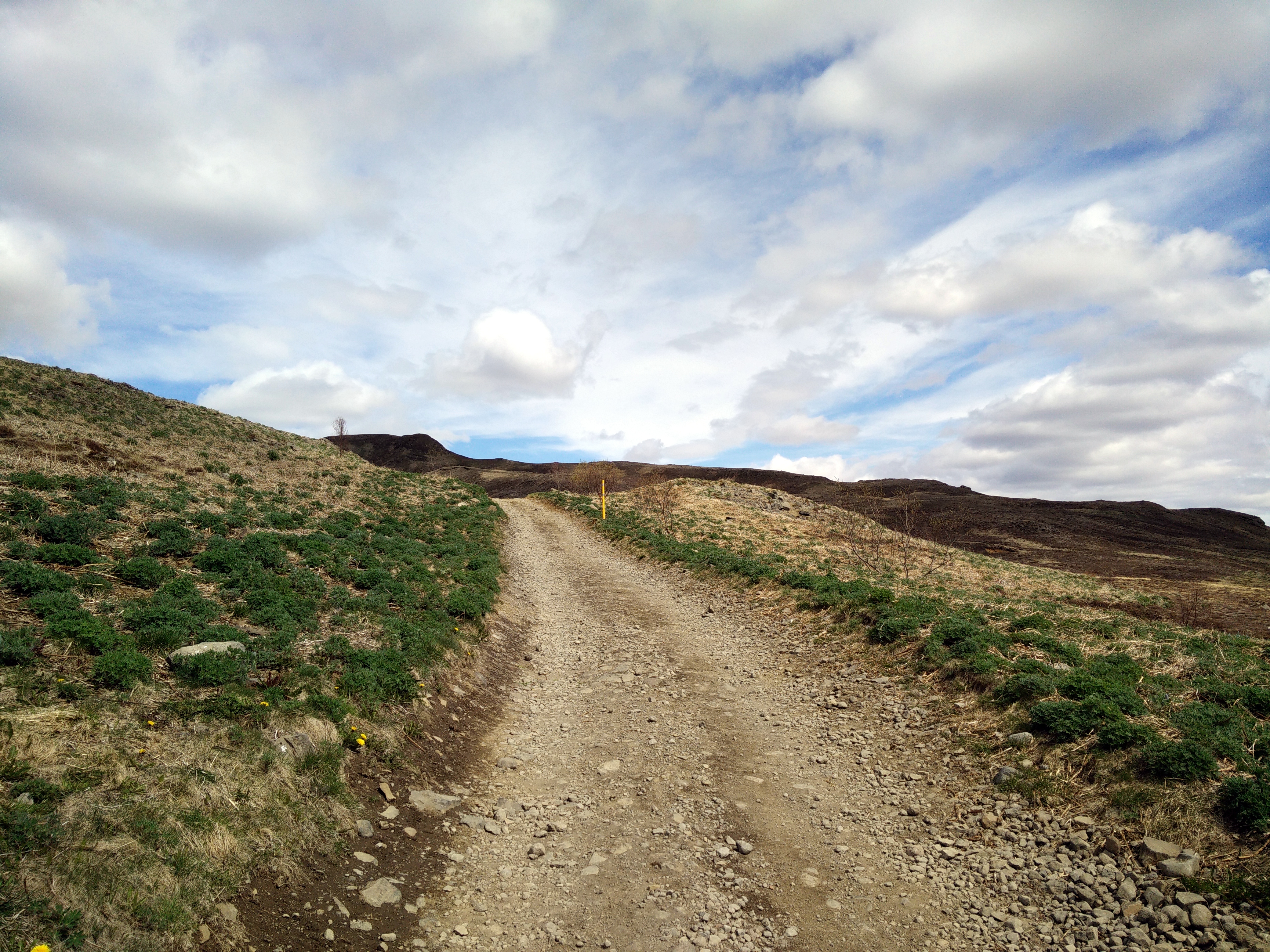
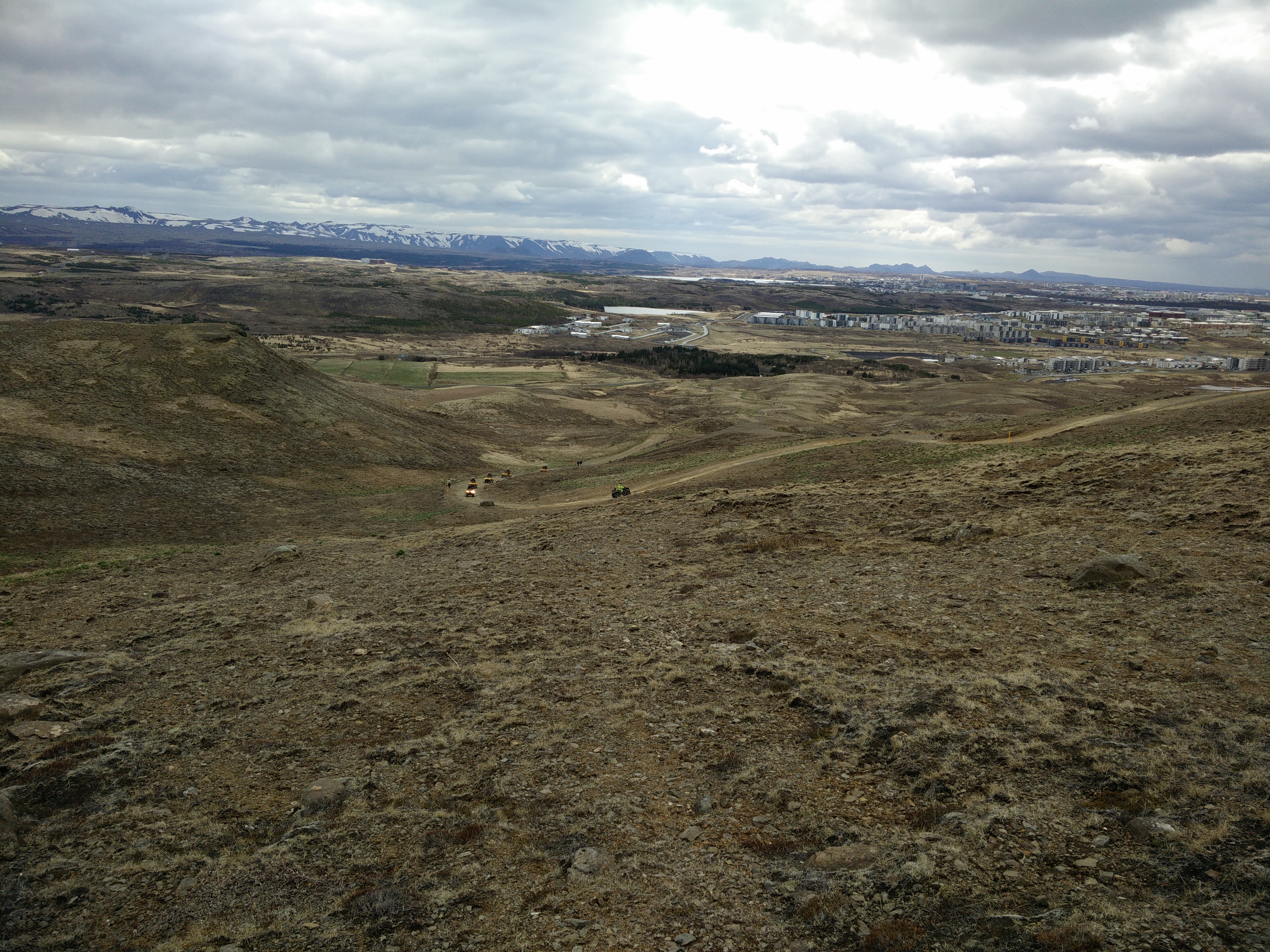
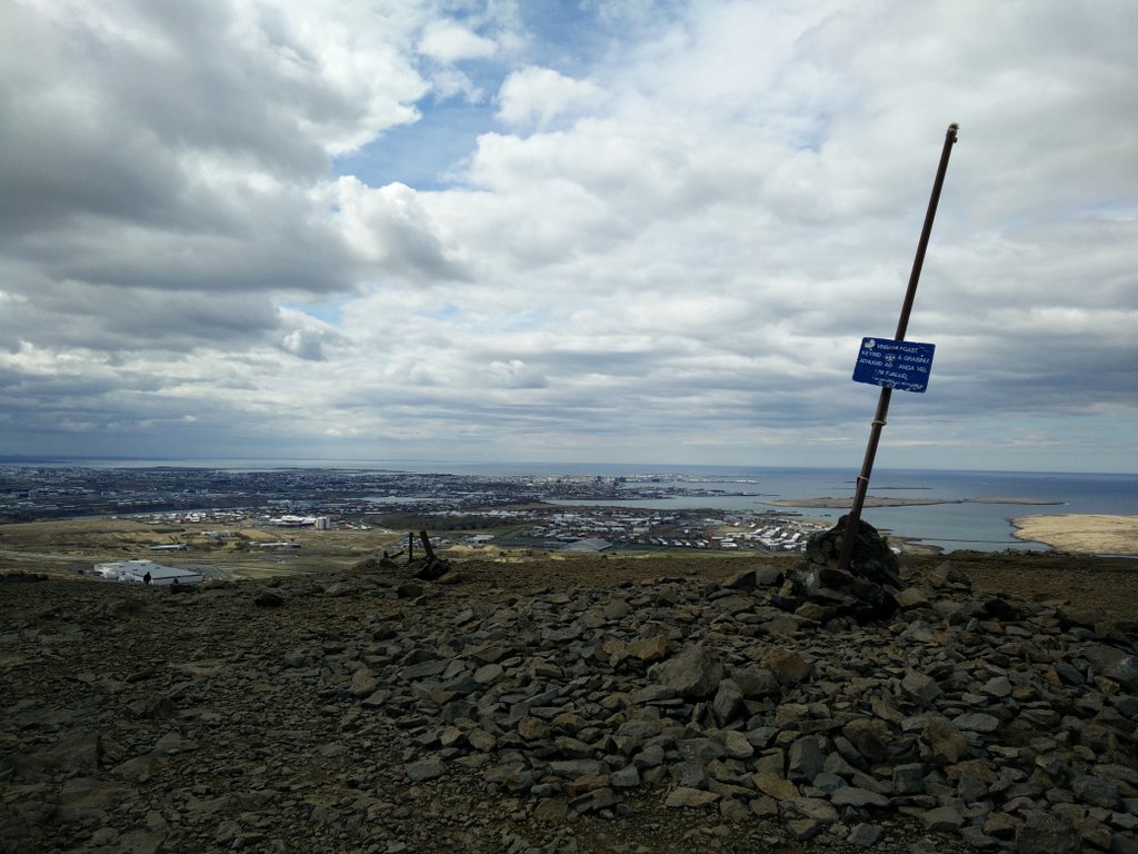
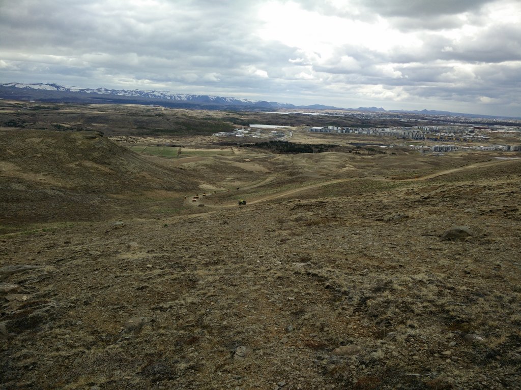
This hiking trail is very easy and can be done by everybody. For the first 300 meters you walk on a asphalt road. Then you hike on a wide dirt track which had some heavy ATV traffic at the time I was doing the hike. This was not a very pleasant experience since the ATVs were raising dust along the road. After approximately 2.8 kilometers the wide dirt track ends and the climb towards the mountain top starts. The track becomes narrower and steeper. There are actually a few paths leading towards the top. I chose the westernmost path since this gives the best overview of Reykjavik and the Atlantic Ocean. On the summit you will find a small building with antennas and a stone-made shelter. Navigation is simple because the mountain top is seen from the beginning of the hike.
Getting back to the starting point
To descend from the summit I used the path that runs along the eastern ridge of the mountain. This path later connects with the path I used for the way up. Then I just continued back to the starting point. Keep in mind that you need to come on the bus stop on the other side of the highway if you are heading towards Reykjavik. There is a tunnel for pedestrians near the bus stop which can be used to safely cross the highway.
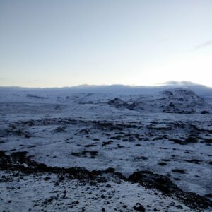
Ulfarsfell Starting Point
Ulfarsfell Trail
Ulfarsfell Descend
Equipment
Since I knew that the distance is short, the weather was good and the mountain relatively small I didn’t complicate with the equipment. I was wearing a t-shirt made of polyester, lightweight fleece jacket made of Polartec Stretch, a Mammut windstopper, windproof Schoeller AB400 pants, mid-length hiking boots from Salewa and a simple hat made of cotton that proved to be more or less useless. The Icelandic wind can be very strong and therefore I advise you to wear wind-resistant clothing. Also use appropriate gear and clothing for the season. I believe that in winter, crampons are necessary for this hike. In the backpack I carried water, food and some additional thermo clothing.
Equipment under scrutiny
Salewa Mountain Trainer Mid – Hiking Boots
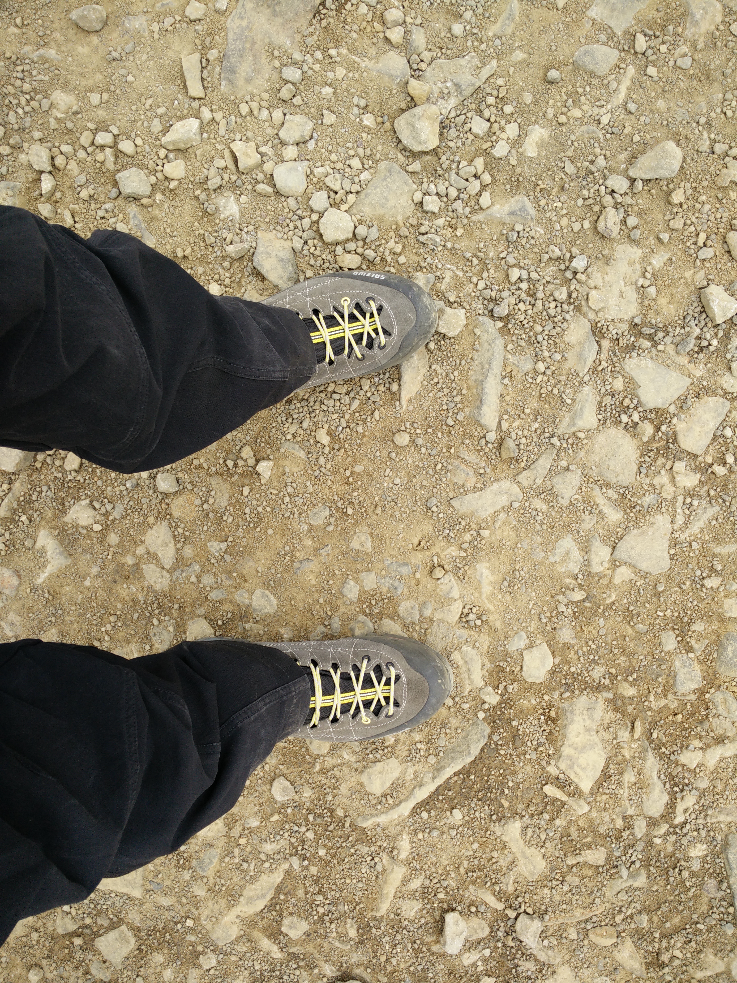
Salewa Mountain Trainer Mid Hiking Boots
I used brand-new Salewa Mountain Trainer Mid hiking boots for this hike. These boots are better for scrambling and via ferrata then walking. However, I was very satisfied with them on this easy hike. The sole of the boot is quite stiff, which makes the boot a little less comfortable on long walks but on the other hand gives great performance in rocky terrain. The boot offers great grip and is well protected by rubber inserts. I didn’t have any problems with blisters even though I wore these boots for the first time. You can read the full review of the Salewa Mountain Trainer Mid hiking boots here.
Note: Salewa has since released an updated version of this boot and the link is pointing to the new version.

Osprey Talon 44 – Hiking Backpack
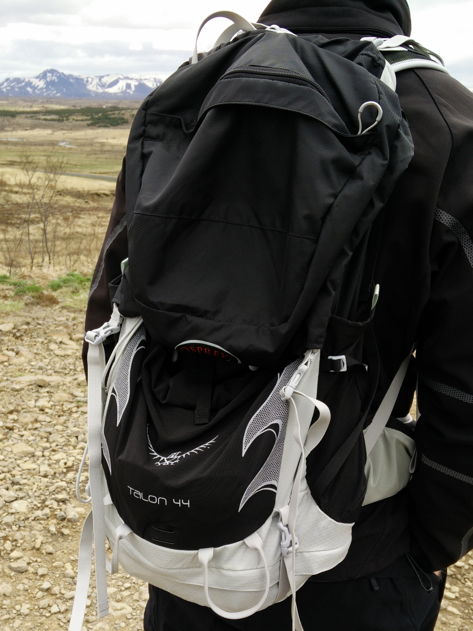
Osprey Talon Hiking Backpack
The Osprey Talon 44 is an incredible piece of gear. I’m very satisfied with this lightweight and spacious backpack. However, it would be better to have a smaller backpack for this hike since I didn’t carry much with me. I only brought water, food and some additional thermo clothing, which decreased the stability of the backpack. Otherwise, the Osprey Talon 44 offers incredible comfort and functionality. What I like most about this backpack is the hiking poles attachment system that allows you to easily attach or detach poles while on the move as well as the hip belt pockets that are perfect for a cell phone or camera, and of course the ultra light construction. You can read the full review of the Osprey pack here.
- Note: Osprey has since released an updated version of the Talon 44 backpack and the link leads to the new version.

Conclusion and photo gallery
The Ulfarsfell hike is best for those who are staying in Reykjavik for a limited time period and want to get a bit of outdoors life without using too much money or time on transport. Experienced hikers will probably find this hike too easy. However, it was a nice beginning for a Hiking Iceland season.
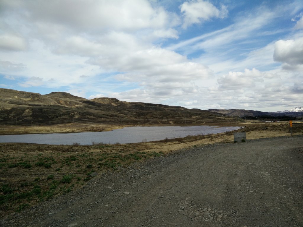
Ulfarsfell Trail - Lake
Ulfarsfell Trail - View Point
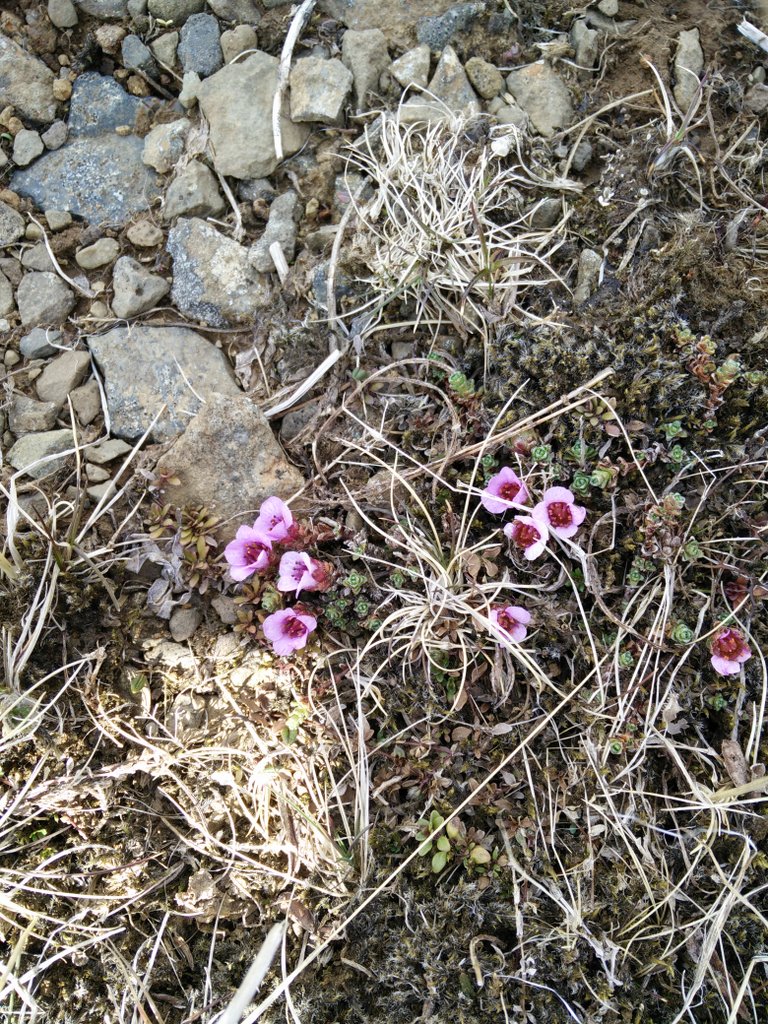
Ulfarsfell Trail - Vegetation
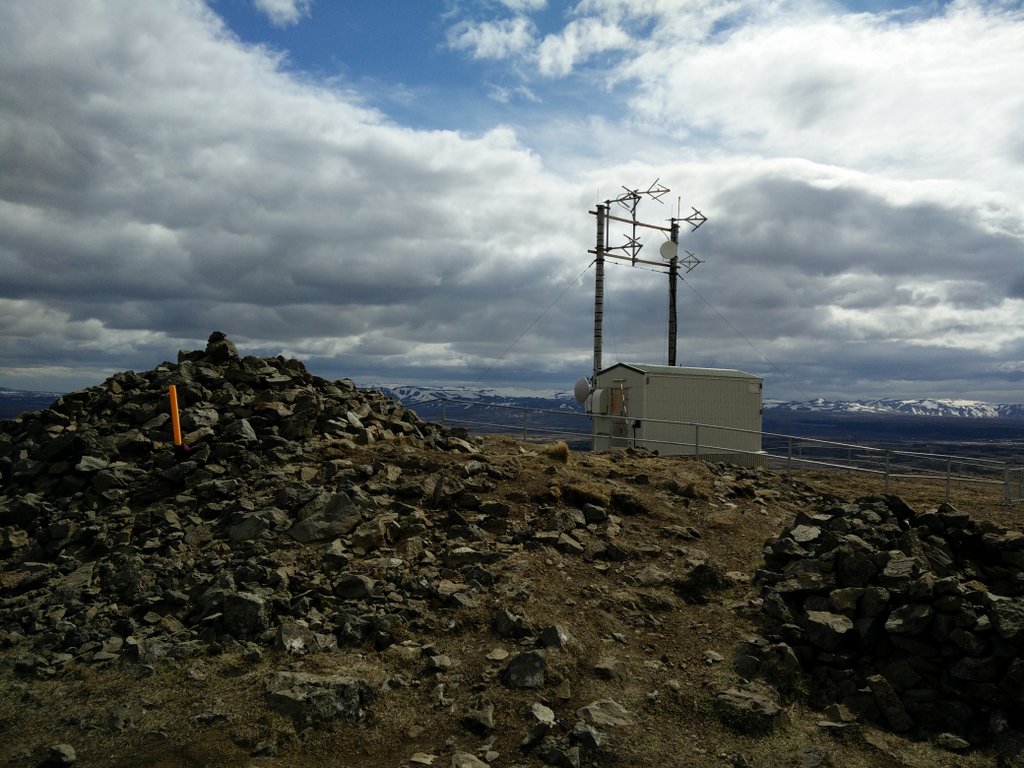
Ulfarsfell Trail - Top
Ulfarsfell Trail - Path
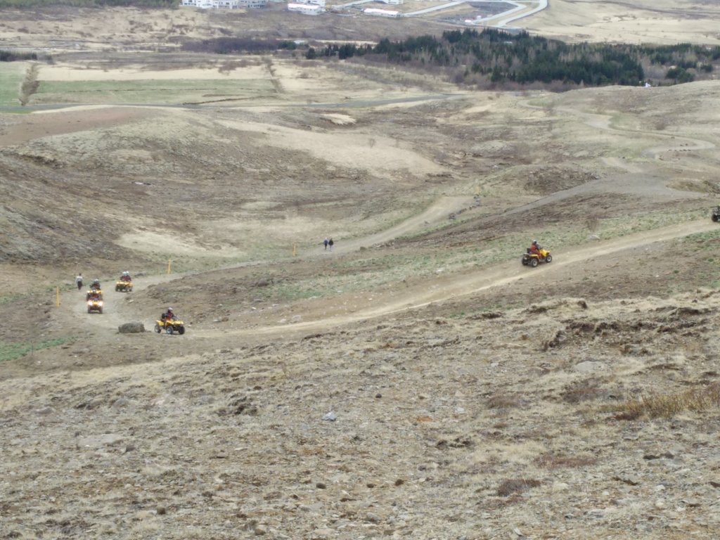
Ulfarsfell Trail - ATVs
If you have any questions about this hike, please drop me a line in the comments below.
Ulfarsfell Terrain Video